Many existing maps and imagery available through open source websites and agencies have a limited 1 meter imagery quality. At 95West Aerial Mapping, we combine cutting-edge technology with expert insight to deliver high-resolution imagery and lidar data to six or three inches. That can be exponentially better than existing imagery which can help you meet the most demanding project requirements.
Examples:
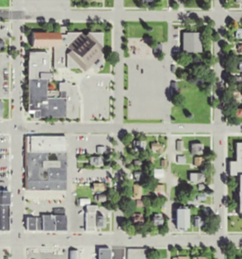
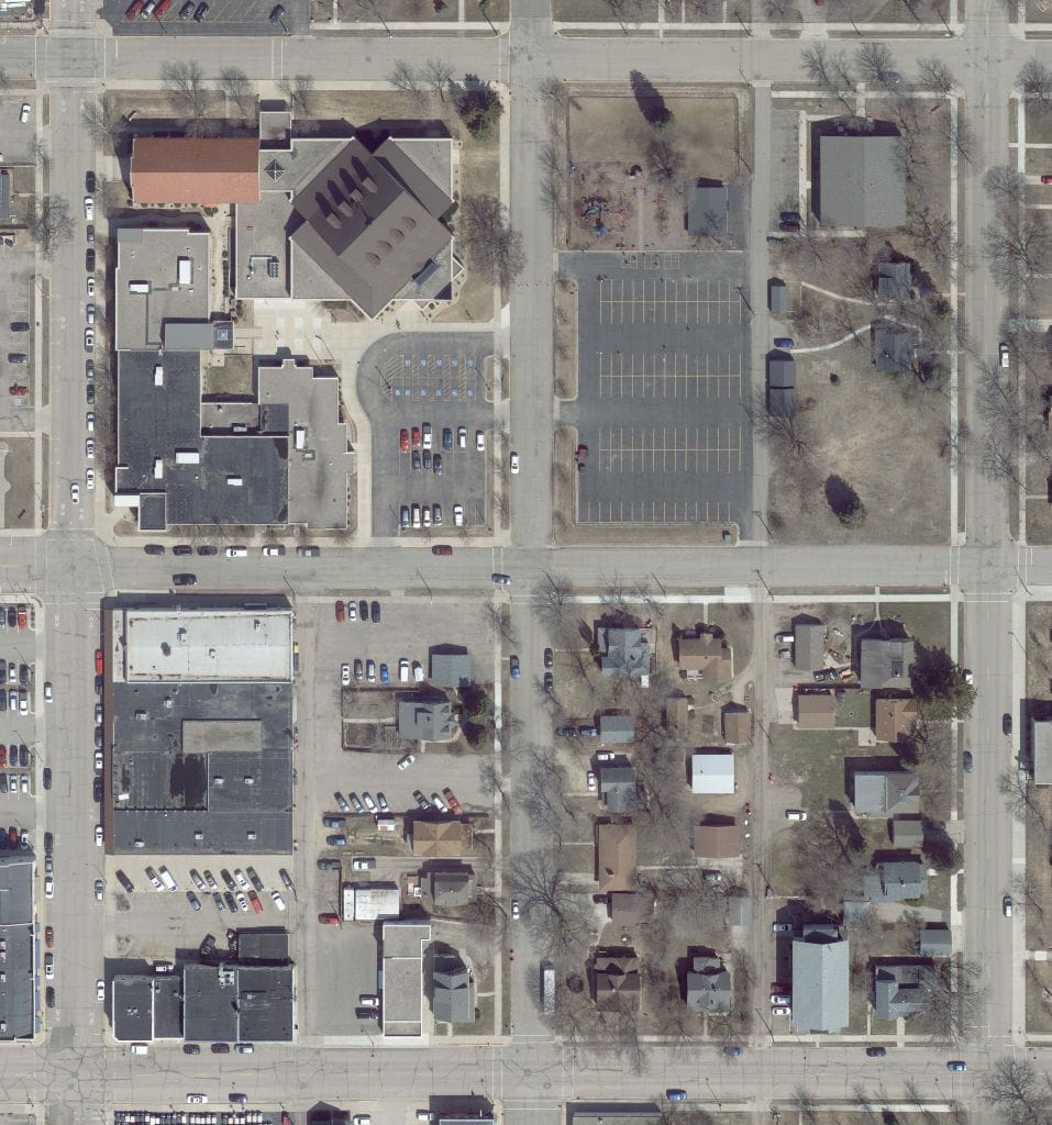
Not only is the newer 95West imagery better than the typical existing imagery, 95West can capture images during leaf off seasons for more ground detail.
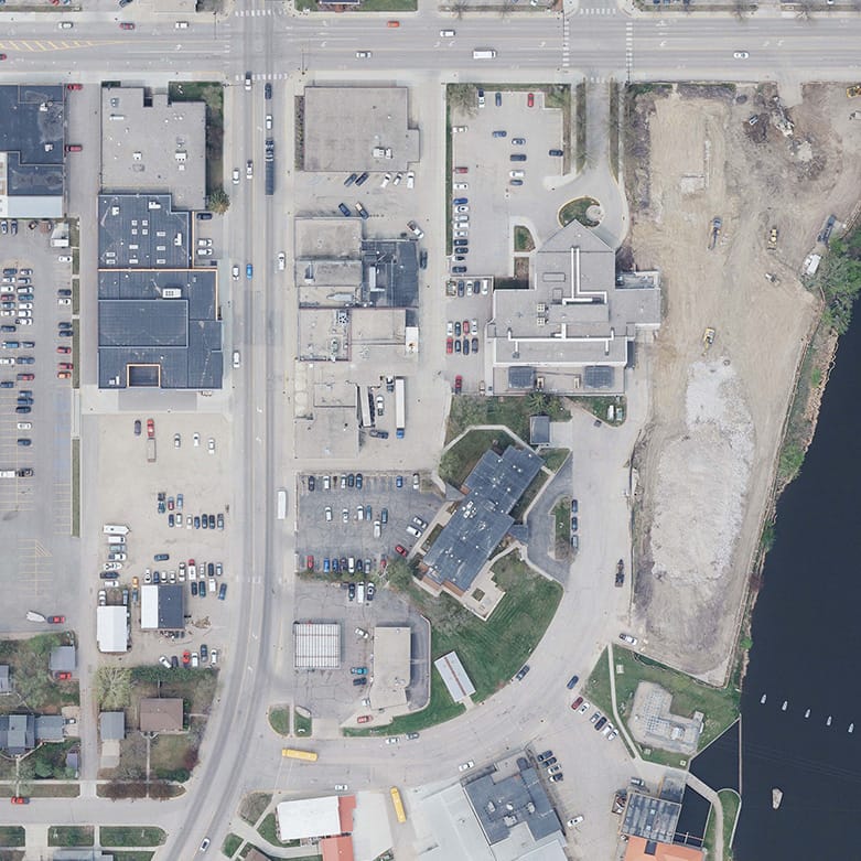
Typical existing imagery shows much less detail than the newer 95West imagery captured with the Vexcel UltraCam Eagle. Newer and sharper imagery can be used by multiple departments in county and city government organizations.
How do we do it?
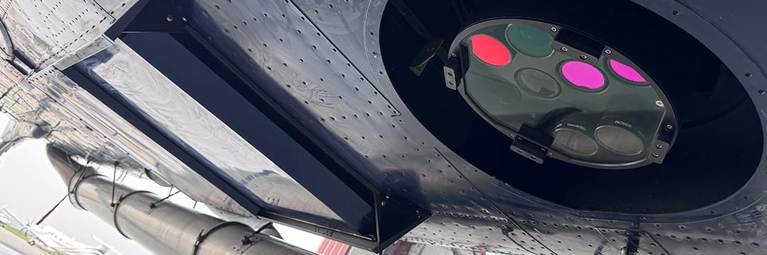
Advanced Sensor Technology:
Because we have a larger fixed wing plane, we can deploy industry-leading sensors to capture both imagery and lidar data simultaneously.
- Riegl VQ-1560 II-S: Dual-channel lidar scanner, Ultra-wide area coverage, and Ultra-high point density
- Vexcel UltraCam Eagle: Taking photos with 26,460 x 17,004 pixel resolution and up to 1 frame every 1.5 seconds, resulting in fewer flight lines, more data in less time


