Photogrammetry
Photogrammetry
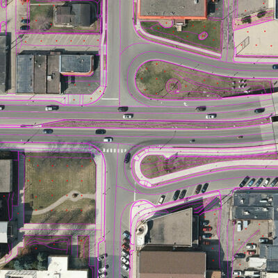
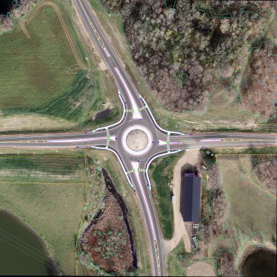
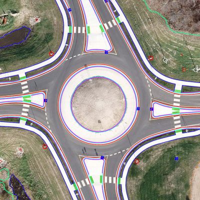
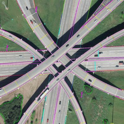
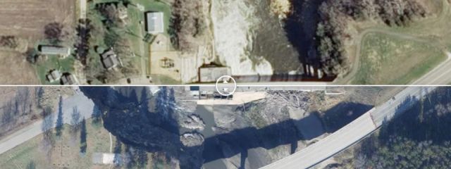
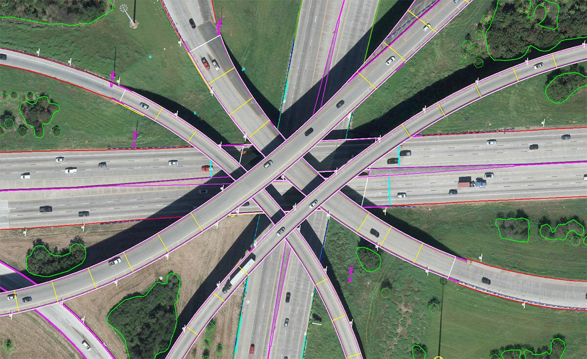
Photogrammetry is the science of extracting three-dimensional data from aerial imagery. Overlapping photographs from two lines of sight are utilized to measure distance and depth over an area of interest.
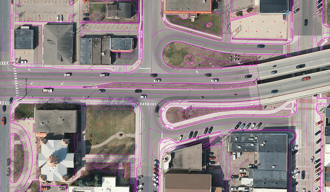
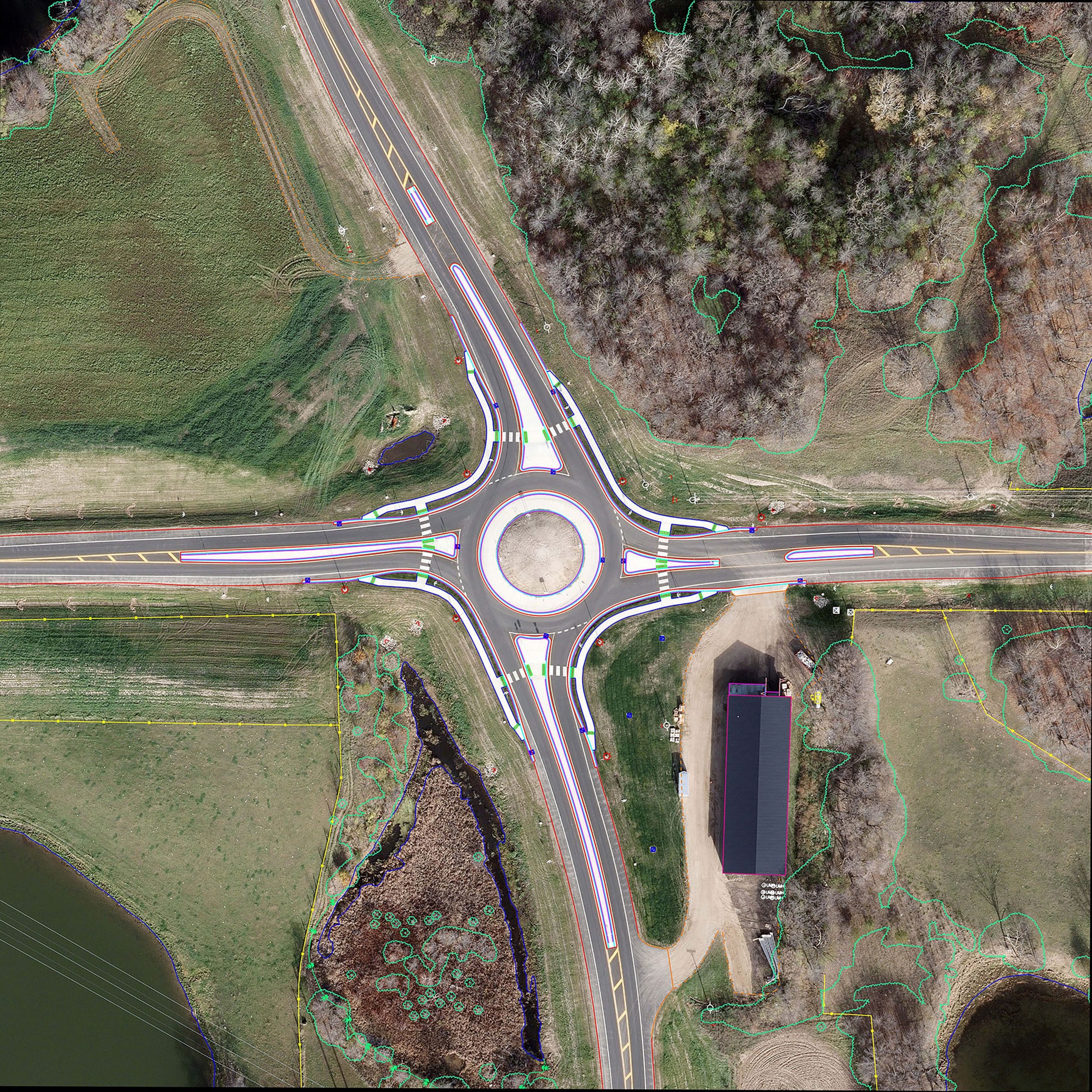
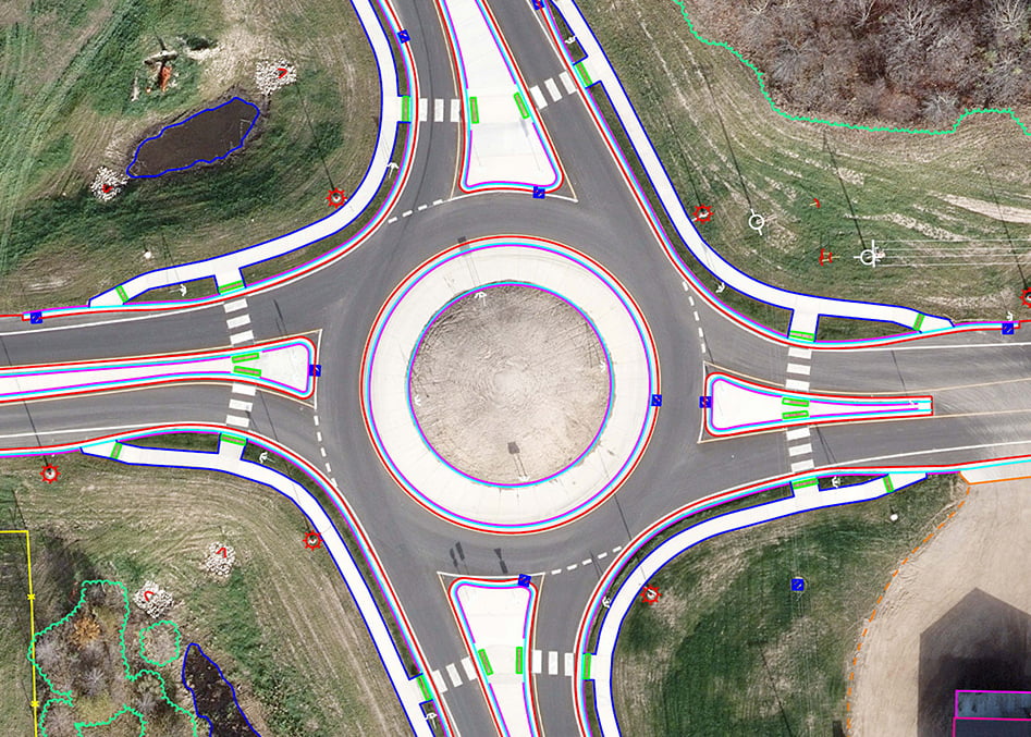
Planimetric and topographic features are digitized from aerial imagery to produce a three-dimensional map of the subject area. Photogrammetric mapping provides a highly accurate and detailed base map for a variety of applications such as:
- Feature collection and inventory
- Digital Terrain Modeling (DTM)
- Surface modeling
- Contour generation
- Triangulated Irregular Network (TIN)
Our latest technology and well-defined stereo compilation workflow allow us to compile data from small to large-scale mapping projects while delivering accurate and precise digital products that meet required project specifications.


