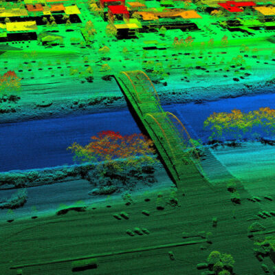
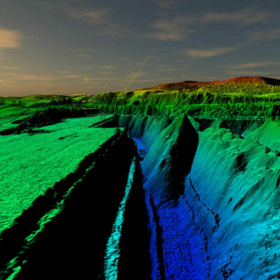
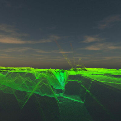
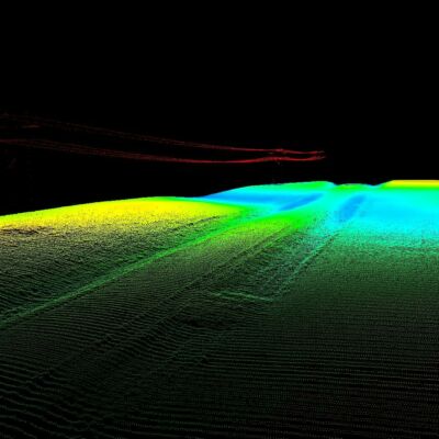
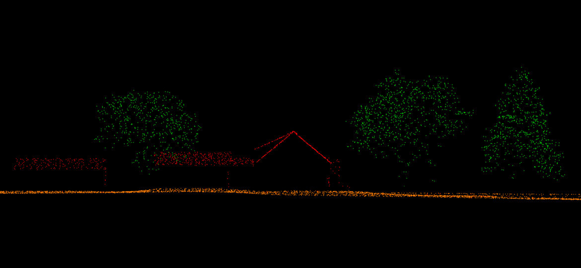
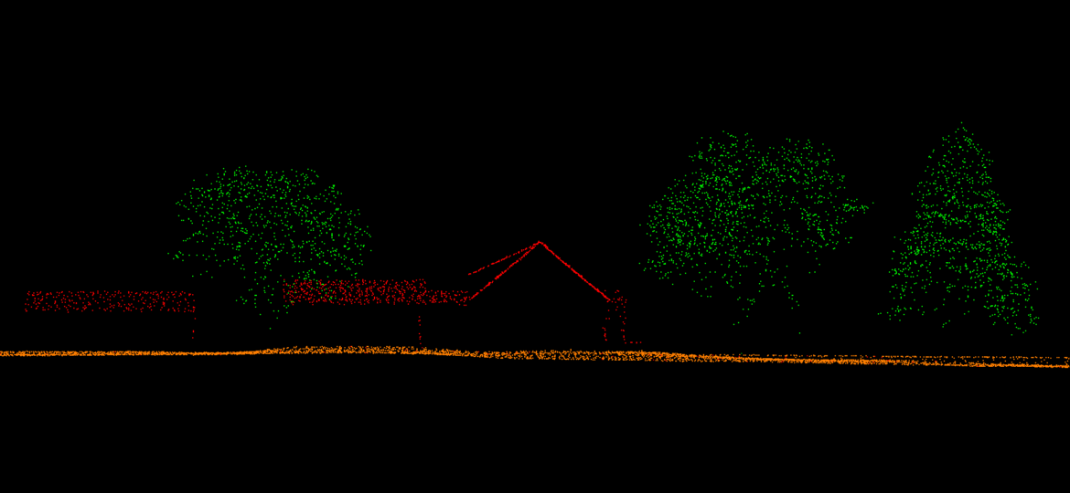
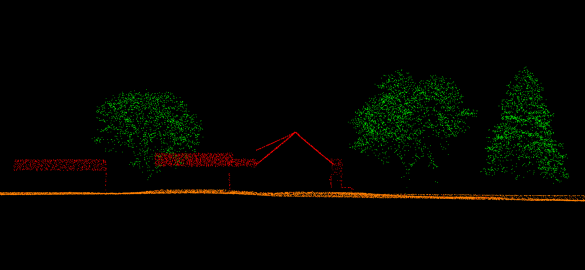
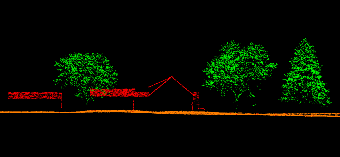
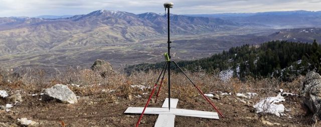
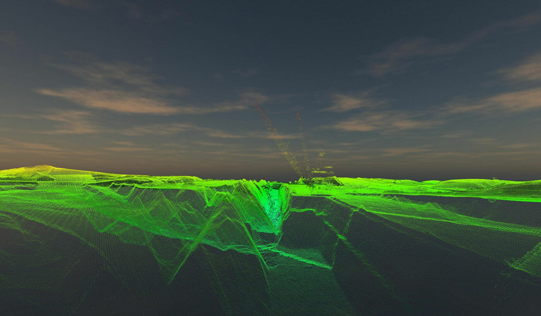
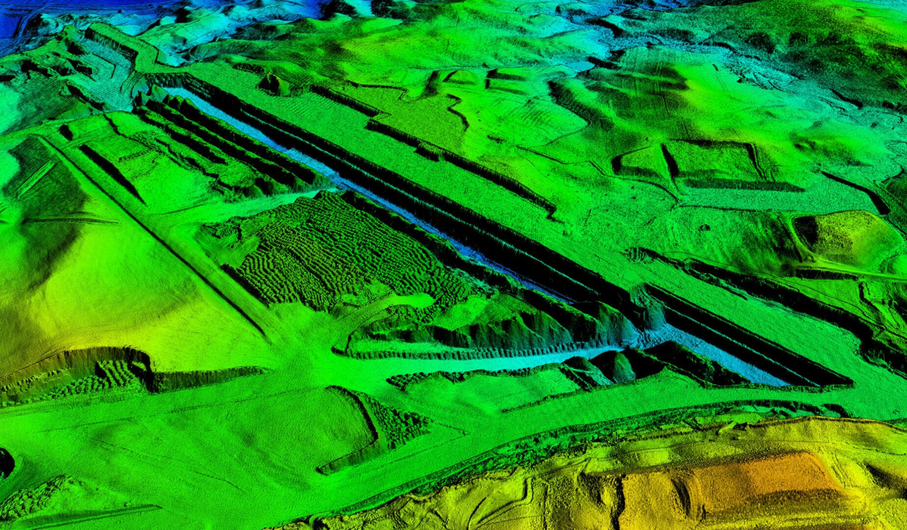
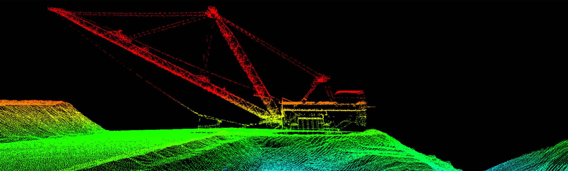
Aerial Lidar surveys use laser technology to survey large areas quickly and accurately.
Lidar captures wide area terrain information and above ground features more efficiently than conventional survey methods.
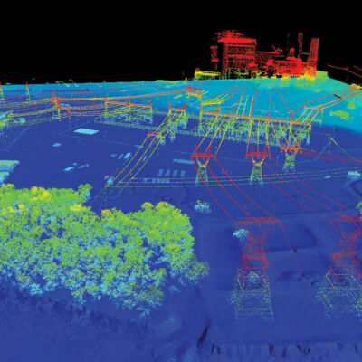
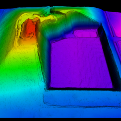
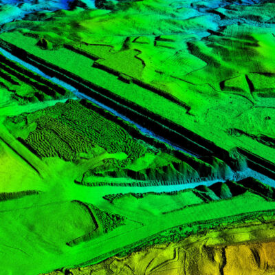
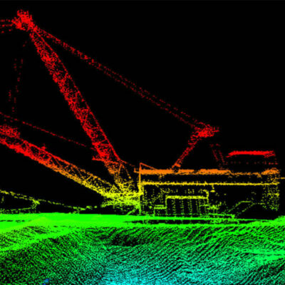
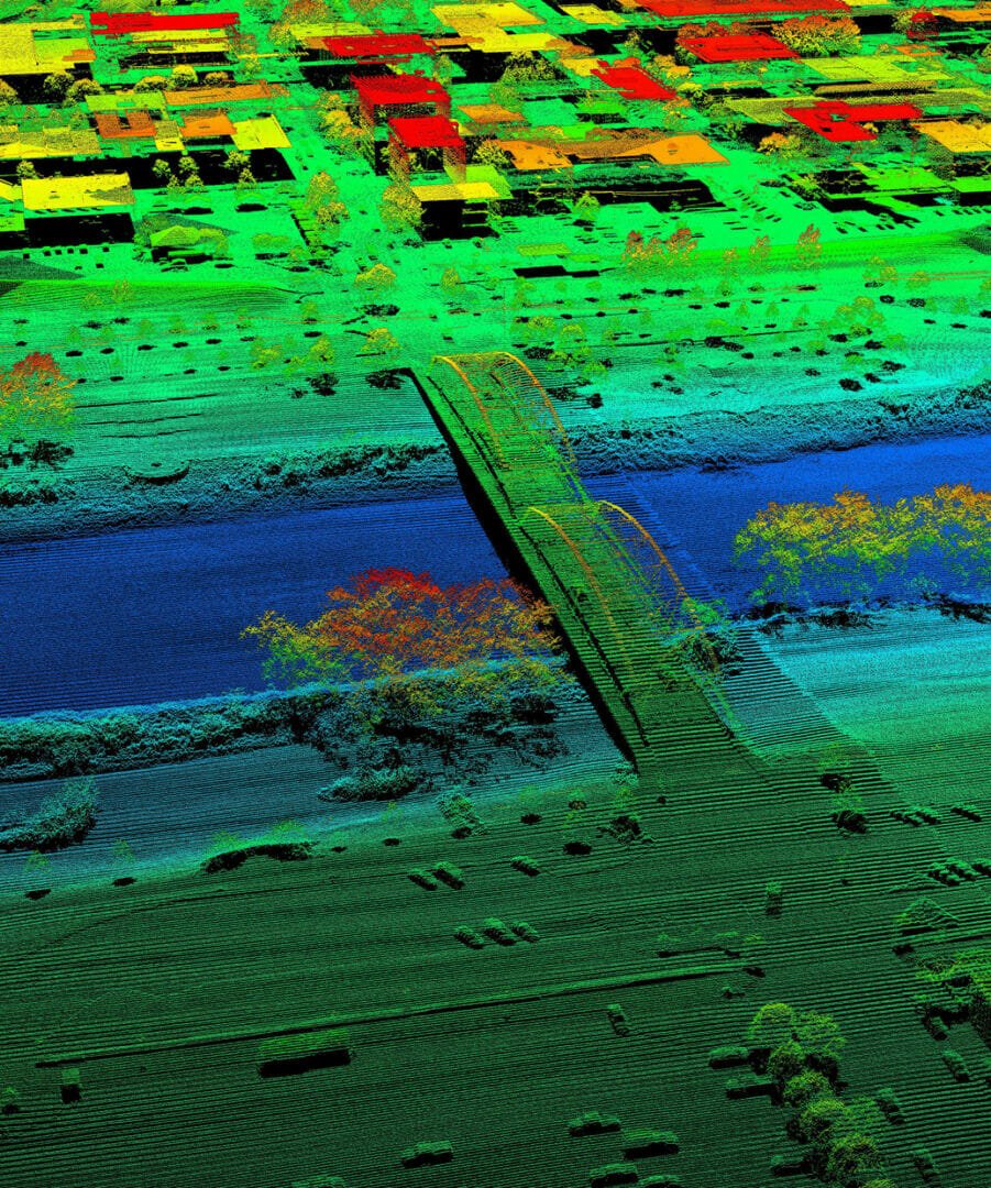
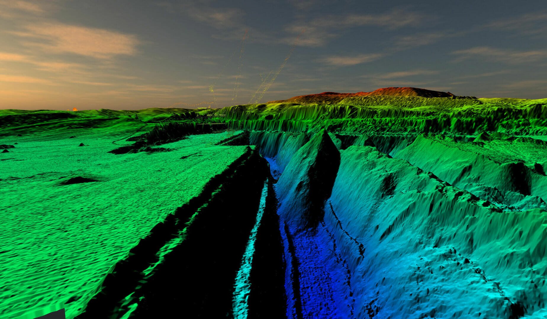
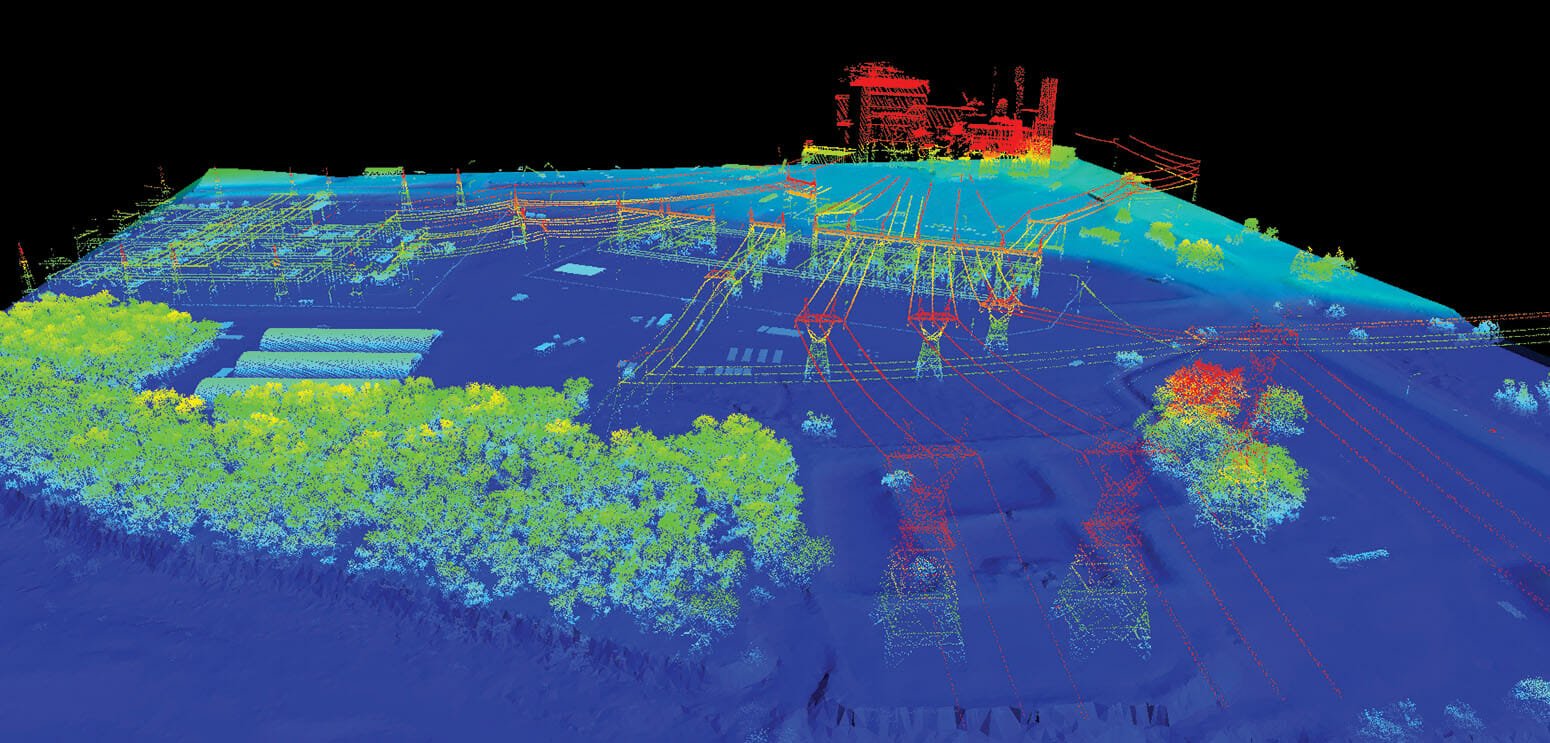
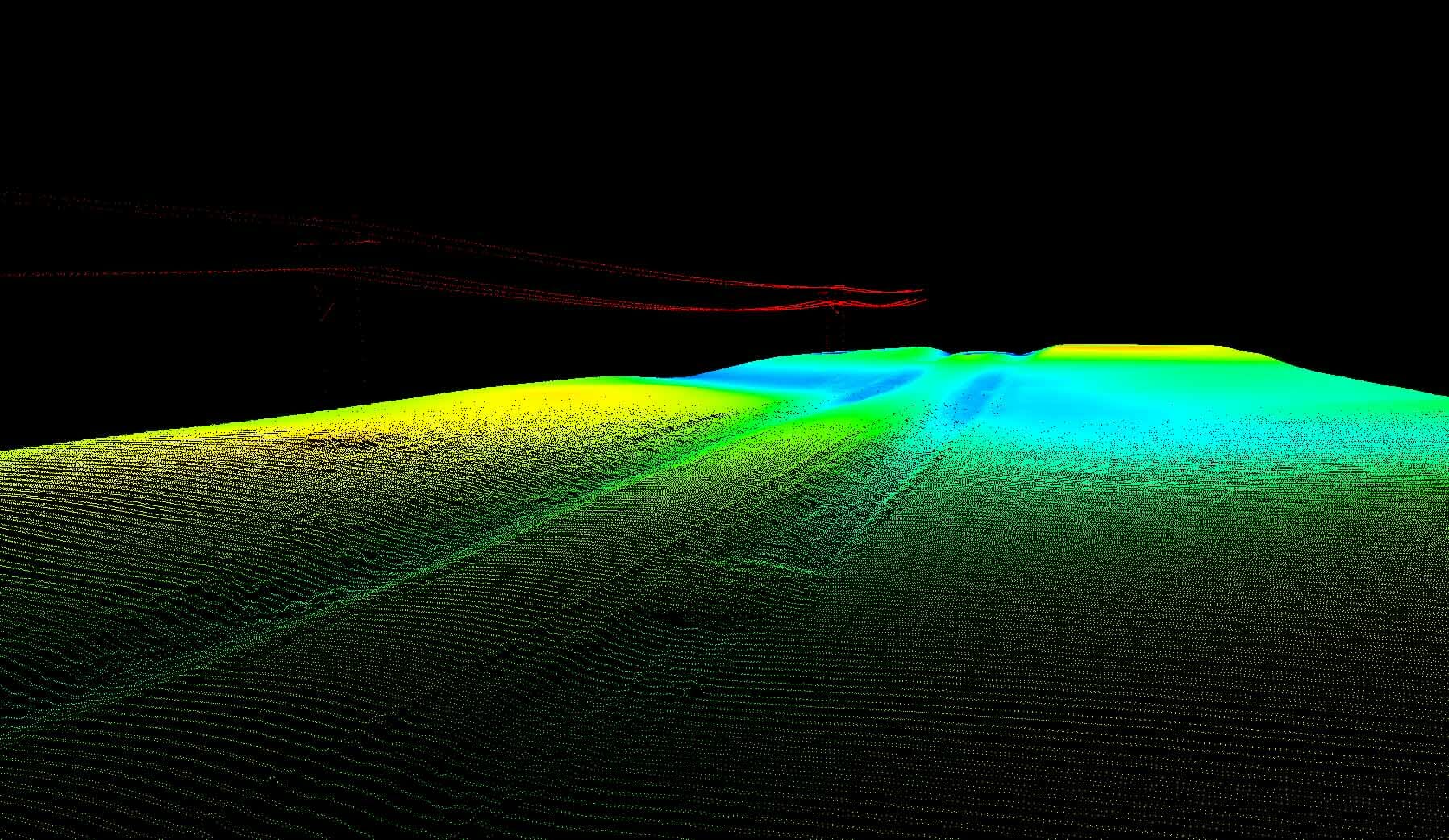
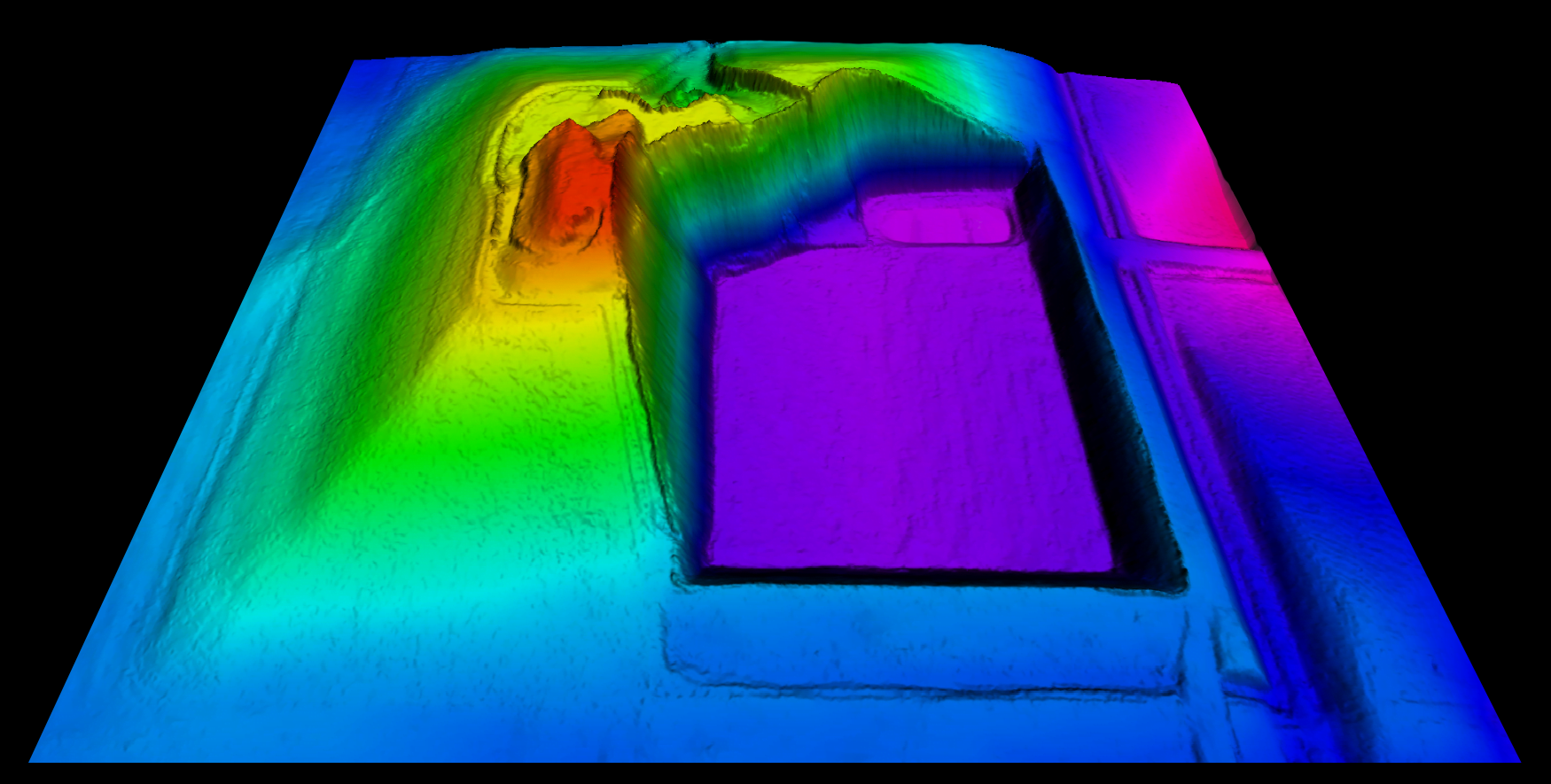
The acquired point cloud can be used to accurately map terrain and provide real world positions of extracted features such as utilities or structures.


Common Lidar Applications
Lidar is used by many agencies and companies for a wide variety of mapping needs.
- Terrain Analysis, DEM, DTM
- Transportation Planning
- Utility Design and Monitoring
- Engineering Applications
- Volumetric Studies
- Obstruction Analysis
- 3D Modeling
- Municipal GIS
- Change Detection
- Land Use Mapping
- Forestry Mapping
- Floodplain Evaluation
- Urban Planning
- Watershed Analysis
- Airport Facilities Survey
- Natural Disaster Assessments
Combining Lidar Data
With Aerial Images
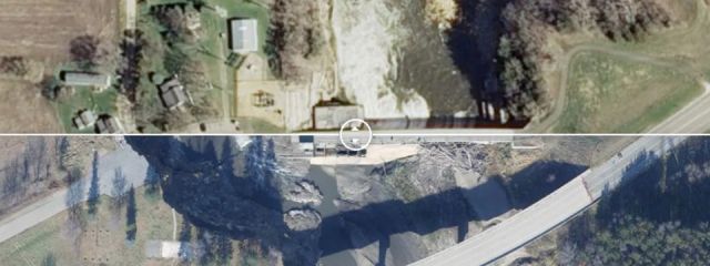
Grab your 3D glasses! If you have both lidar data and high resolution imagery,
95West can combine them into 3D models, and convert the model into 3D images.
