95West Aerial Mapping Takes Flight
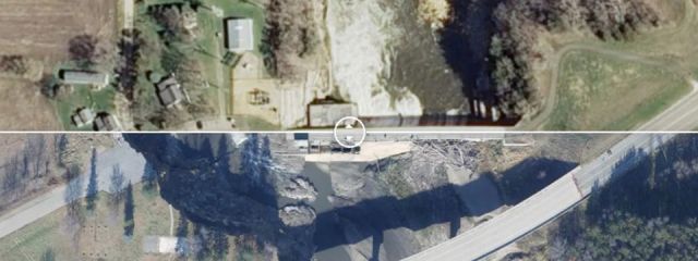
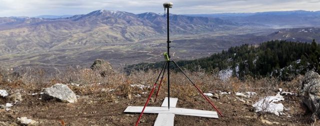
95West provides aerial acquisition and geospatial services throughout the United States and Canada.
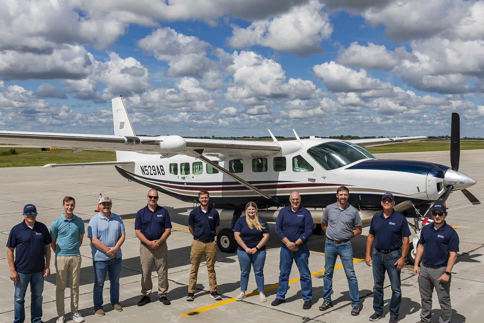
The aerial mapping team has expanded its client reach and added key professionals in leadership, technical, and client service roles. 95West’s expanded capabilities include:
- Our newest fixed-wing aircraft: Cessna 208B Grand Caravan
- New large format camera: Vexcel UltraCam Eagle M3
- New Lidar scanner: RIEGL VQ-1560 II-S
- Simultaneous capture solutions for projects of all sizes

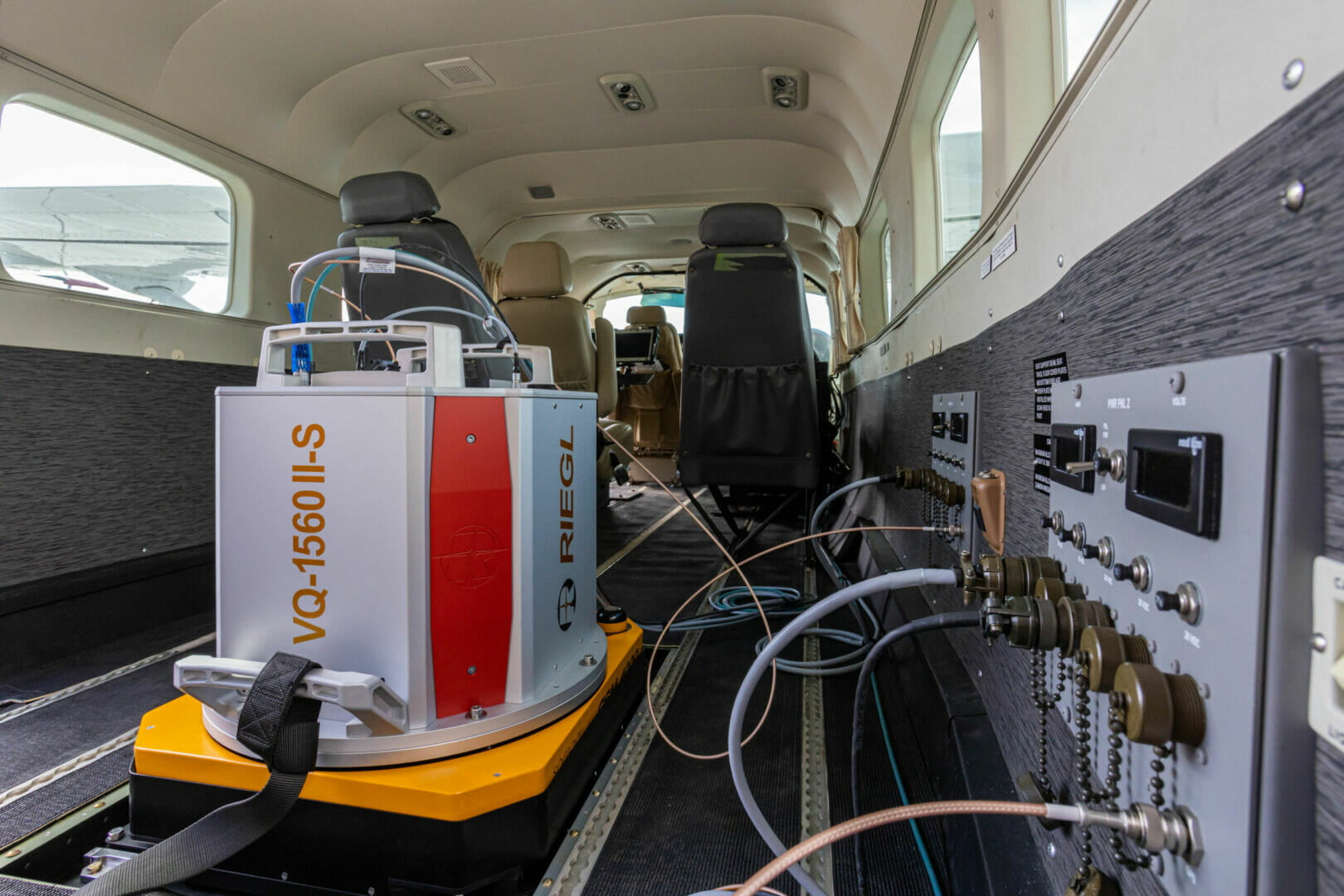


The new bigger and better plane, Lidar sensor, and imaging sensor; the growth of the department under new management; and upgrades to software and hardware gives us a renewed focus with the latest technology in the aerial industry.
What’s in a name?
The name 95West is a nod to the 95th meridian west of the prime meridian, which runs through the heart of 95West’s service area. Meridians are imaginary lines drawn north–south, from pole to pole, with numbering beginning at and advancing east and west from the Prime Meridian. Meridians are expressed as degrees, thus the design element captured by the logo. The colors represent earth and sky, as well as active energy (orange/rust) balanced with calm stability (blue).