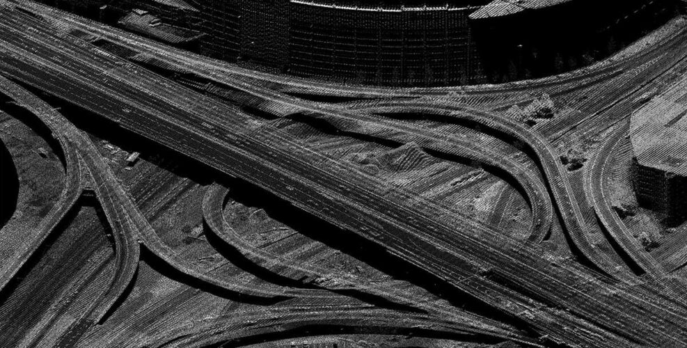
Digital Orthophotography
Digital Orthophotography:
An orthophoto is an aerial photograph that has been geometrically corrected at a uniform map scale where features can be measured to their true distances. At 95 West, our team utilizes the latest camera technology with full 4 band capability. Our large format camera system maximizes coverage during acquisition, minimizing exposure counts and seam design while maintaining image clarity and radiometric consistency.
Our new UltraCam Eagle M3 offers numerous benefits to our clients’ including:
- Accuracy – High resolution imagery and the latest camera technology delivers accurate results
- Imagery Detail – Sub 0.25’ pixel resolution from our 450 mega-pixel large format camera
- Quality – Increased radiometric balance yielding true color appearance
- Efficiency – Ultra large footprint reduces image counts and seam design saving time and money
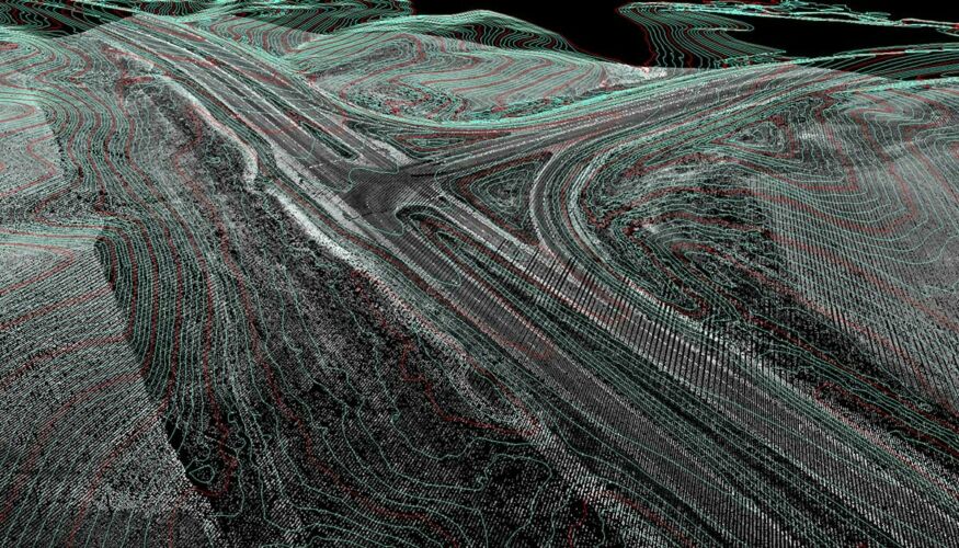
- Simultaneous Collection – Lidar collected concurrently provides accurate terrain data for rectification
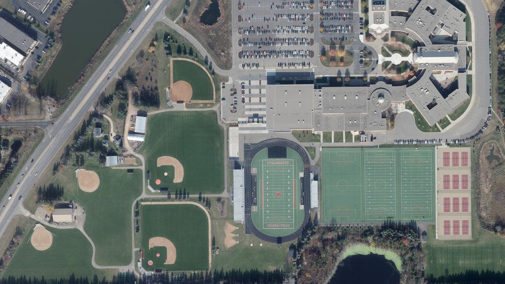
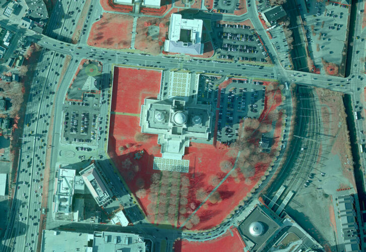
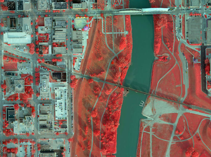
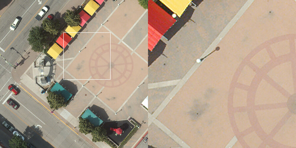
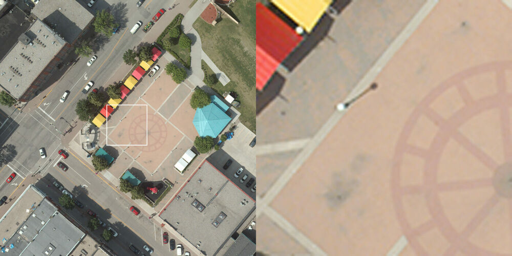
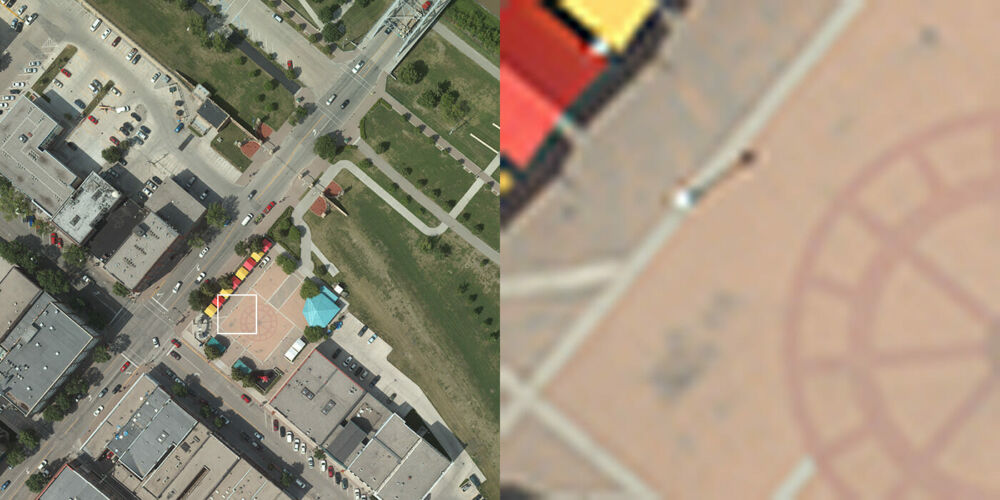
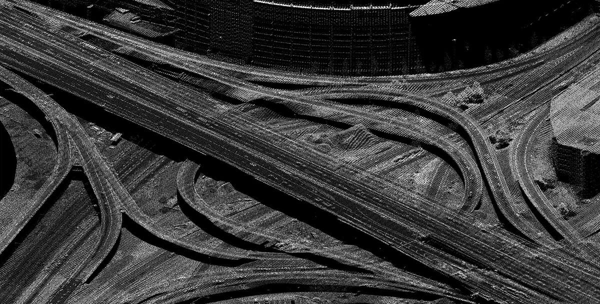
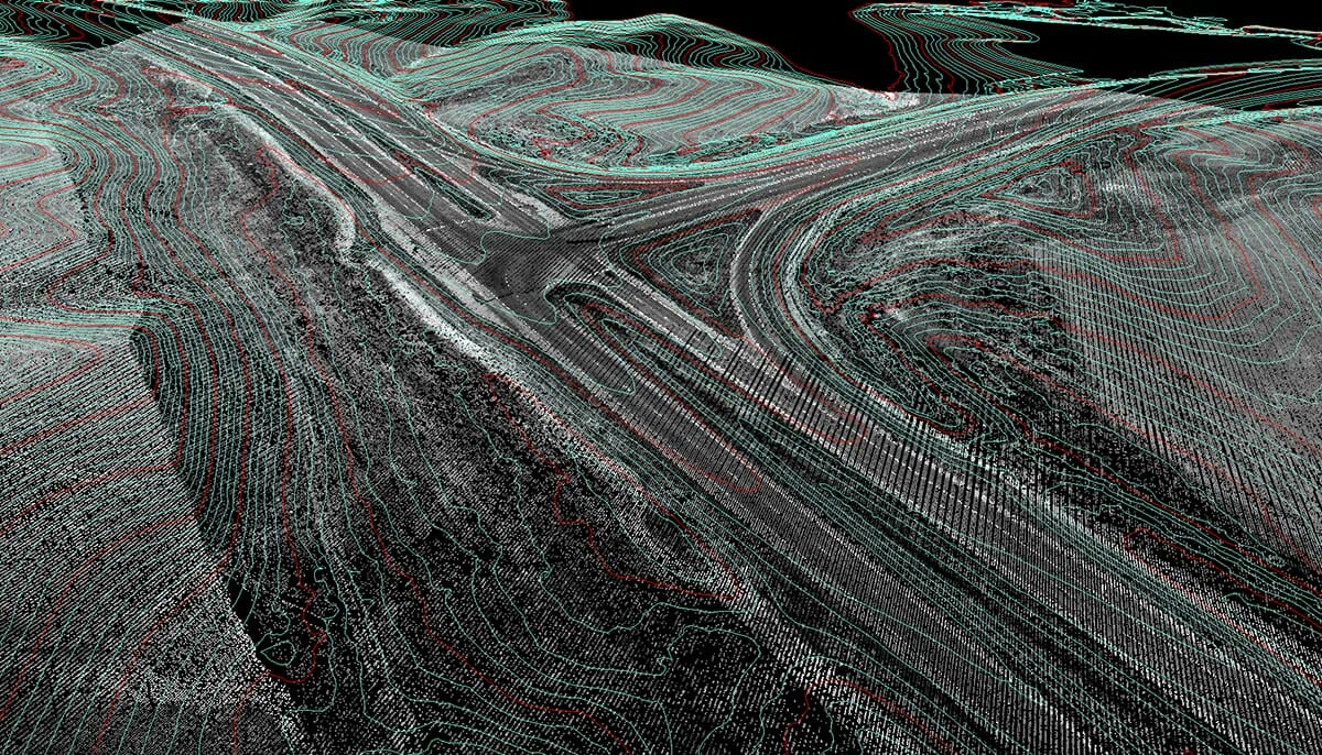
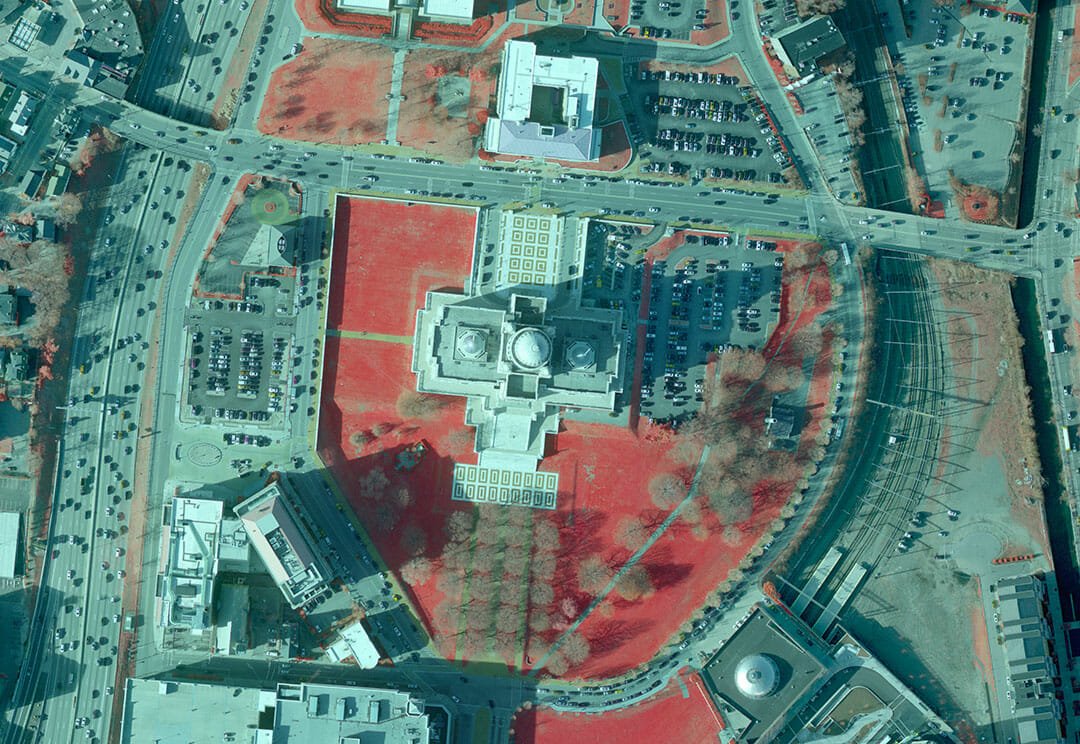
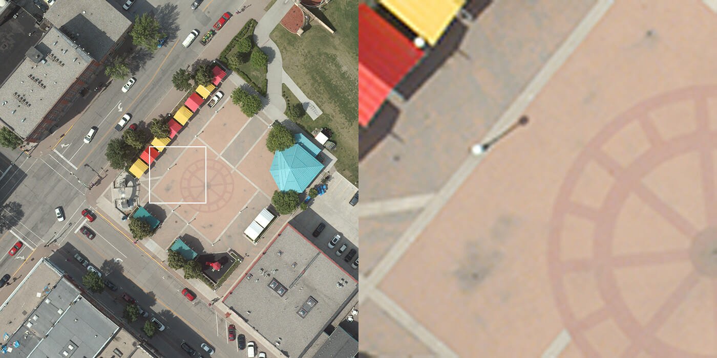
Digital Ortho Samples
Different ground sample distances (GSD) provide varying levels of detail and identifiable features:
- Transportation Infrastructure
- Roadway Markings
- Utilities
- Vegetation
- Hydrography
- Structures
Samples below are at three different levels of detail: 12 Inch (1Ft), 6 Inch (.5Ft), and 3 Inch (.25Ft)


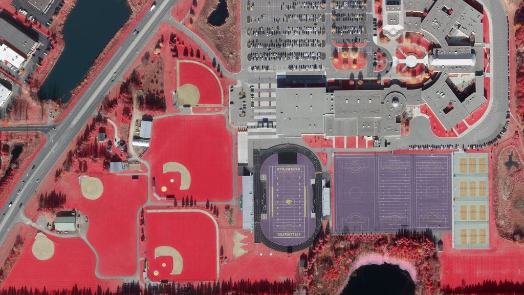
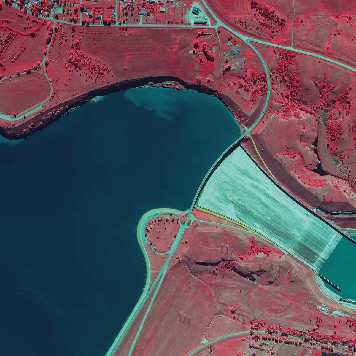
Color-Infrared (CIR) Imagery
CIR captures wavelengths emanating from vegetation, providing a more reliable means of monitoring and analysis. This can be used to assess vegetation health and classification, analyze invasive species, and more.
CIR is also used to analyze soil properties such as permeability, salinity, and erosion. The Normalized Difference Vegetation Index (NDVI) can be derived from digital CIR data, a key indicator in plant analysis, fertilizer and herbicide applications, and yield estimates.
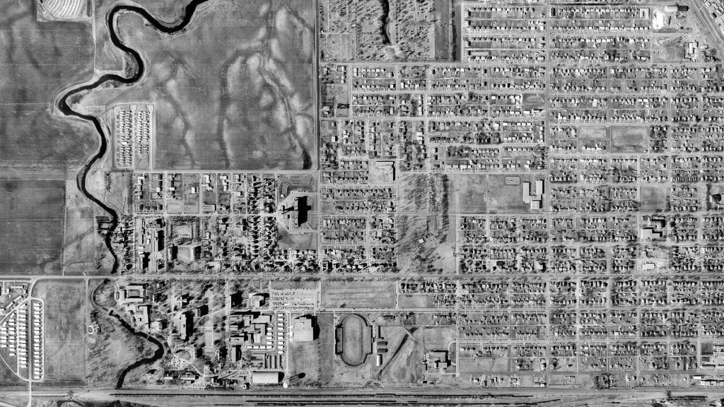
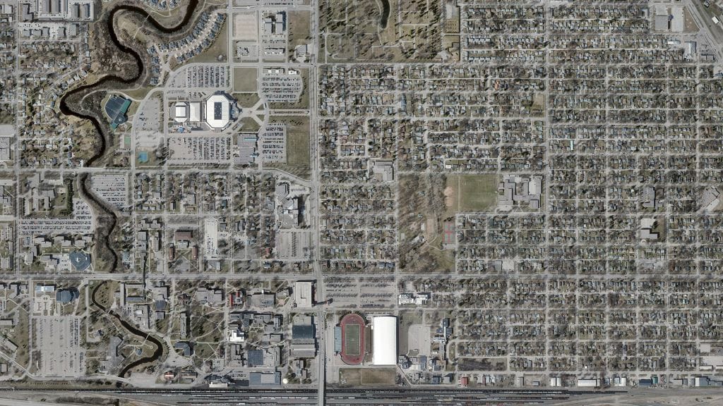
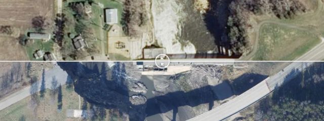
Capture Changes Over Time
Our digital imaging and mapping can help track the changes in a city or landscape over time, before and after natural disasters, or flooding impact on watersheds.
Through these two photos you can see the significant changes that have taken place at the University of North Dakota, and surrounding area, from 1959 – 2018.
