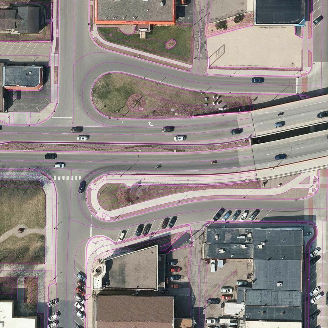
Photogrammetry
Utilizing the latest technology with stereo mapping compilation.
Photogrammetry works like your eyes.
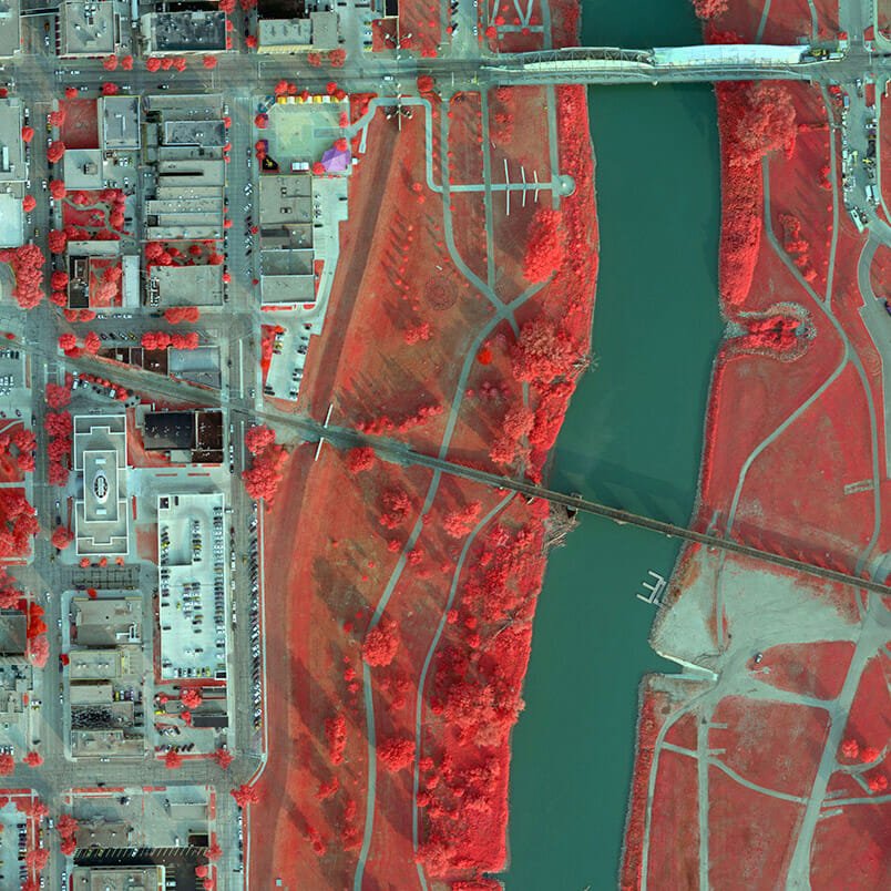
Simultaneous Capture
Our aircraft is equipped with multiple sensors and cameras, allowing for simultaneous collection of data from a single flight.
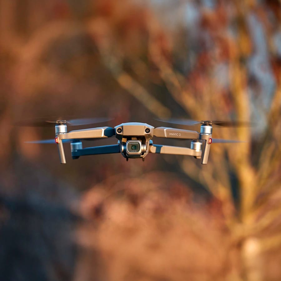
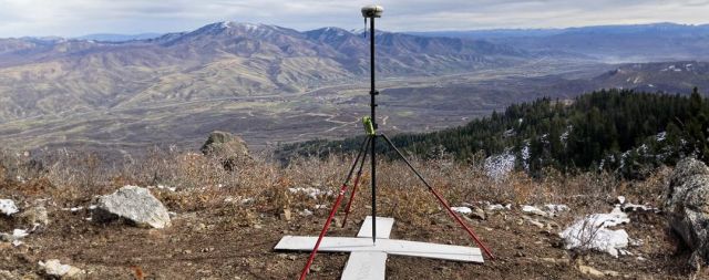
sUAS
Small Unmanned Aerial Systems (sUAS) allow safe, accurate, and cost-effective data collection in areas that are inaccessible to conventional surveying methods.
95West Aerial Mapping is your fixed wing, high resolution imaging specialist.
95West Aerial Mapping’s expanded capabilities and new equipment include:
- Fixed-wing aircraft: Cessna 208B Grand Caravan
- Large format camera: Vexcel UltraCam Eagle M3
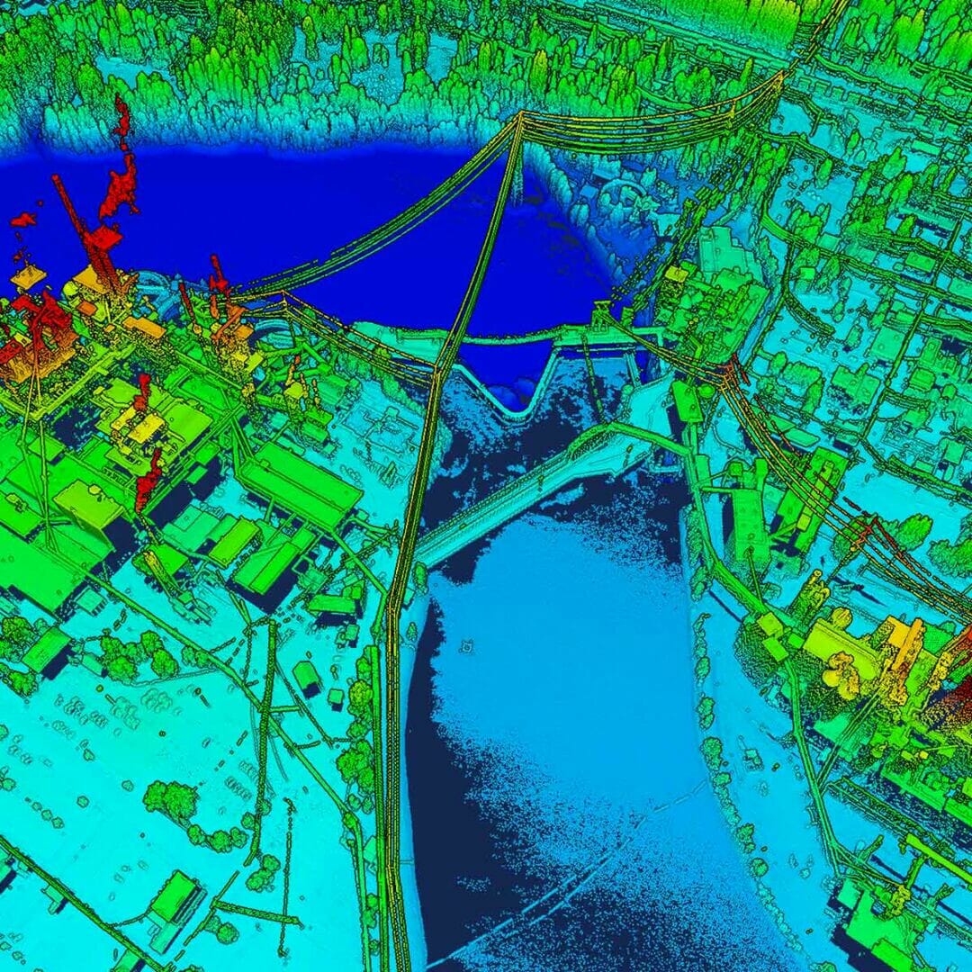
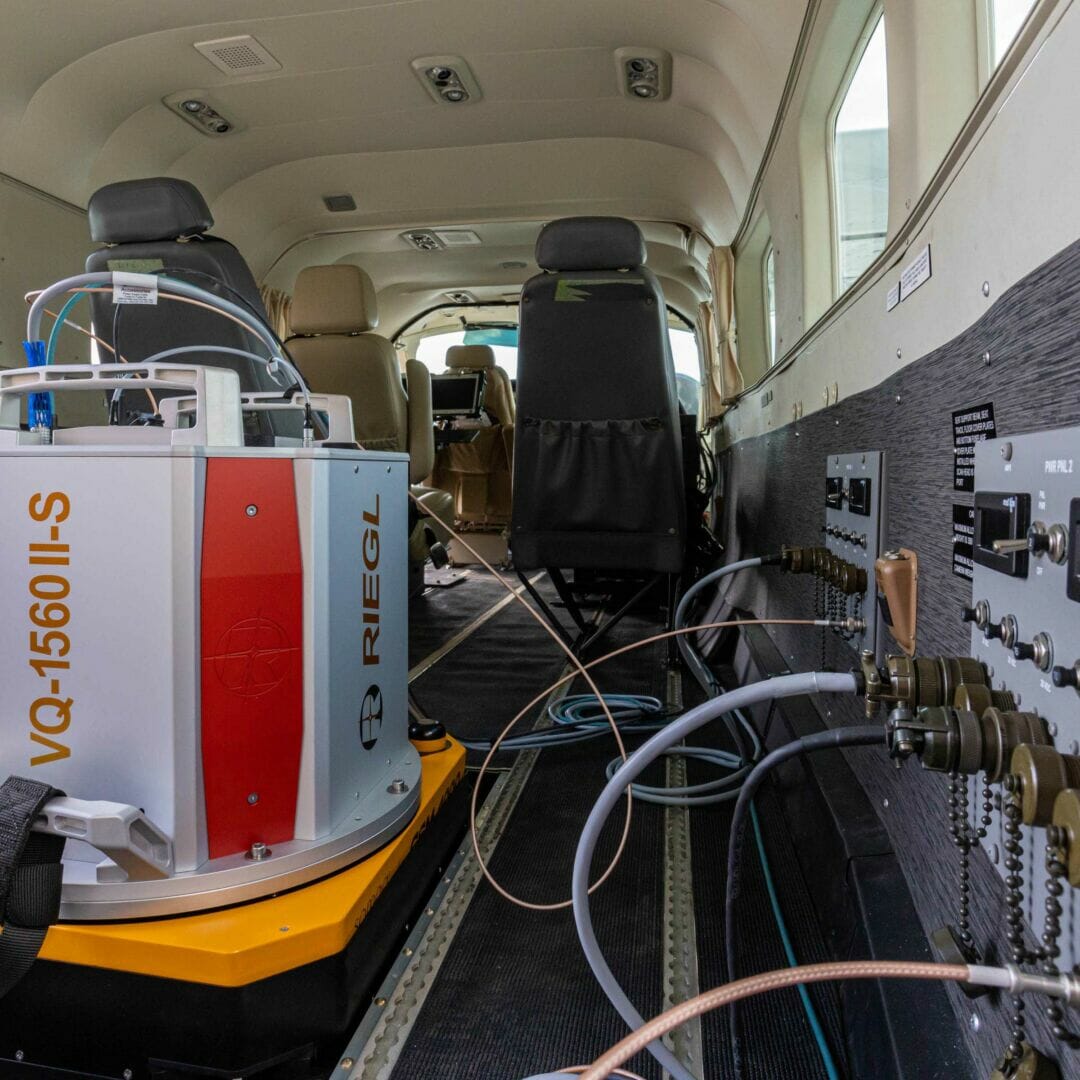
- Lidar scanner: RIEGL VQ-1560 II-S
- Simultaneous capture solutions for projects of all sizes
")
Higher resolution than existing imagery
95West Aerial Mapping’s Vexcel UltraCam Eagle M3 features:
- Four-band images
- 26,460 pixels wide
- One frame per 1.5 seconds