Want to join the 95West Aerial Mapping team?
Check out our openings, find the right opportunity for you, and start the next chapter of your career today.
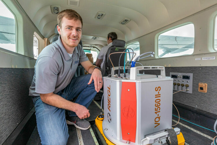
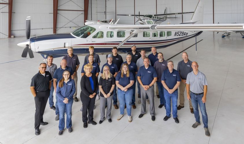
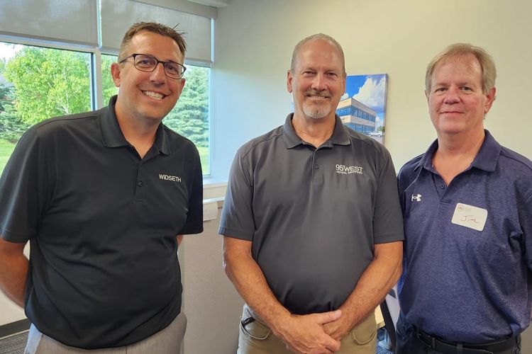
95West Aerial Mapping, LLC is a wholly owned subsidiary of Widseth.
95West Aerial Mapping, LLC is a wholly owned subsidiary of Widseth.


