Small Unmanned Aerial Systems (sUAS)
sUAS
Small Unmanned Aerial Systems (sUAS) allow safe, accurate, and cost-effective data collection in areas that are inaccessible to conventional surveying methods. sUAS provide an affordable and efficient data collection platform that can be deployed to support a wide variety of geospatial solutions.
sUAS Applications
- 3D Perspective Analysis and Modeling
- Orthorectified Digital Imagery
- Construction/Site Monitoring
- Contour Mapping
- Corridor/Route Studies
- Dense Point Cloud Data Set
- Digital Surface and Elevation Models (DSM / DEM), plus Derivative
- Geospatial Products (ex. TINs)
- Floodplain Mapping
- Hazard Detection/Site Mapping
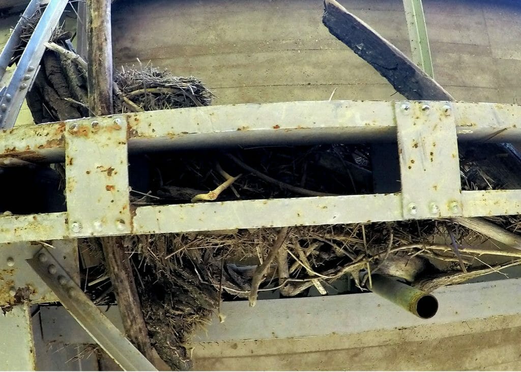
- Infrastructure Inspection (Buildings, Pipelines, Electrical Structures, Bridges, Dams, Windmills, Etc.)
- Oblique Photography
- Shoreline Analysis
- Slope Analysis
- Topography (Elevation Contours)
- Various Agricultural Applications
- Vegetation Mapping
- Visual Line of Sight Observations
- Volumetric Survey and Analysis
3D Modeling
Interactive 3D models allow the customer to envision their project, analyze changes, and communicate designs. sUAS help by collecting real world façade design from new perspectives, generating accurate dimensions, and integrating new and old construction.
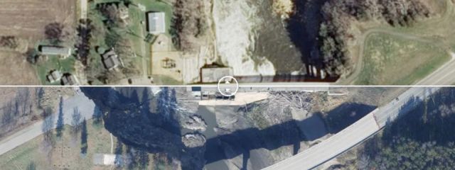
Conventional Topo vs UAS Point Cloud
Photogrammetric point clouds and point clouds from lidar contain more data than a conventional survey. The following image shows a conventional topo completed by a surveyor with a GPS rod (182 points) to a point cloud generated from photos taken with a sUAS (131,164 points). When used to generate a surface model or calculate volumes the extra detail provides a more detailed and precise data set.
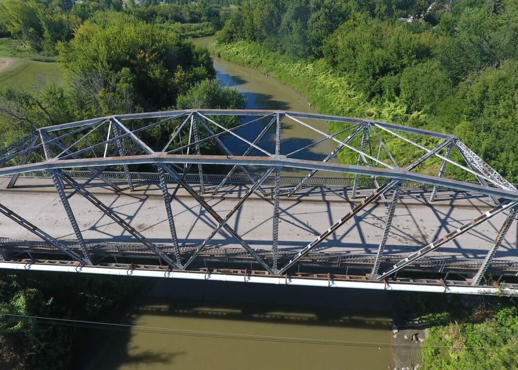
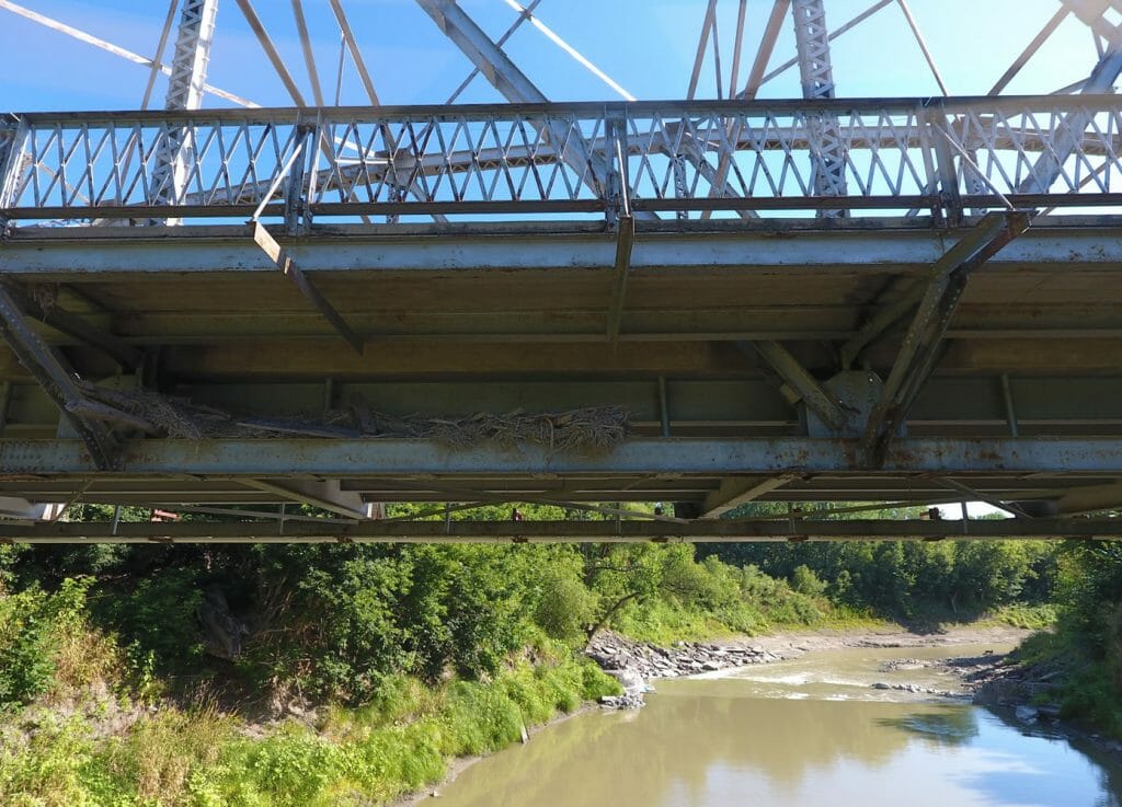
Bridge Inspection
We use sUAS technology to supplement our bridge inspection services.


