Simultaneous Capture
95West is pioneering simultaneous large-format imagery and high-density lidar collection
Simultaneous Collection
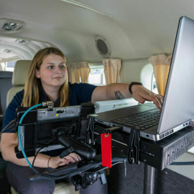
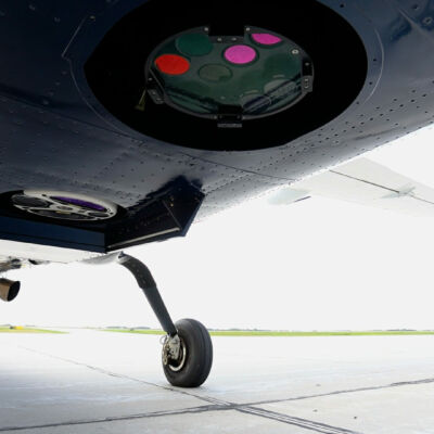
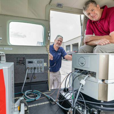
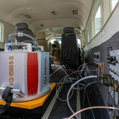
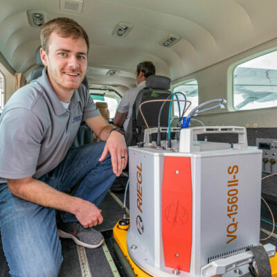
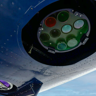
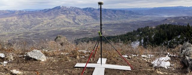
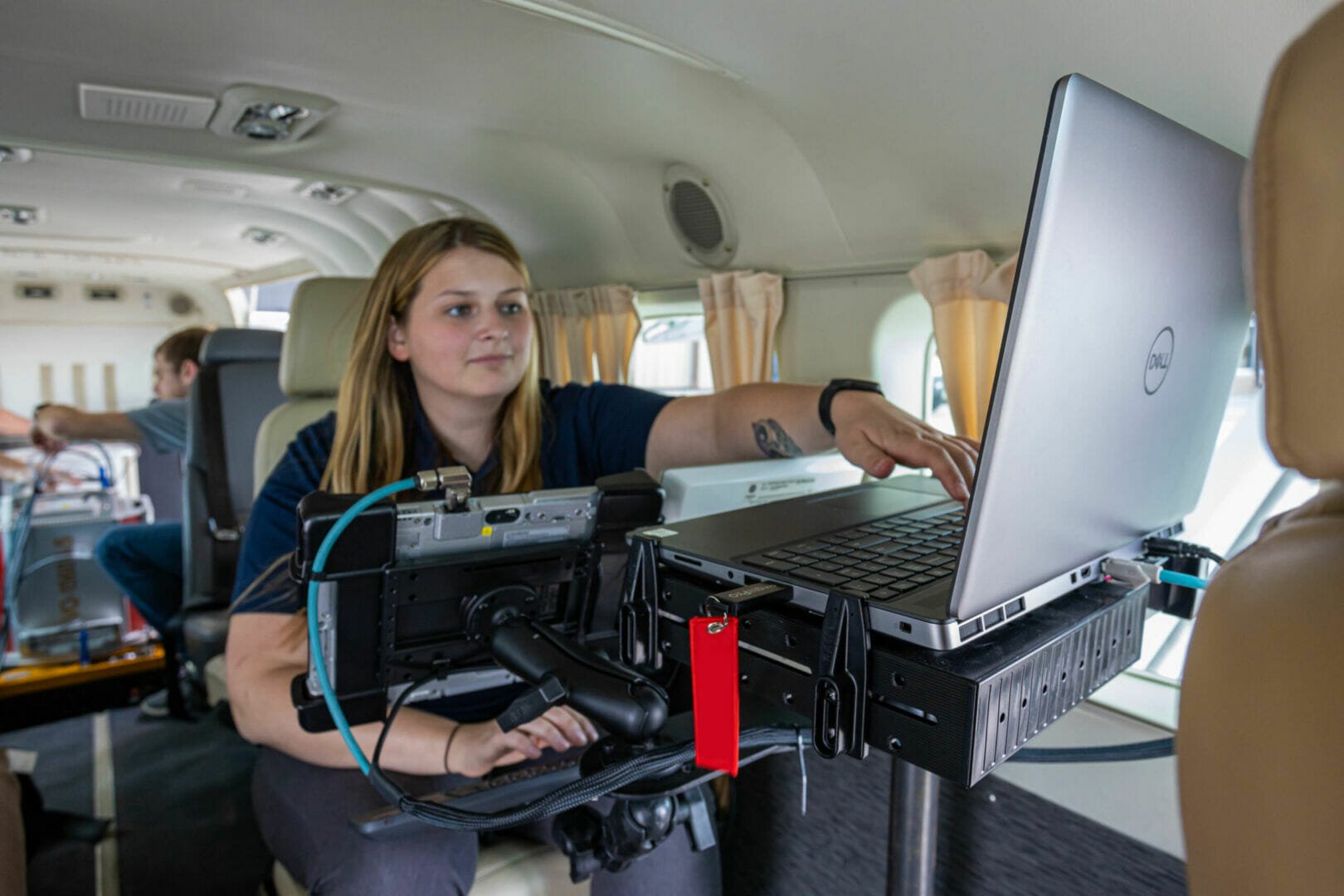
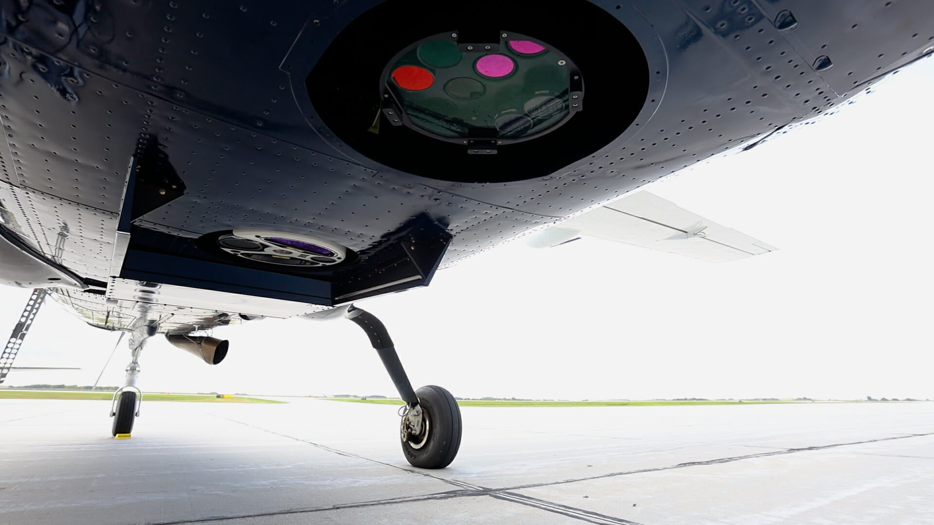
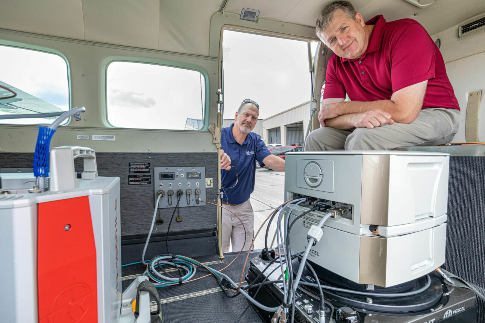
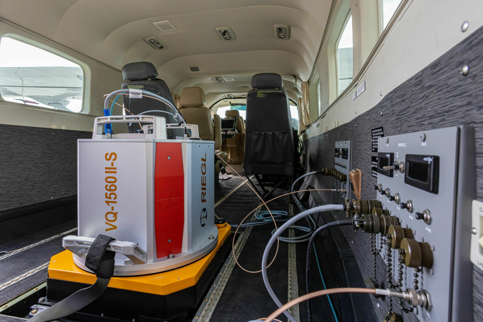
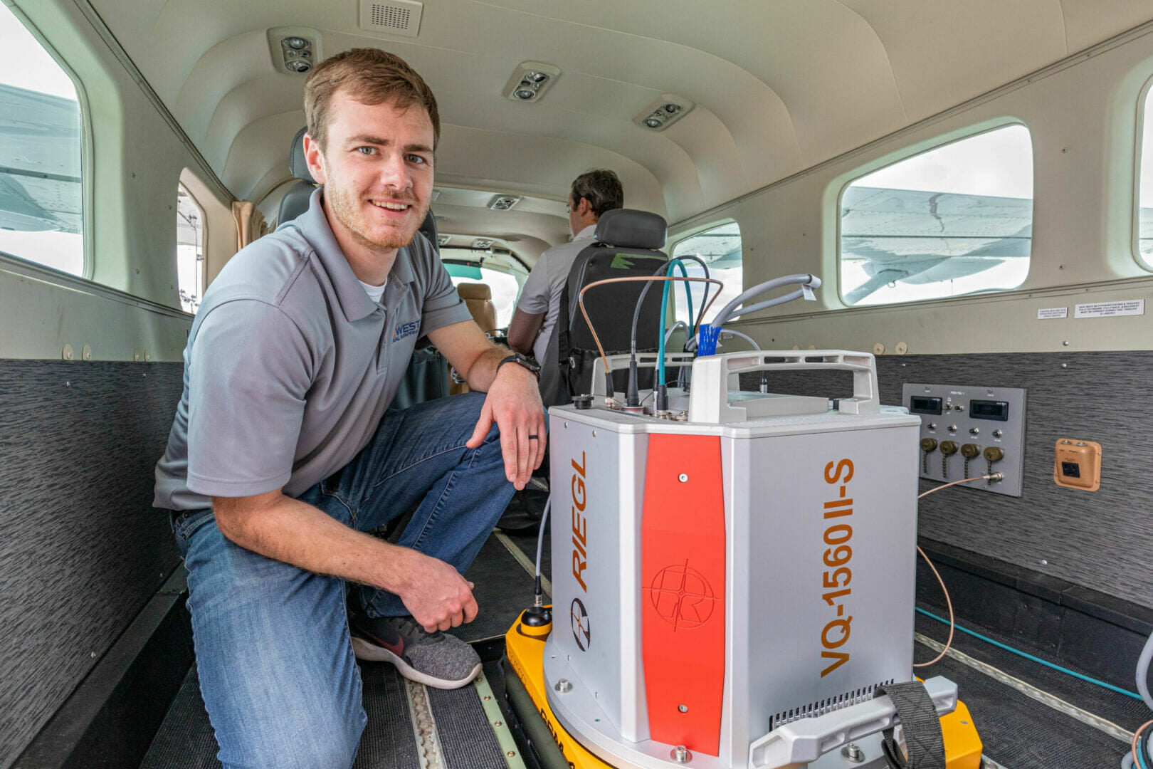
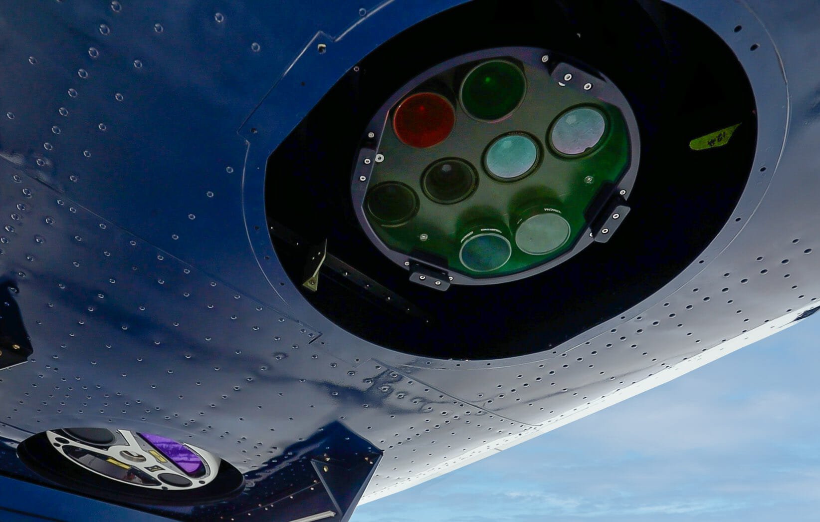
At 95West Aerial Mapping we have revolutionized simultaneous collection with the recent acquisition of two state-of-the-art sensors and a new aircraft. Operating a Cessna Caravan equipped with a Vexcel UltraCam Eagle M3 and a Riegl VQ-1560 II-S
Benefits of simultaneous large-format collection include:
- Coincident datasets
- Single mobilization expense
- More efficient acquisition
- Larger image footprints and swath widths
- Increased detail and precision
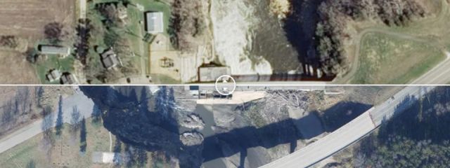
- Data versatility
- Current terrain data for orthorectification
95 West has been performing simultaneous collection for many years, operating a Leica ALS 70 with an integrated RCD30 medium format camera. Our most recent equipment upgrade only expands on our ability to service clients from all disciplines with quality and efficiency.