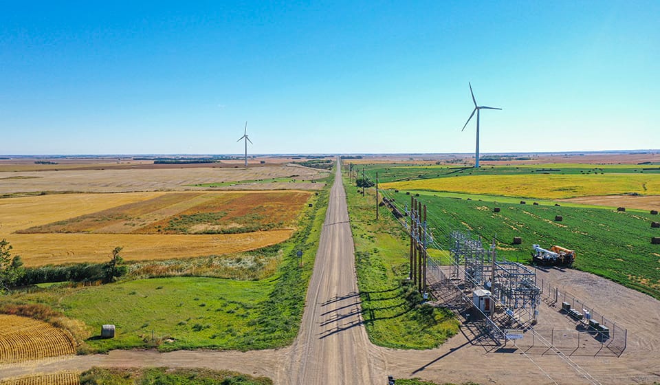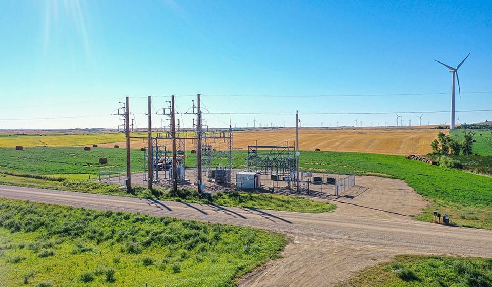

Renewable Energy Infrastructure
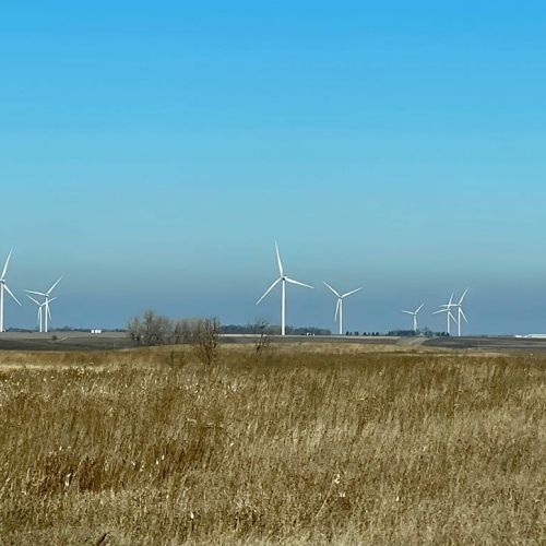
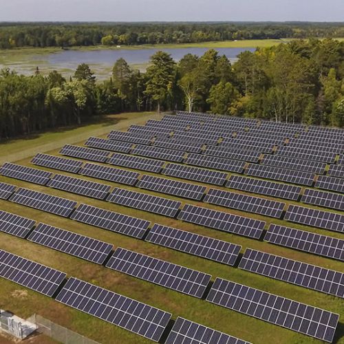
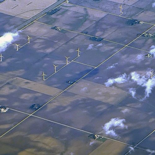
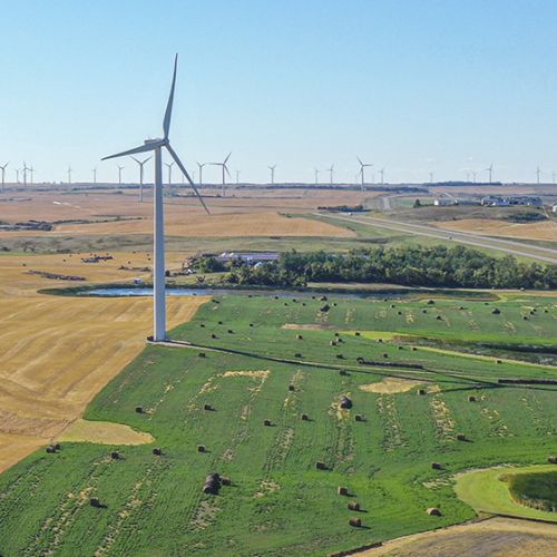
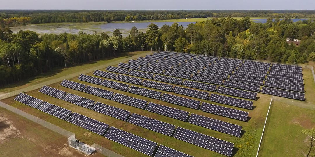
Whether you’re developing a commercial solar project, expanding wind energy infrastructure, or managing renewable energy assets, 95West Aerial Mapping provides the geospatial data needed to make informed decisions throughout the project lifecycle.
Aerial Acquisition for Renewable Energy Design, Development, and Maintenance
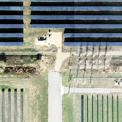
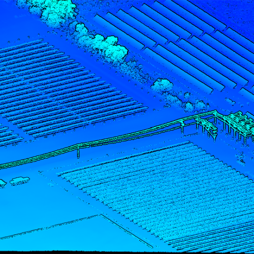
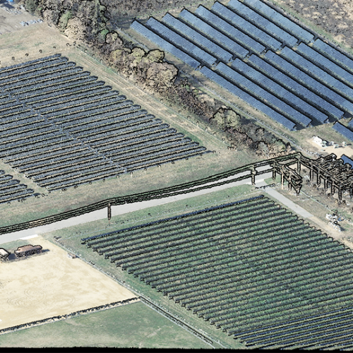
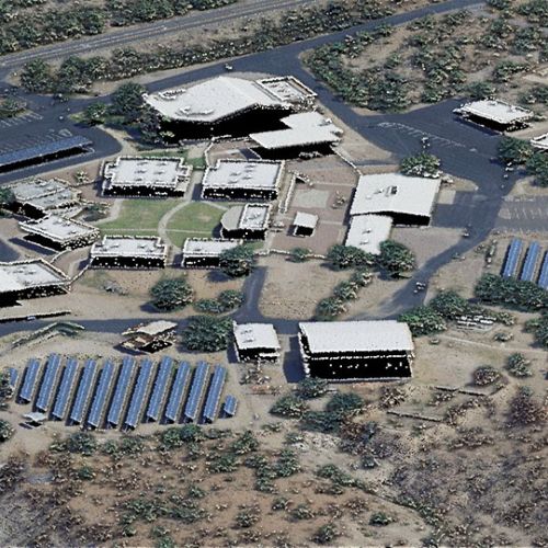
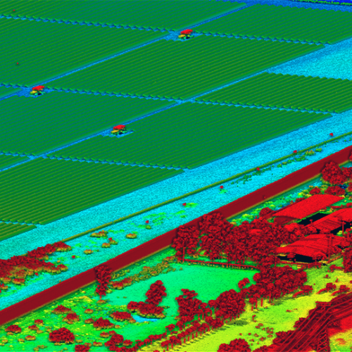
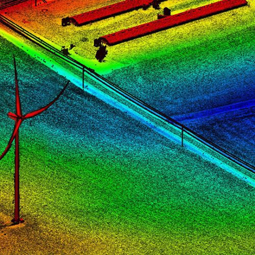
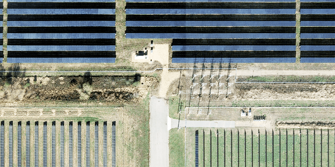
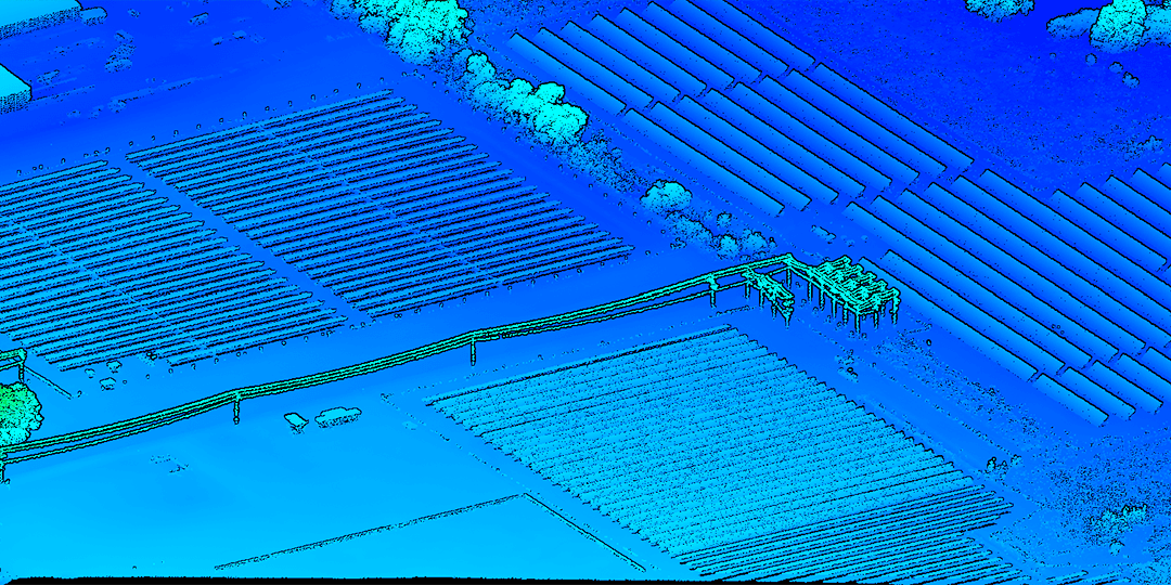
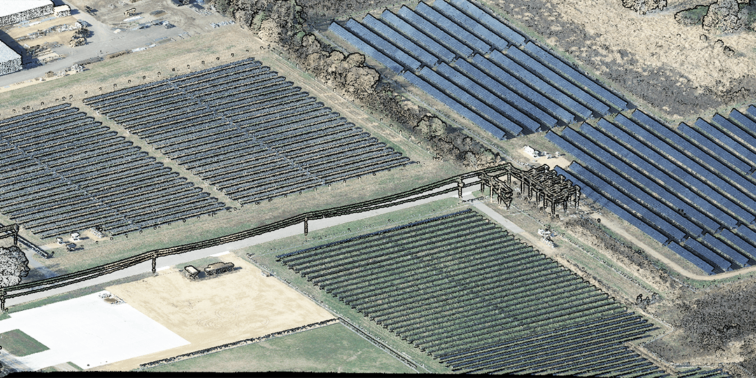
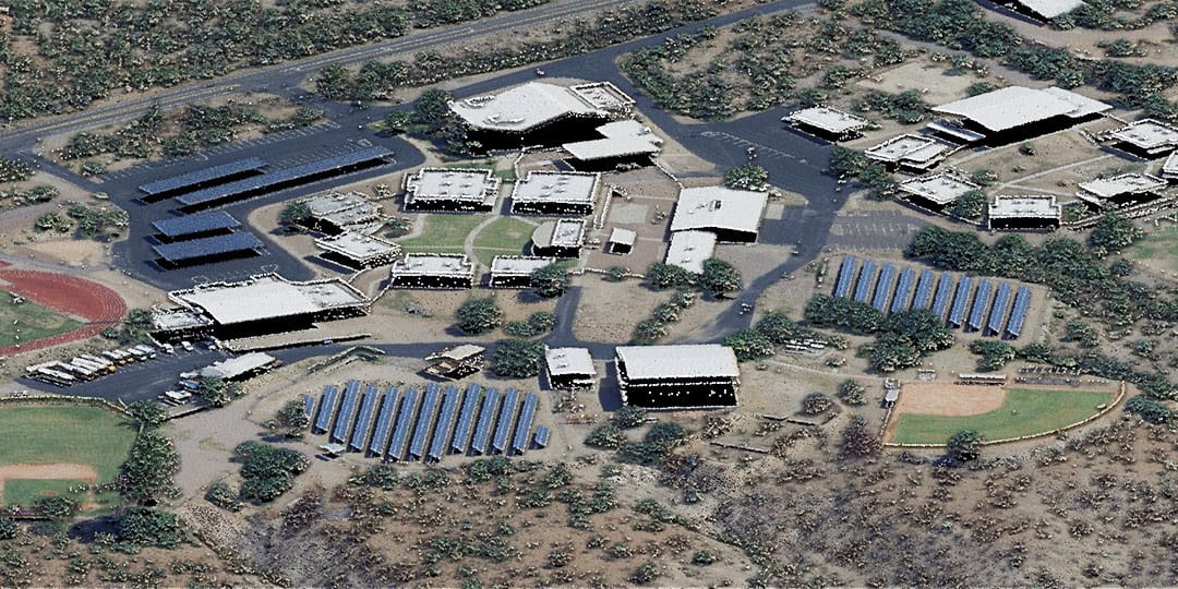
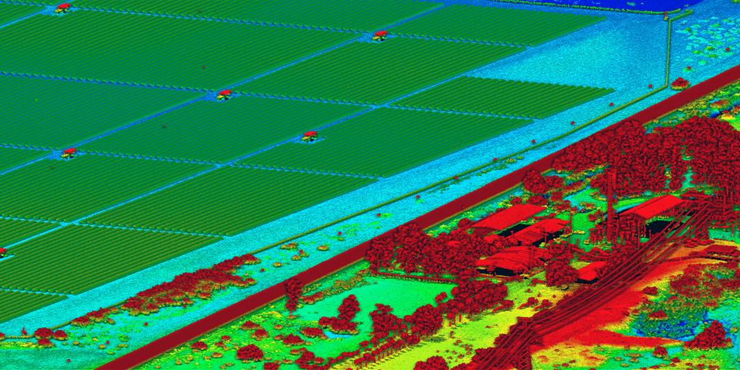
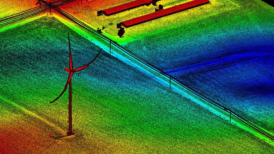
Our team delivers high-density lidar, high-resolution aerial imagery, and advanced geospatial products that support site selection, engineering design, permitting, construction, and long-term asset management. By capturing detailed terrain, vegetation, and infrastructure data in a single flight, we help renewable energy developers reduce costs, streamline workflows, and keep projects on schedule.
Renewable Energy Mapping Services:
- Site suitability and feasibility analysis
- Topographic mapping and terrain modeling
- High-density lidar acquisition
- High-resolution aerial imagery
- Vegetation encroachment analysis
- Solar access assessments
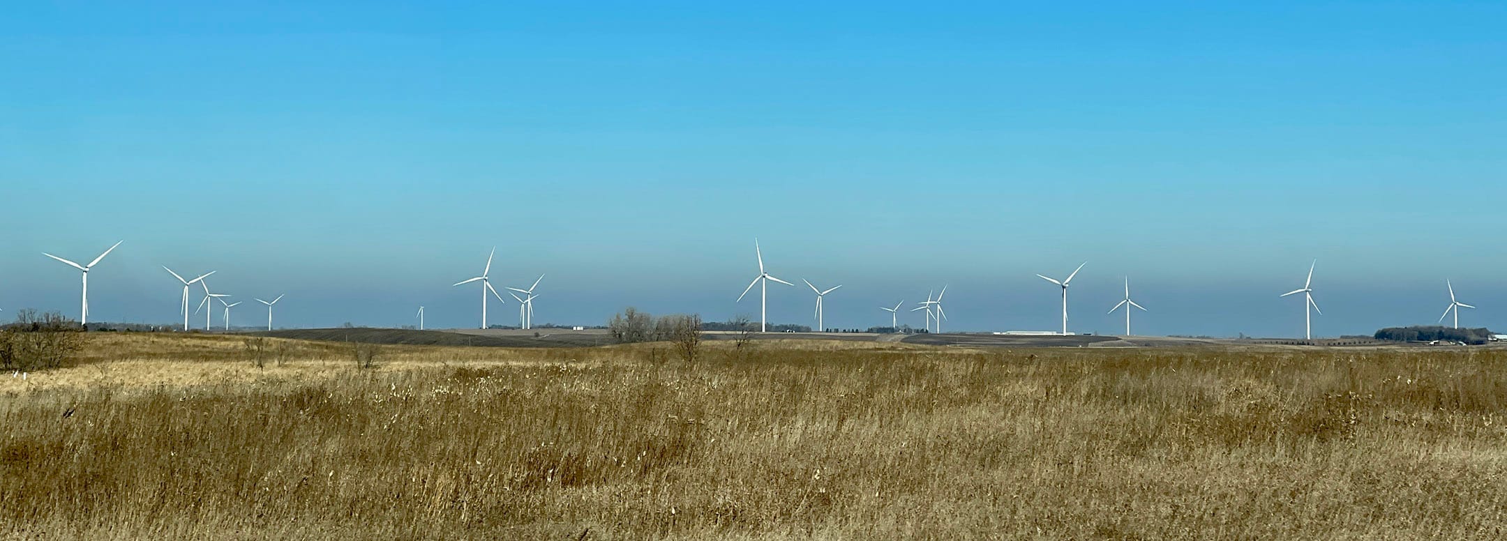
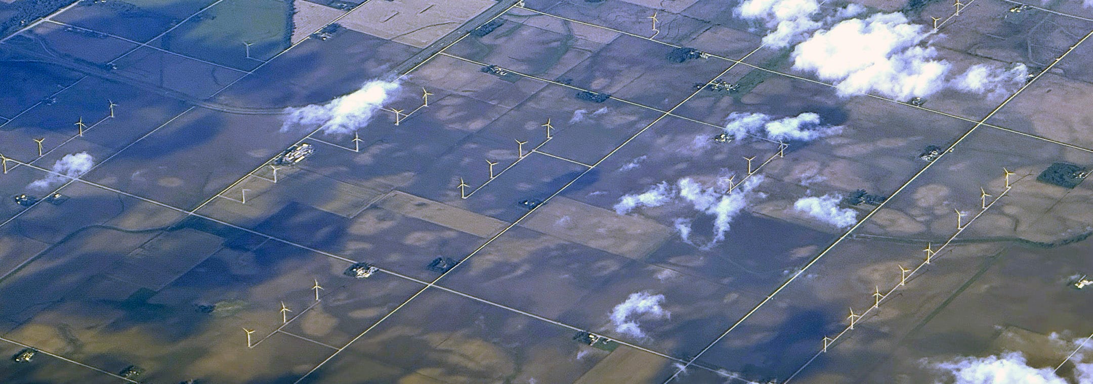
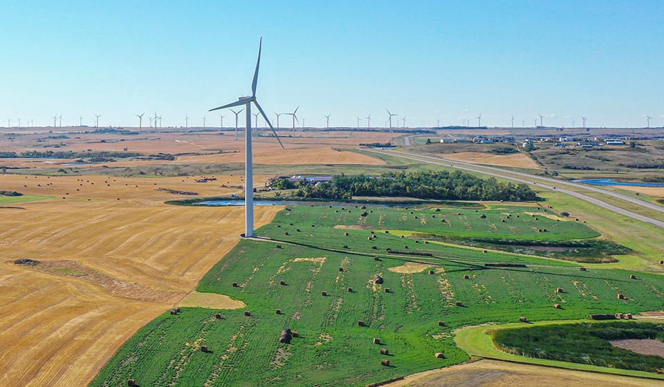
- Wind farm planning support
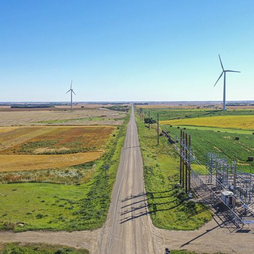
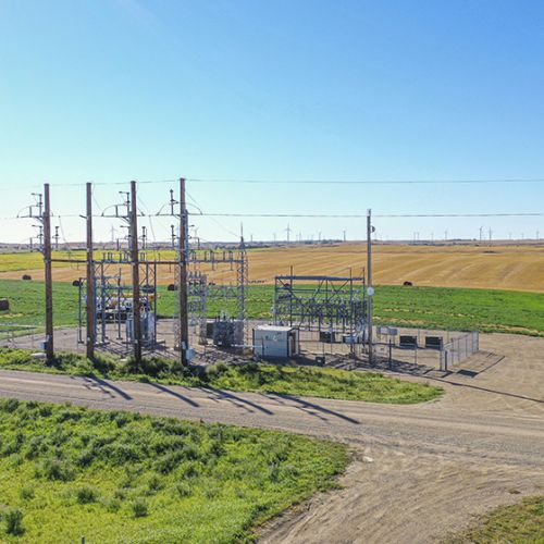
- Transmission corridor mapping
- Construction monitoring
- Asset management and maintenance planning
Why Renewable Energy Developers Choose 95West
- Single-flight Lidar and imagery acquisition
- Faster data collection and project delivery
- Reduced field survey requirements
- Accurate data for engineering and design
- Improved planning and risk management
- Cost-effective mapping solutions for large project areas