

At 95West, we’re passionate about turning geospatial data into actionable solutions, and we’re excited to share that passion at the Minnesota GIS/LIS Consortium Conference in Duluth. The conference brings together GIS, mapping, surveying, engineering, utility, government, and geospatial professionals from across Minnesota and the Upper Midwest to explore the latest technologies, projects, and trends shaping the industry.
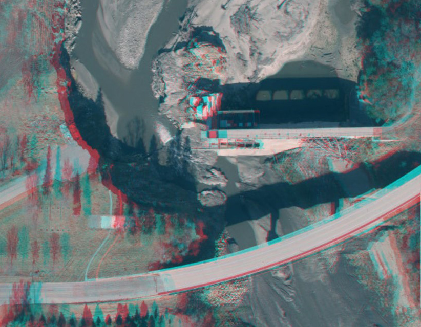
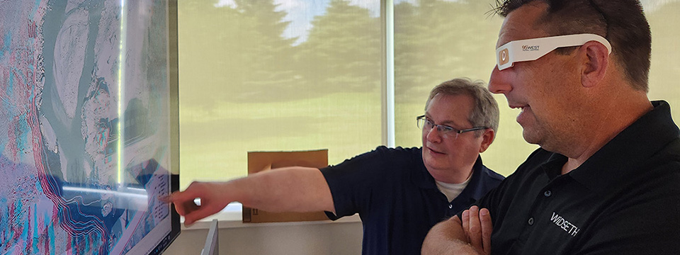
We’ll be showcasing interactive 3D maps complete with retro 3D glasses, giving you a unique way to experience aerial imagery and mapping data. Whether you’re planning infrastructure improvements, managing assets, or supporting community development, our aerial mapping and data processing specialists would love to discuss how we can help bring your next project to life.