Recently, 95West Aerial Mapping’s Aerial Services Manager Miles Strain, CP, RPP, and VP, hosted a presentation on ground asset identification for the 2025 MnDOT Survey Technical Conference.
Miles highlighted the innovative techniques and state-of-the-art equipment that 95West employs to deliver precise and efficient mapping solutions and best practices for combining aerial acquisition with ground surveying partners on projects.
The use of advanced Lidar processing technology and meticulous survey methods ensures high data accuracy. When 95West’s technical team’s calibrated data is matched with well surveyed ground control data, they can perform detailed ground classification with some manual edits to provide clients with precise and reliable mapping data.
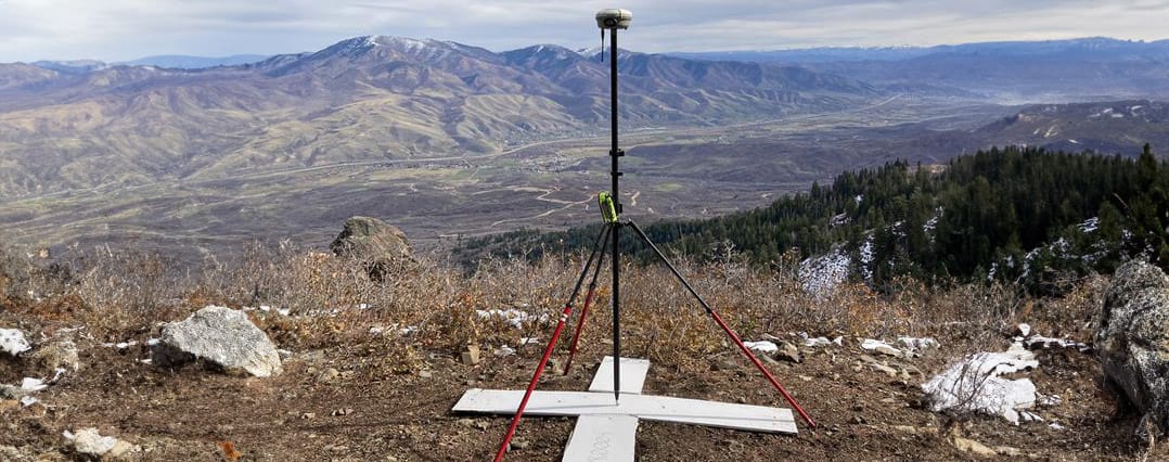
When survey ground targets are not well set up or placed, or when the wrong target types are employed, it is difficult to integrate data collected from the aircraft the with the ground-truthing data from land surveyors.
Typical issues that make it hard to identify or precisely locate include:
1. Fabric targets blow away or move
2. Poor contrast with background landscape
3. Interference from trees or other landscaping
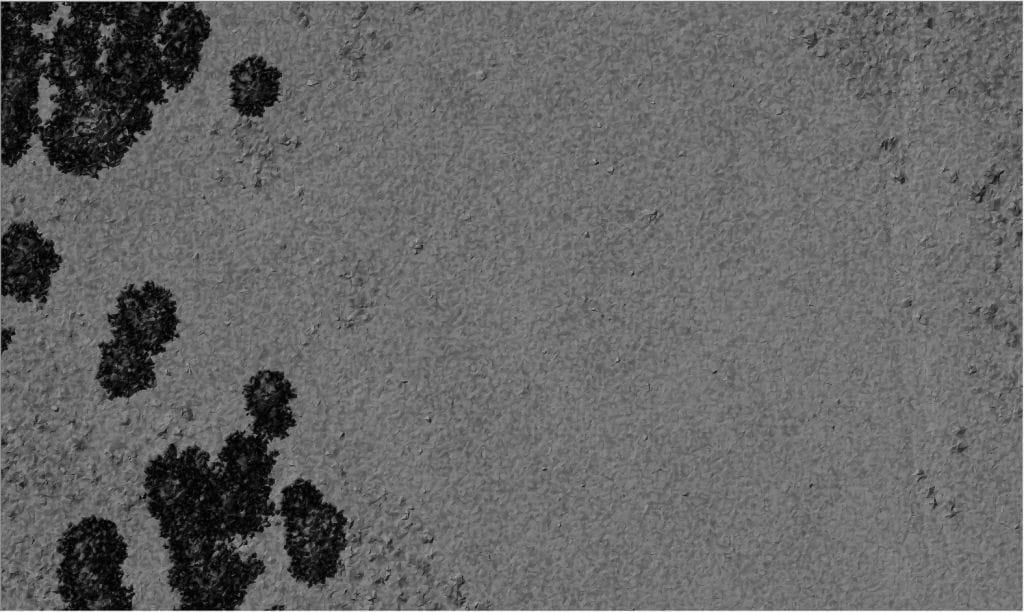
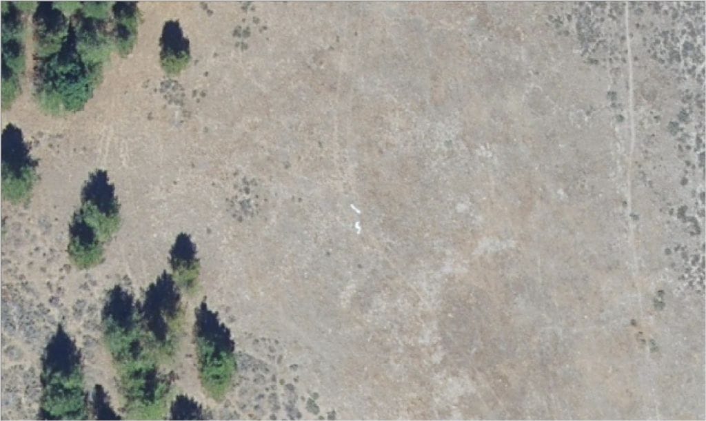
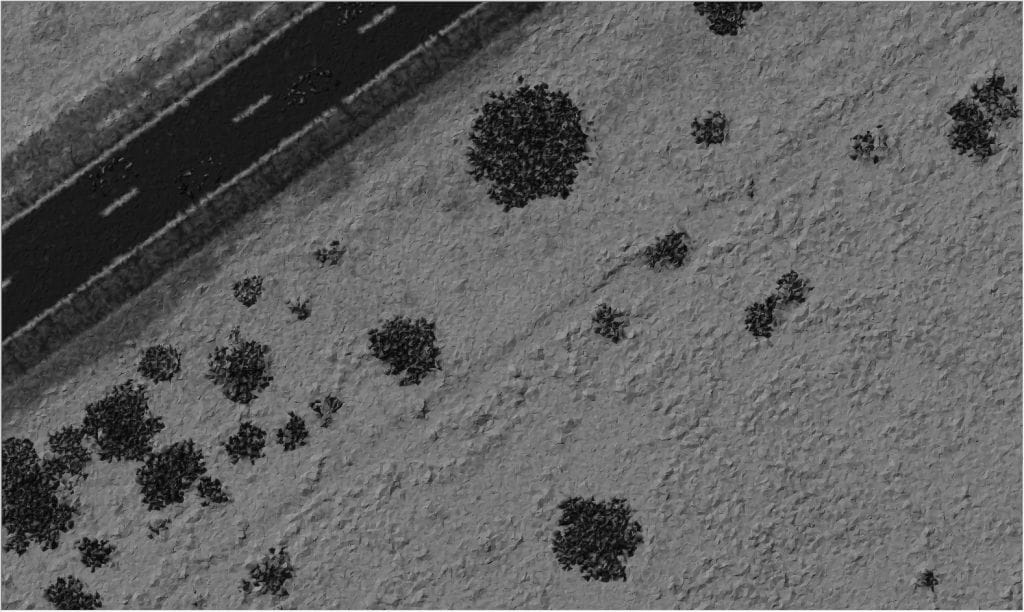
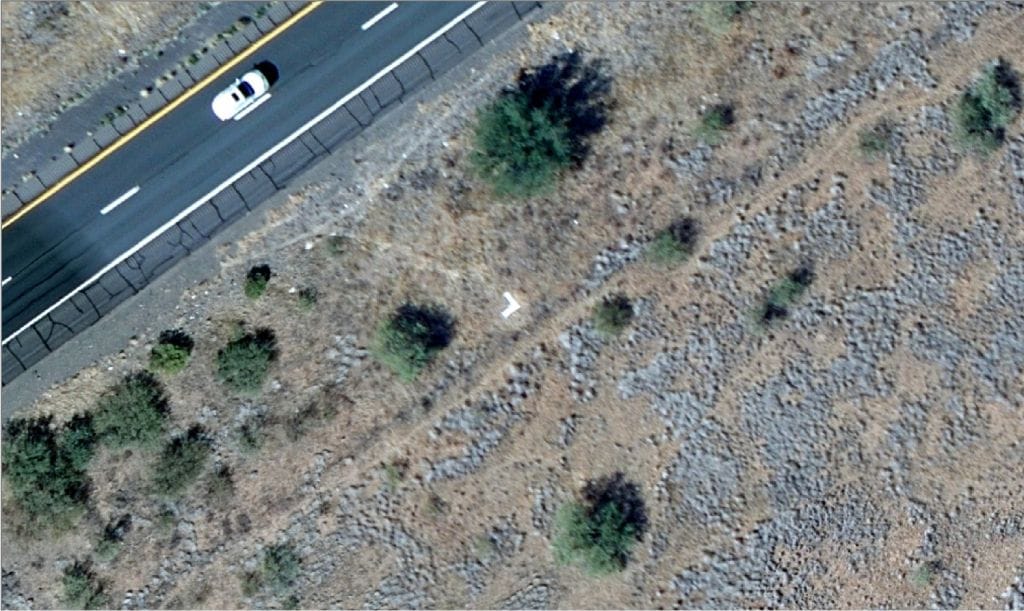
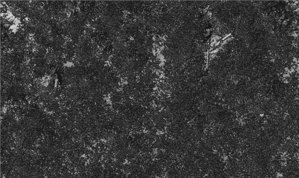
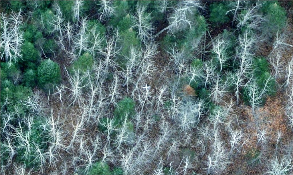
Planning between the aerial and ground teams is key to efficient and accurate mapping projects. Other details that need to be communicated and coordinated include:
4. Targeting locations for improved visibility
5. Targeting materials and techniques to provide visual background contrast
6. Placement of targets on different types of landscapes or weather conditions
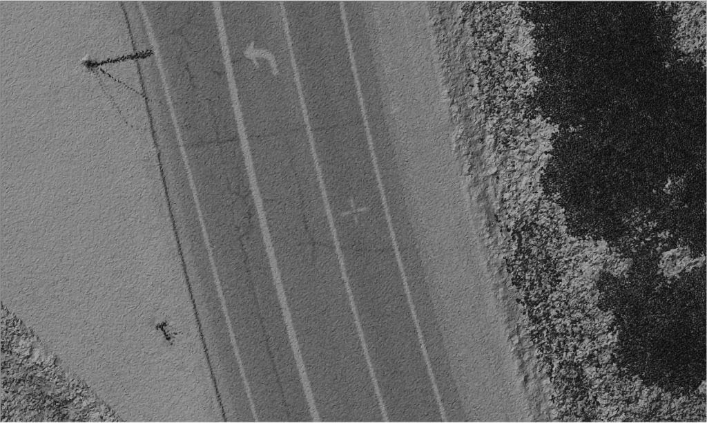
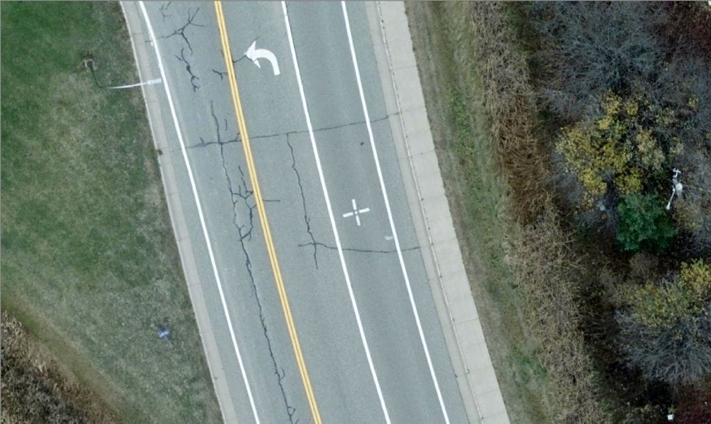
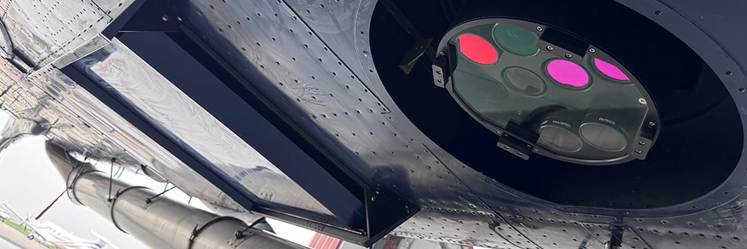
When all these targeting conditions are well coordinated with field surveyors, 95West’s simultaneous collection of Lidar and high-resolution imagery can be processed to deliver accurate terrain mapping and rectified imagery over large survey areas in a single flight deployment that would take days or weeks for land surveyors to complete in the field. 95West ensures ultra-wide area coverage and high point density, capturing more data in less time with fewer flight lines.
For more information on our professional staff, equipment, and mapping solutions, please use the Contact Us page on our website .

