Government
Government Solutions
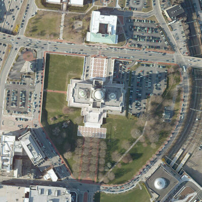
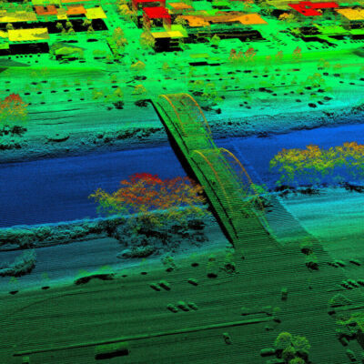
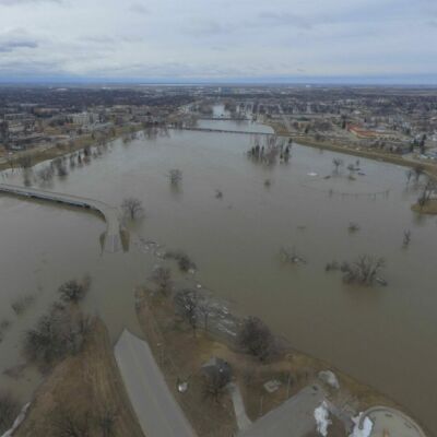
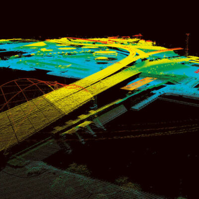
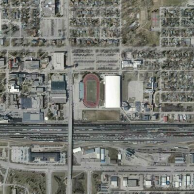
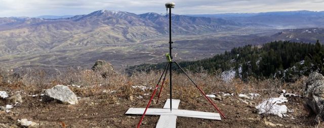
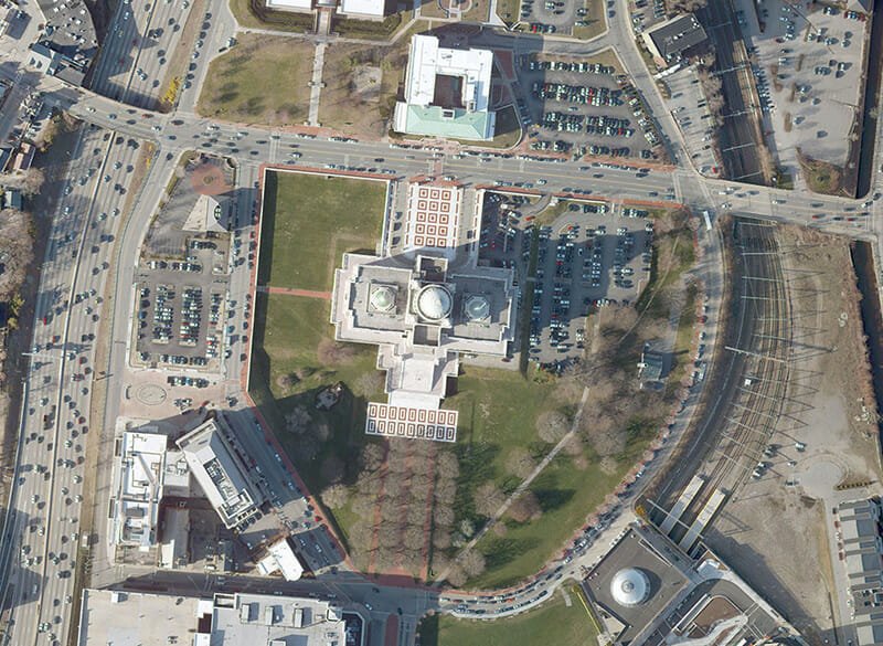
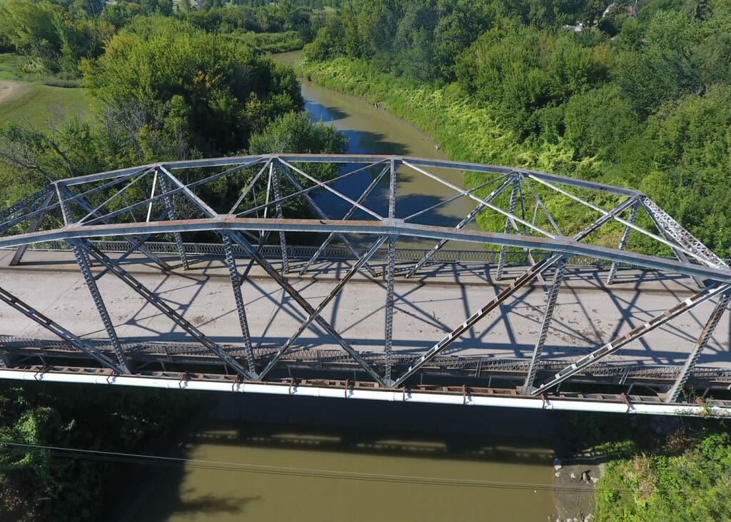
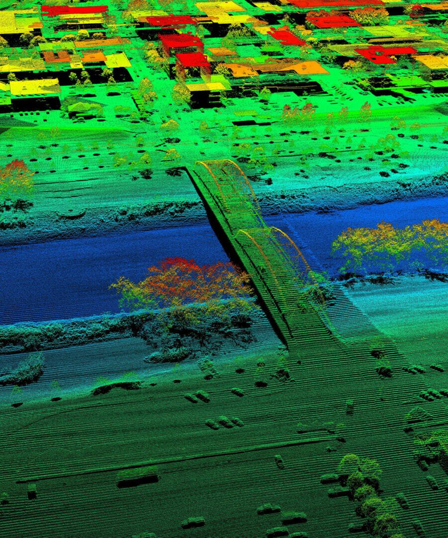
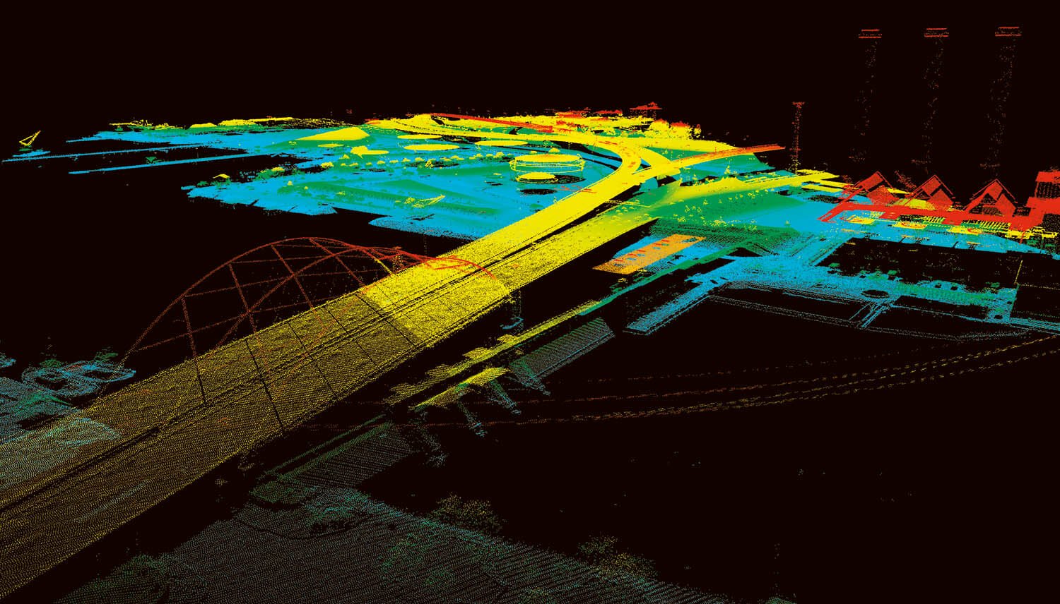
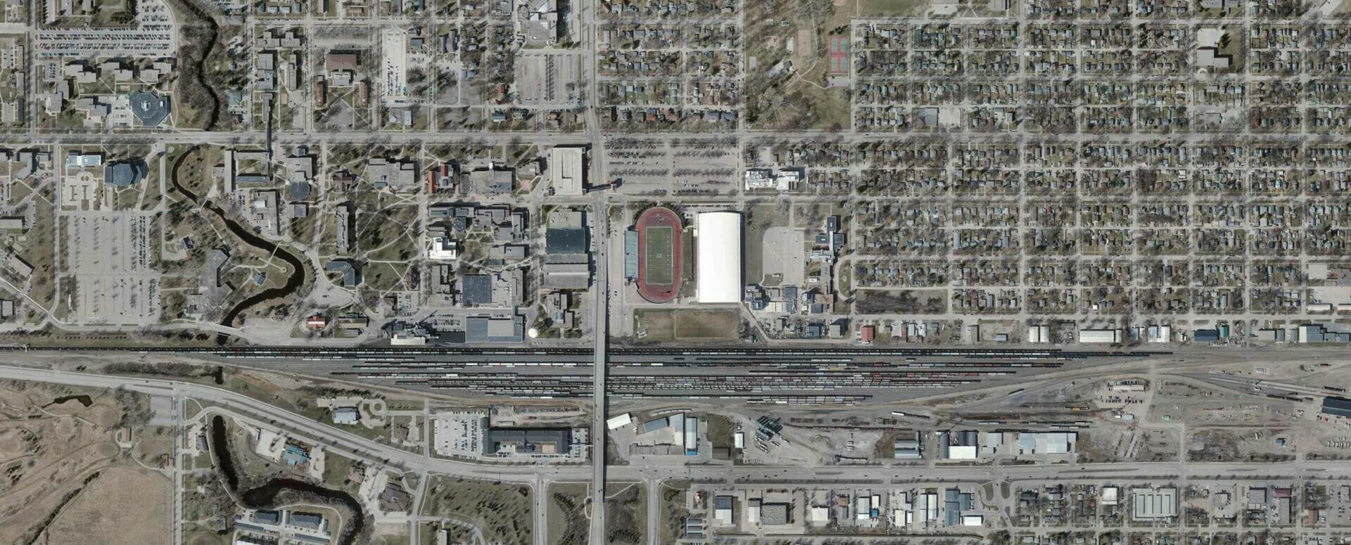
Local, State, Federal, and Tribal agencies are using aerial mapping, ortho imagery, and Lidar to solve problems and make well-informed decisions for their communities.
95West delivers geospatial services that help:
- Design new roadways and infrastructure
- Reduce costs
- Document and monitor utilities
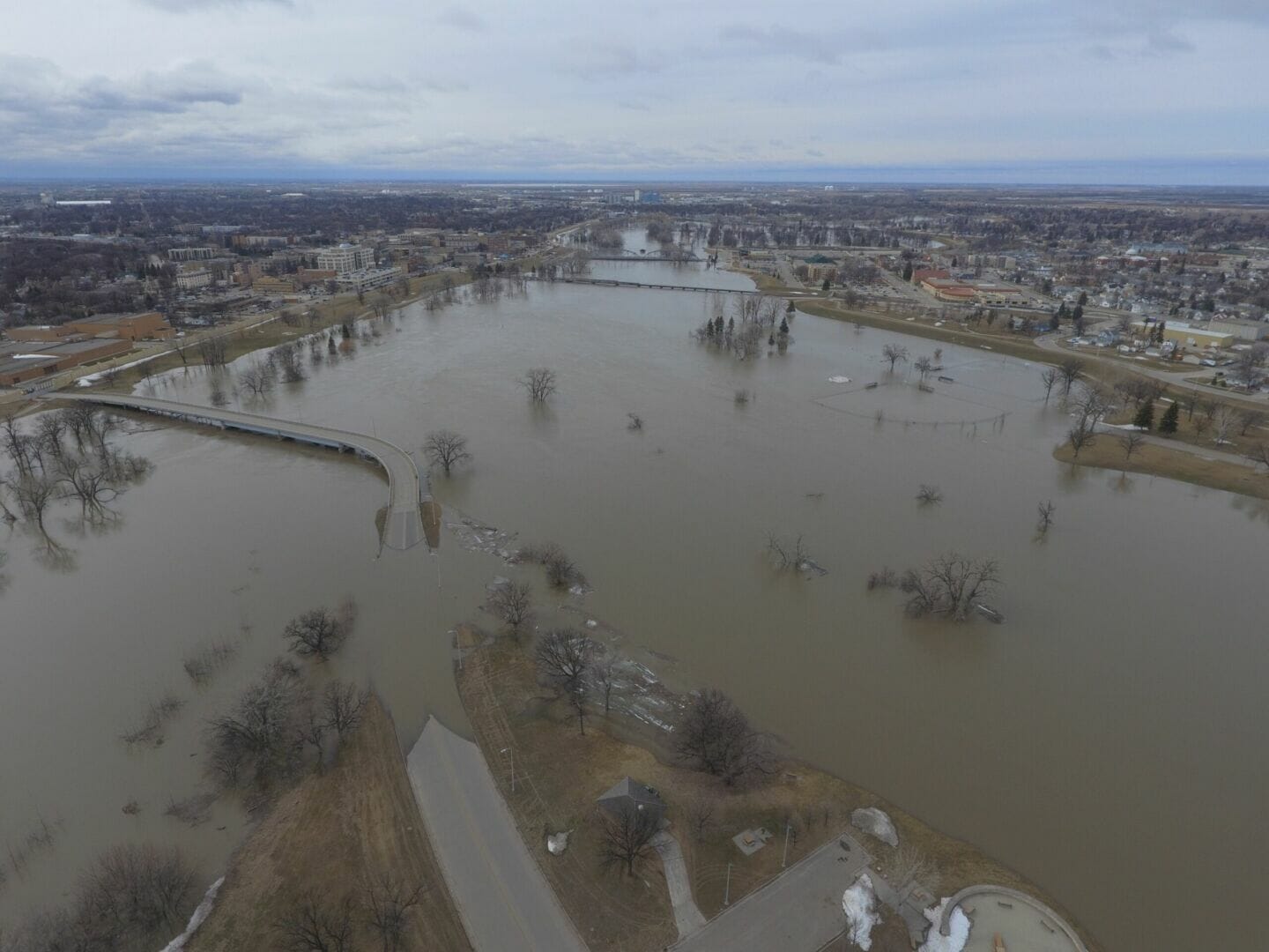
- Risk assessment
- Streamline community planning
- Provide a vertical perspective
- Archeological inventory
- Watershed analysis
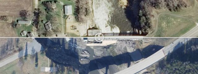
95West is also ready to serve in emergency response efforts and natural disaster recovery. We can assist in documenting for damage assessment, forensic analysis, and disaster response planning.
