Mines & Quarries
Mines and Quarries
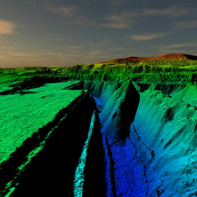
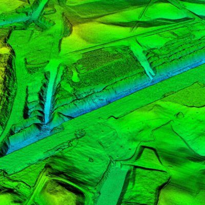
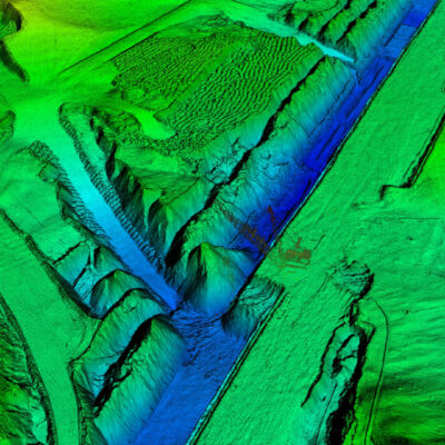
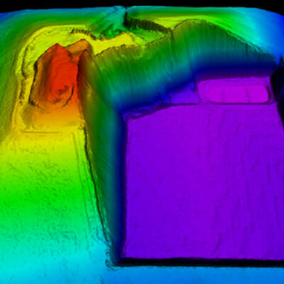
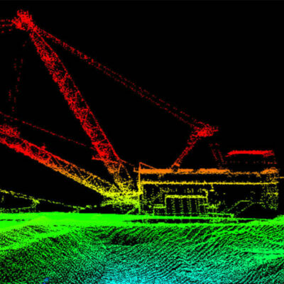
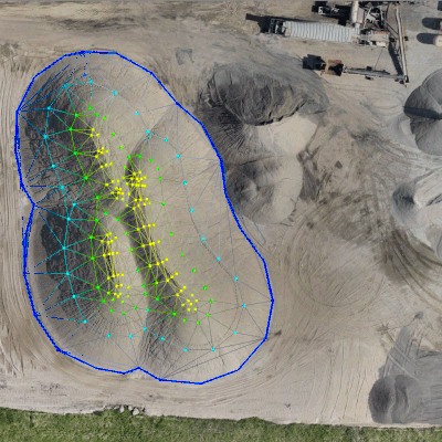
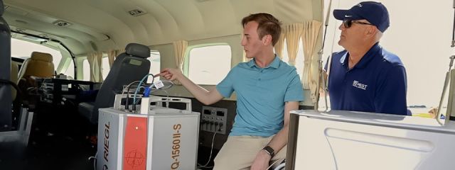
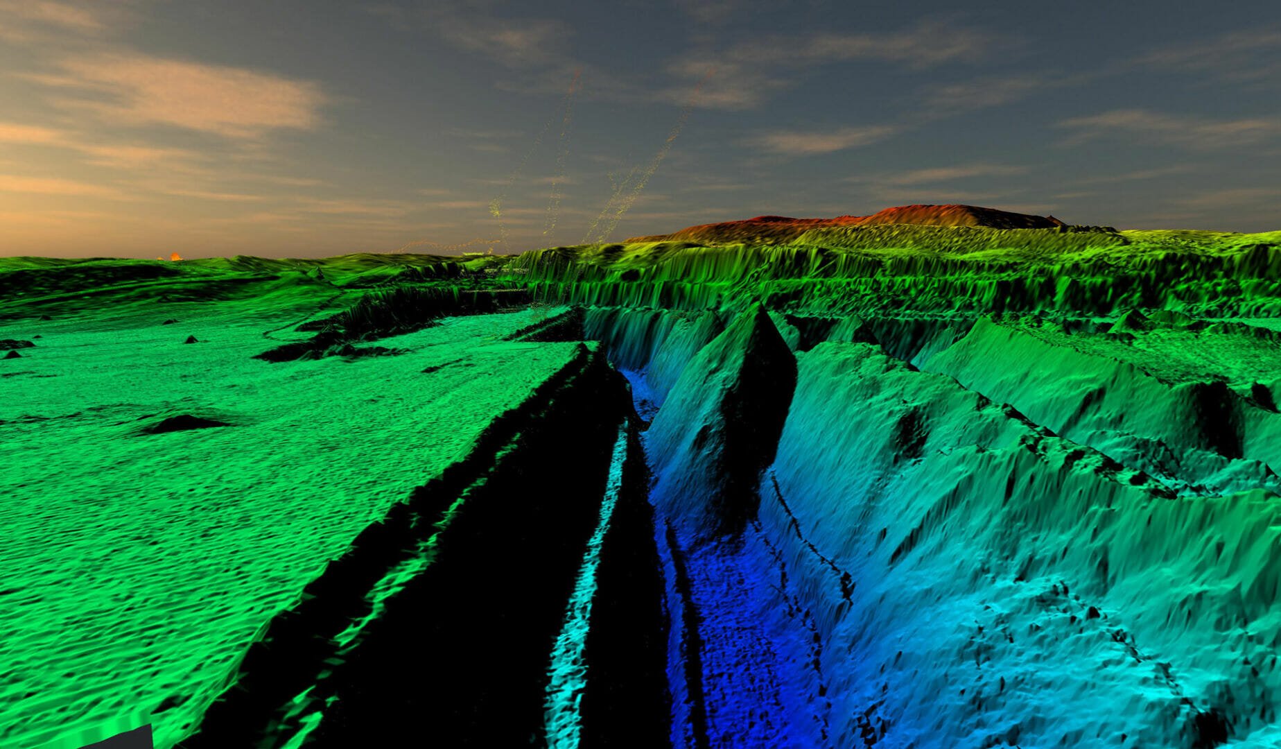
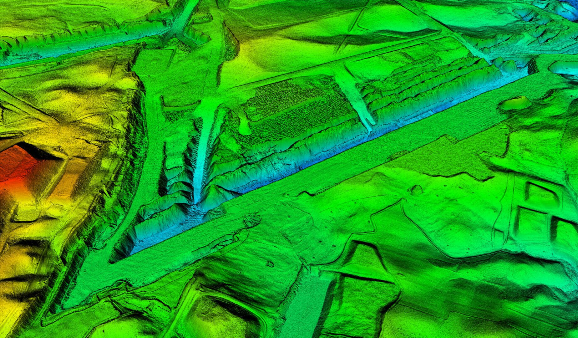
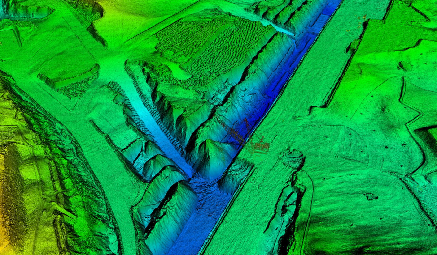
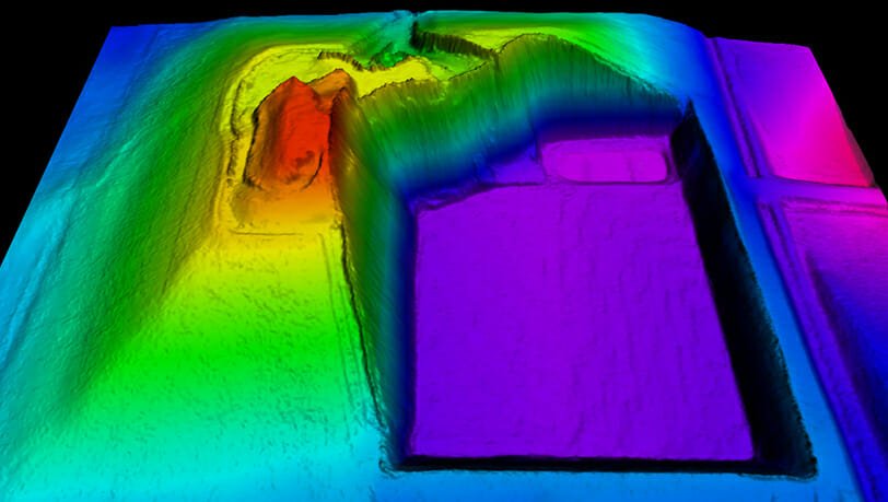
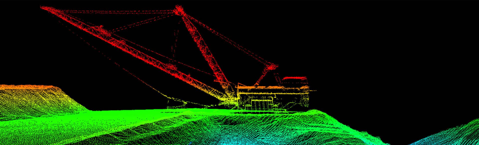
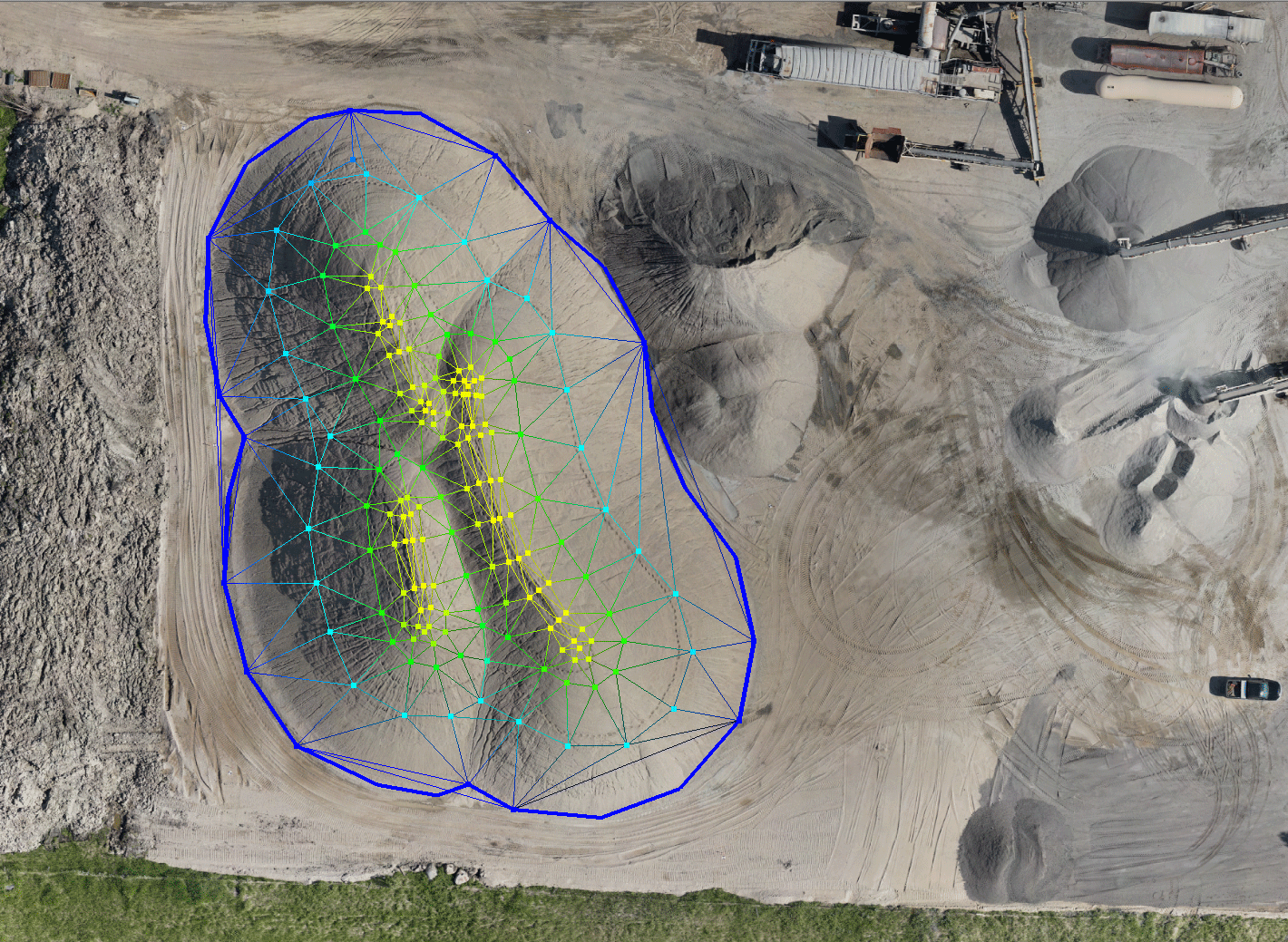
Active commodity mines and aggregate quarries across the nation regularly use aerial mapping, ortho imagery, and Lidar. Our clients benefit from increased accuracy, timely delivery, and greater perspective when using aerial services for:
- Volumetric Calculations
- Long Range Planning
- Tracking reclamation and restoration
- Government reporting