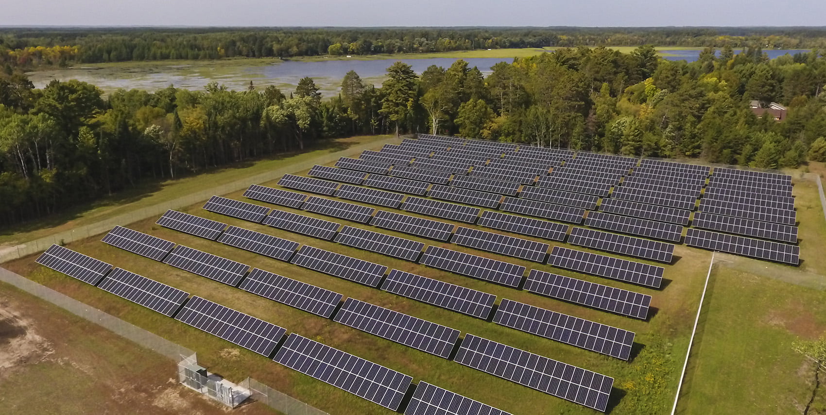
Aerial Mapping for Utilities
Utilities
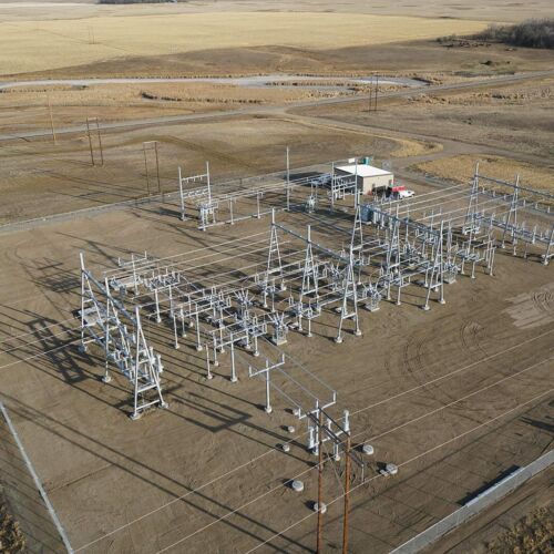
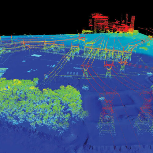
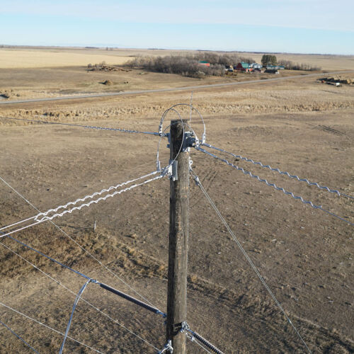
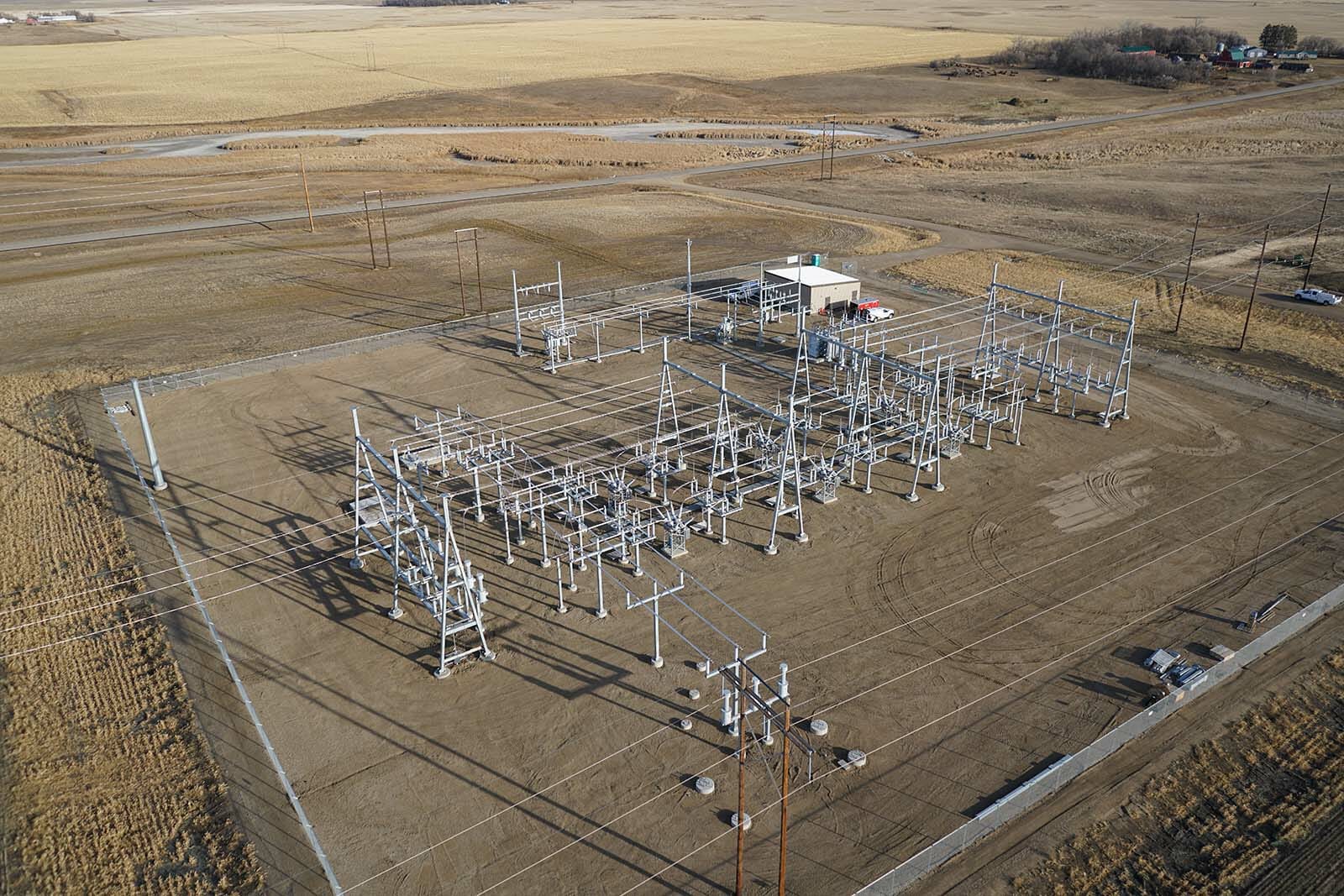
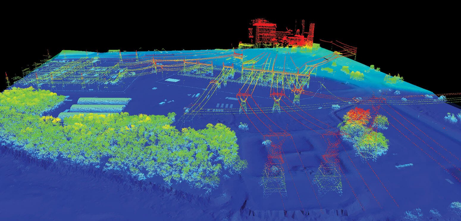
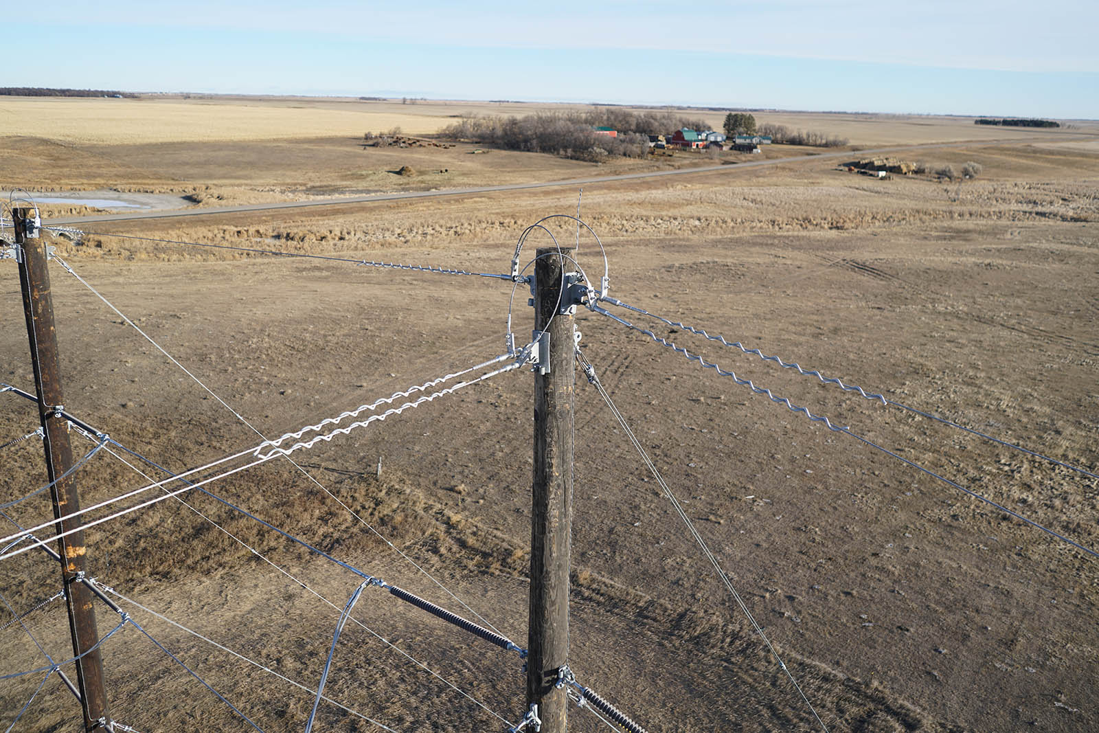
95West Aerial Mapping has extensive experience in utility corridor acquisition and classification for design, load analysis, vegetation encroachment and more. The “crossfire” pattern of the Riegl 1560 II-S can accurately depict powerlines, guy wires, insulators, and shield wire. The high-resolution imagery provides an up-to-date and detailed design reference.
Our unique simultaneous collection system is ideally suited for high density lidar collection and high-resolution imagery collection. In a single pass we can collect up to 60 ppm and better than 3cm GSD imagery.
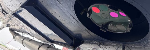
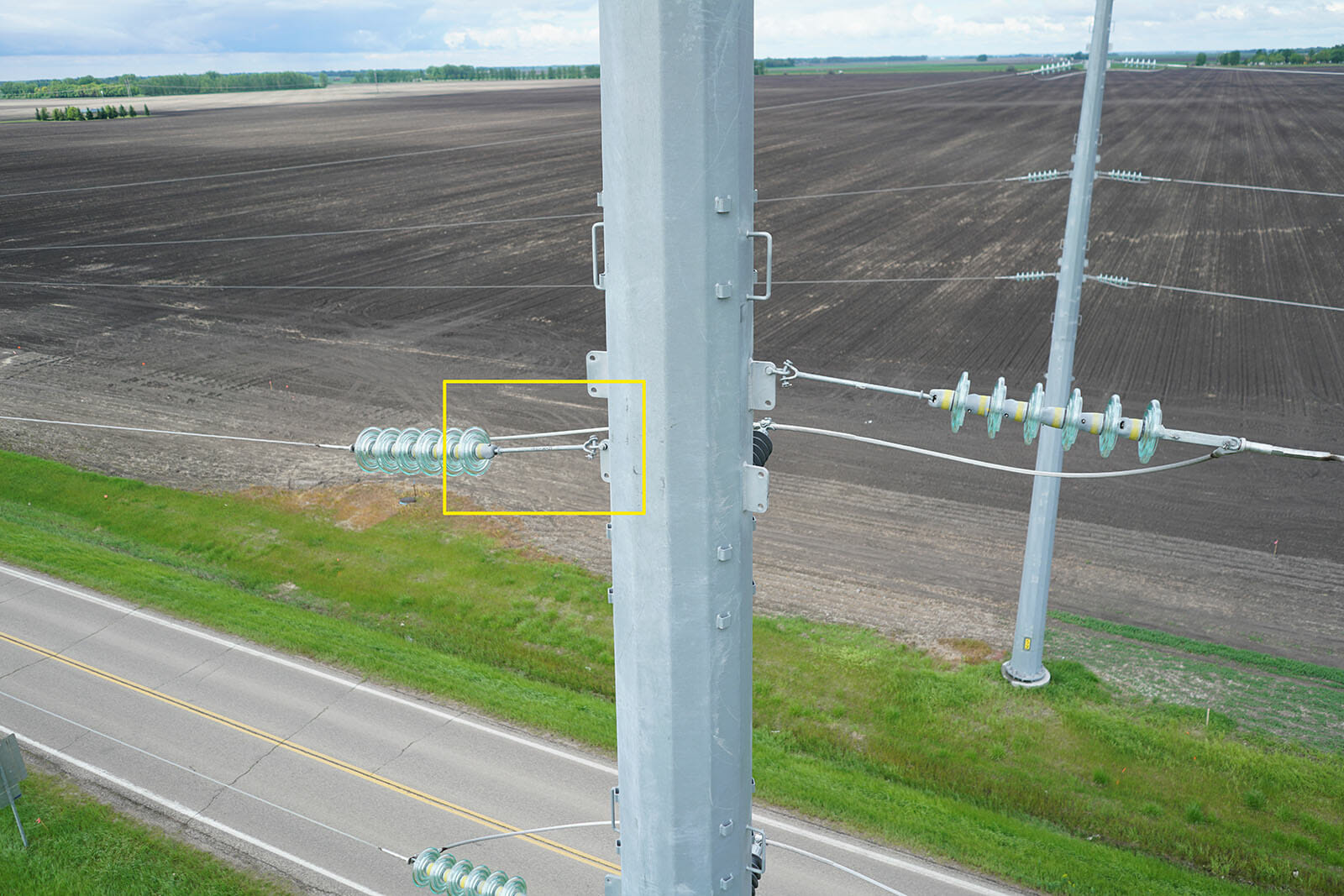
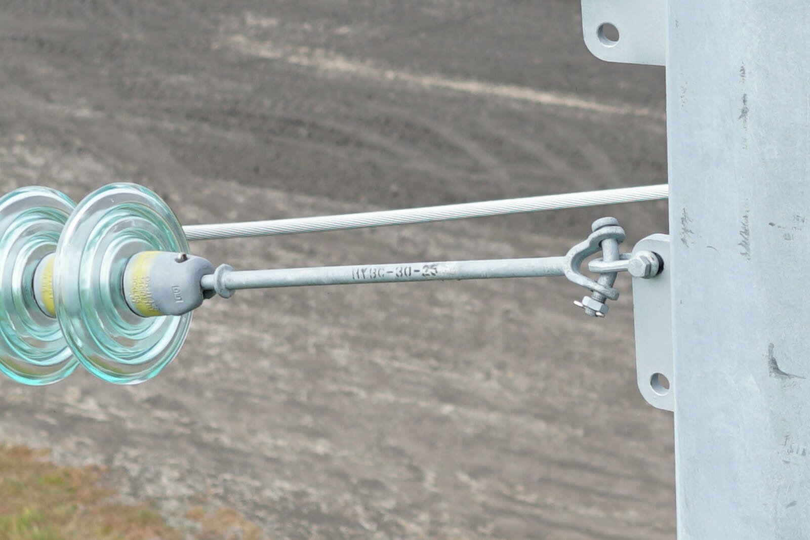
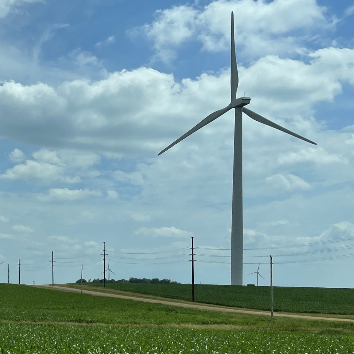
Tower Inspection
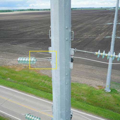
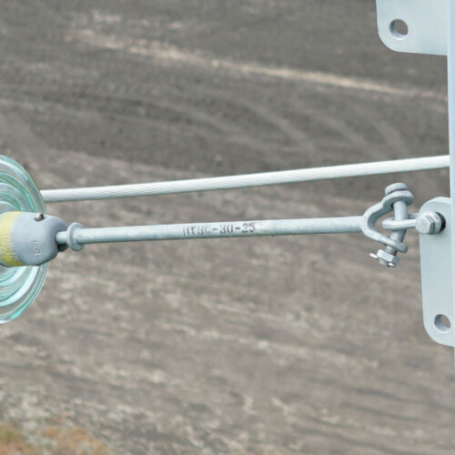
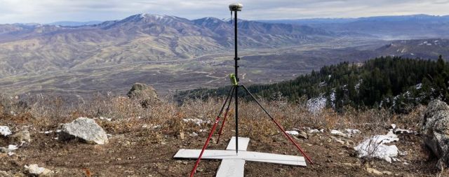
Unmanned aircraft give our clients the edge they need by providing new perspectives of their infrastructure.
Rapid deployment and immediate post-flight image download creates an efficient, cost-effective, and safe solution.
