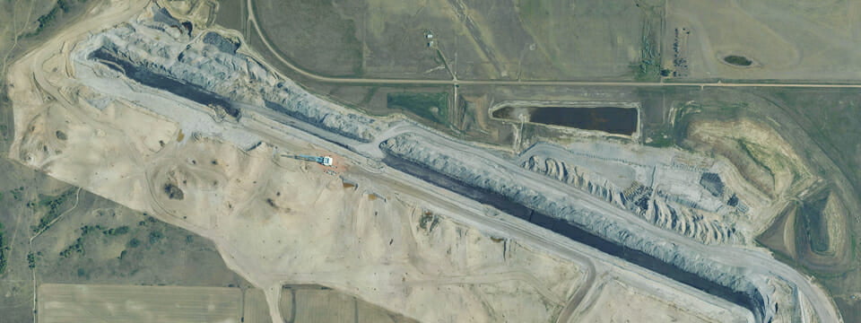
Active commodity mines and aggregate quarries across the nation regularly use aerial imagery and LiDAR for long-range planning and to track, model, and quickly calculate the changing volume of materials. This data is produced within a significantly shorter time frame, and because the material volume does not change during the survey, it is more accurate than traditional ground surveying methods. Smaller operations elect to approach this with a sUAS platform to decrease acquisition cost. Active commodity mines and aggregate quarries across the nation regularly use aerial imagery and LiDAR for long-range planning and to track, model, and quickly calculate the changing volume of materials. This data is produced within a significantly shorter time frame, and because the material volume does not change during the survey, it is more accurate than traditional ground surveying methods. Smaller operations elect to approach this with a sUAS platform to decrease acquisition cost.
Geospatial Services Help Mines and Quarries Track Material Volumes
By Miles Strain, CP, RPP