Forestry and Natural Resources
Forestry and Natural Resources
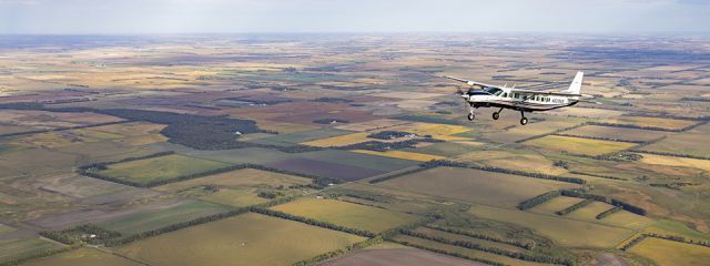
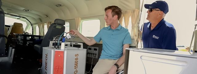
Managers of forests, rivers, watersheds, wildlife habitats, and other public lands have come to rely on aerial remote sensing to efficiently image and analyze assets on lands within their stewardship. When canopy volumes need to be studied, LiDAR provides a reliable means of penetrating vegetation to establish an accurate baseline ground surface as well as modeling the top of the canopy. The use of this technology allows us to estimate the quantity, type, and height of trees.
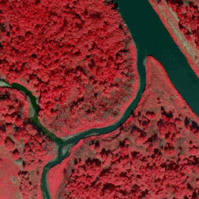
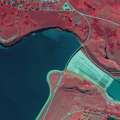
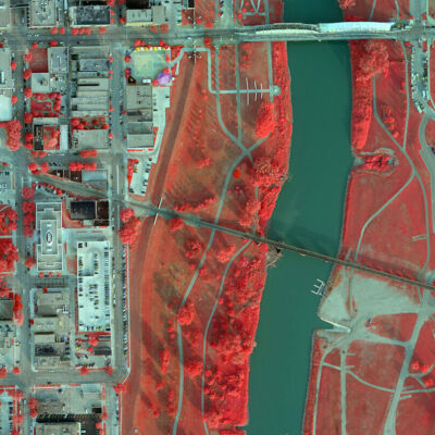
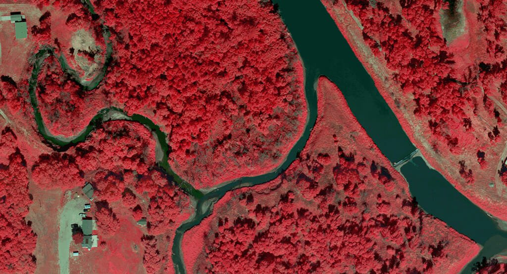
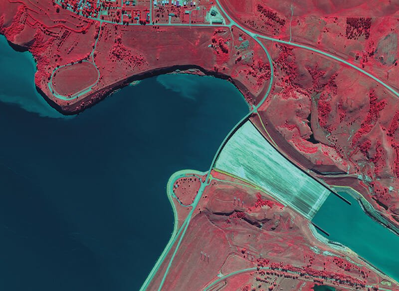
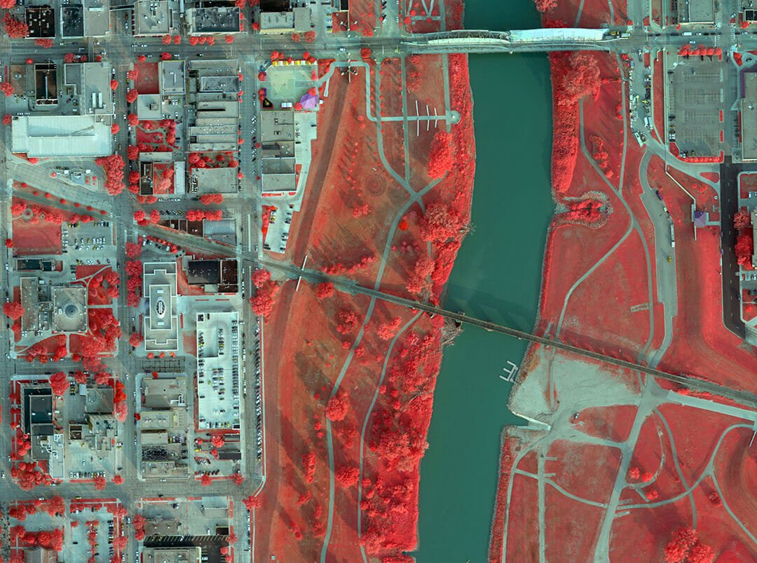
Color-Infrared (CIR) Imagery
CIR captures wavelengths emanating from vegetation, providing a more reliable means of monitoring and analysis. This can be used to assess vegetation health and classification, analyze invasive species, and more.
CIR is also used to analyze soil properties such as permeability, salinity, and erosion. The Normalized Difference Vegetation Index (NDVI) can be derived from digital CIR data, a key indicator in plant analysis, fertilizer and herbicide applications, and yield estimates.