Watch this video to learn about the services we provide, our industry-leading simultaneous collection system, and the clients we serve.
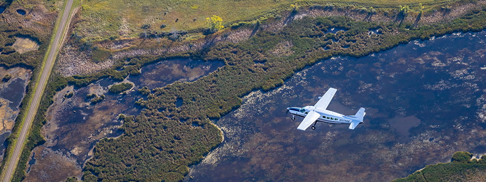
95West Aerial Mapping is a full-service photogrammetric company that provides aerial acquisition and geospatial services throughout the continental United States and parts of Canada. 95West flies an aircraft equipped with an ultra-high resolution camera to capture crystal clear images and a state-of-the-art lidar sensor to collect information about the surface, whether it’s a mining pit, highway, utility corridor, mountain range, forested area, city, or county.


