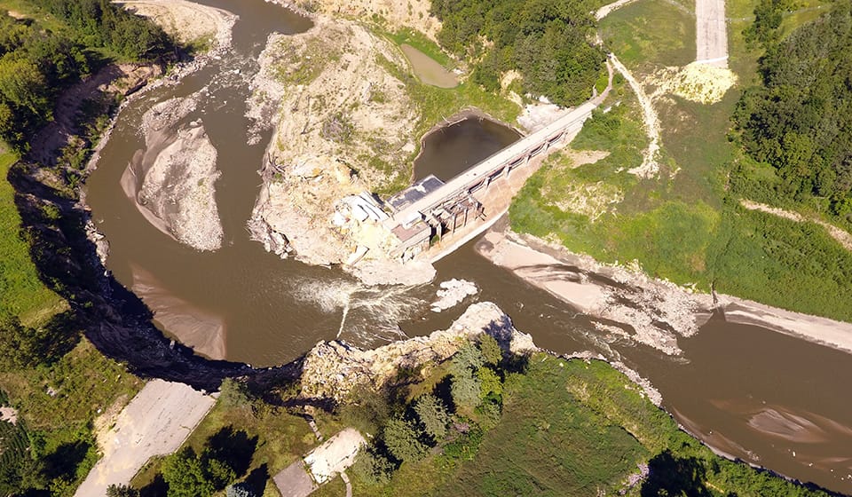

Disaster Preparedness and Rapid Response Aerial Mapping
Prepare. Respond. Recover. Rebuild.
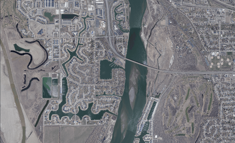
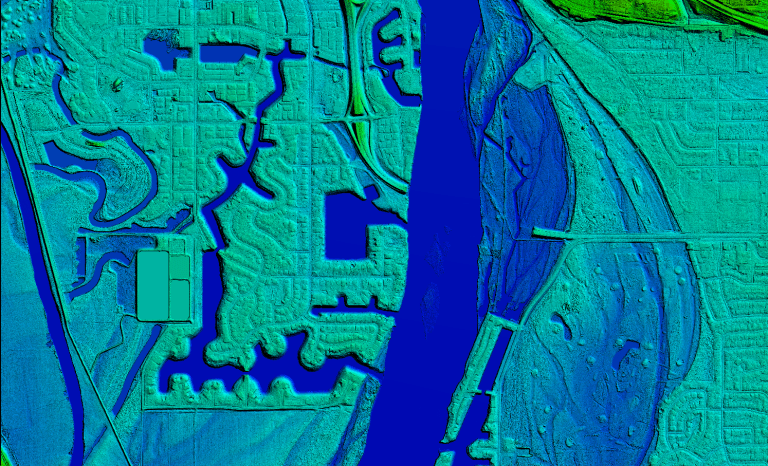
Natural disasters can happen anywhere, at any time, often with little warning. Whether facing flooding, severe storms, tornadoes, wildfires, or other emergencies, communities that have accurate geospatial data before a disaster are better equipped to respond, recover, and rebuild. 95West Aerial Mapping provides high-resolution aerial imagery and lidar data that support every phase of disaster management, helping communities make informed decisions when they matter most.
Prepare
Build a Strong Foundation Before Disaster Strikes
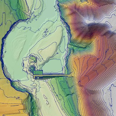
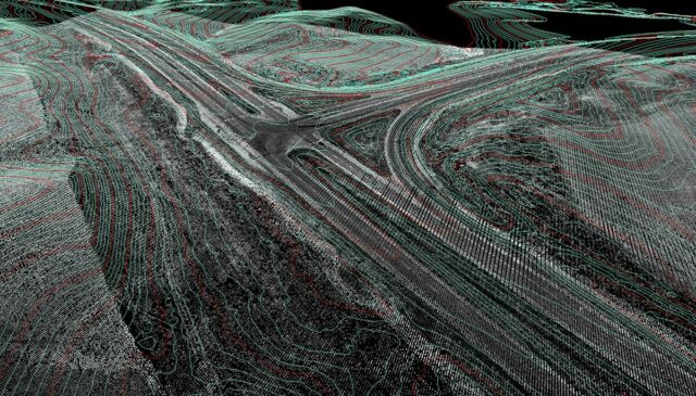
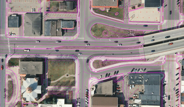
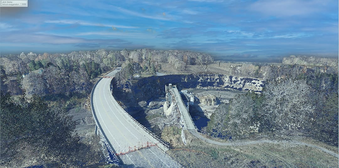
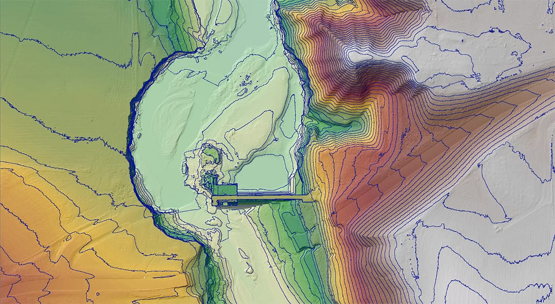
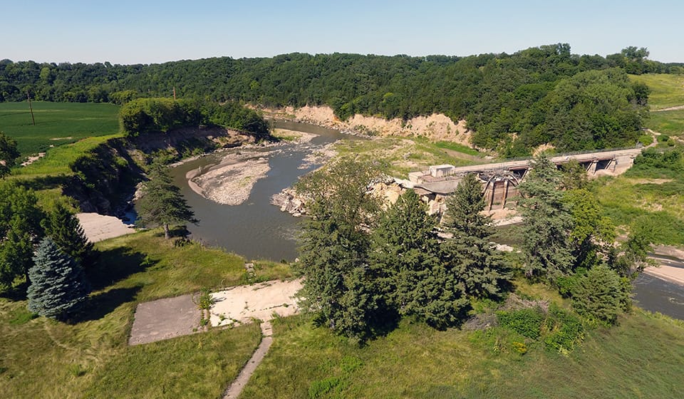
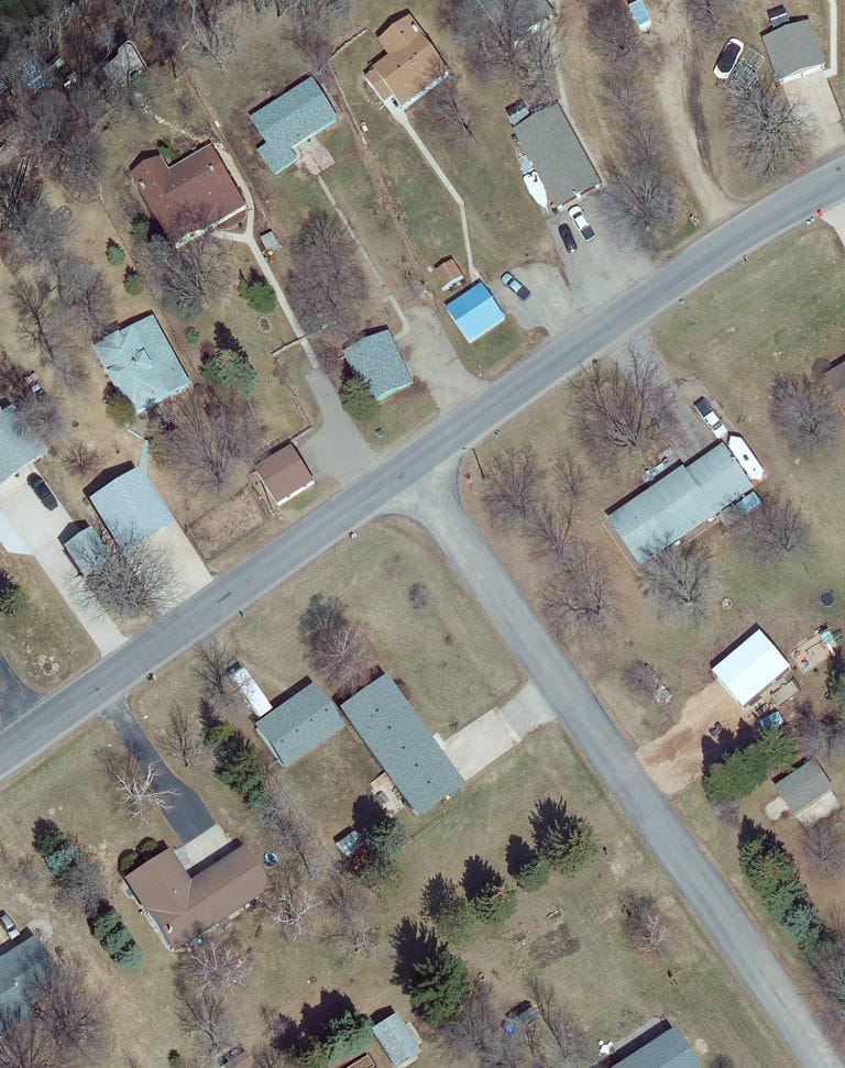
The most effective emergency response begins long before an event occurs. Having current aerial imagery and high-density lidar data on file creates a detailed baseline of community infrastructure, terrain, utilities, waterways, and land use.
This valuable documentation helps communities:
- Establish existing conditions before an event
- Develop emergency response plans
- Identify vulnerable infrastructure and assets
- Improve floodplain and drainage analysis
- Support hazard mitigation and resilience planning
- Create GIS-ready datasets for emergency management teams
By establishing a comprehensive record of your community today, you can make faster, more informed decisions tomorrow.
Respond
Rapid Emergency Response Mapping
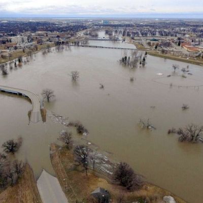
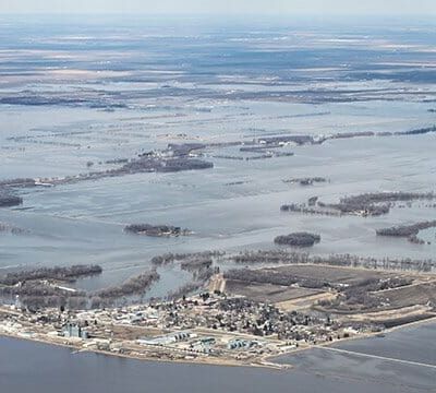
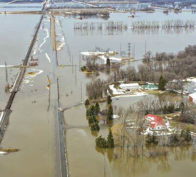
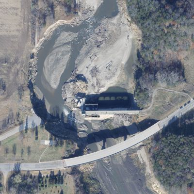
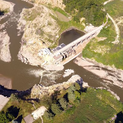
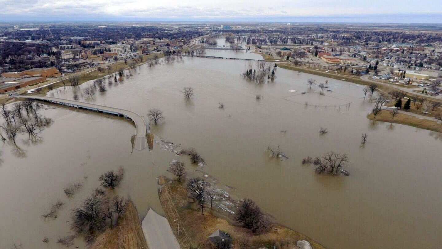
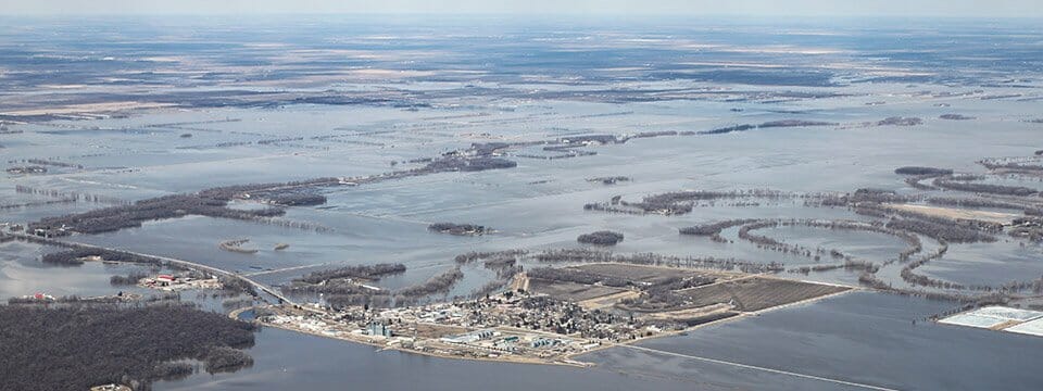
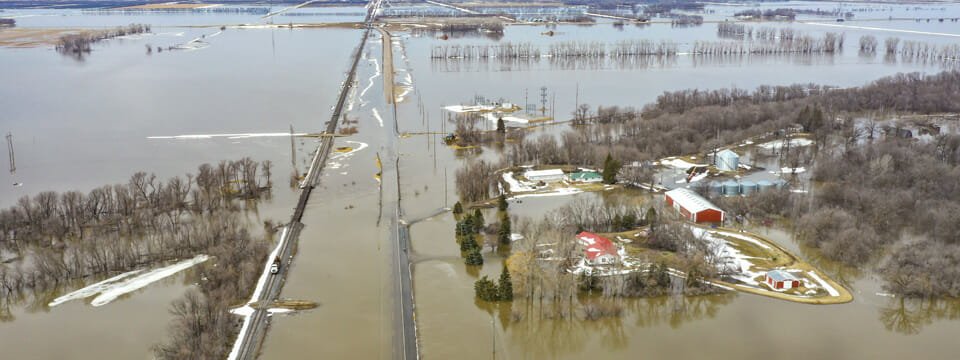
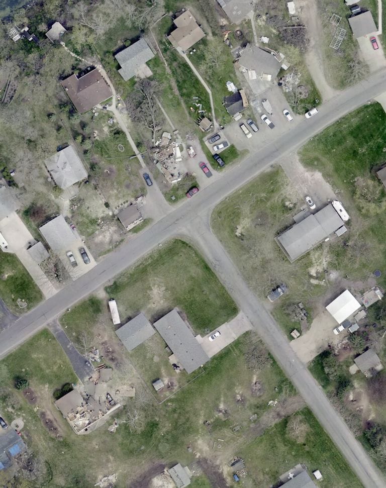
When disaster strikes, accurate information is critical. 95West can rapidly deploy aerial mapping aircraft to capture high-resolution imagery and lidar data of affected areas. Emergency managers, public works departments, utilities, and recovery teams can use this data to quickly assess damage and prioritize response efforts. Our aerial mapping solutions support:
- Flood extent mapping
- Tornado and storm damage assessment
- Infrastructure inspections
- Emergency operations planning
- Debris identification and management
- Situational awareness for decision-makers
Fast access to accurate geospatial information helps communities respond more effectively and allocate resources where they are needed most.
Recover
Document Damage and Support Recovery Efforts
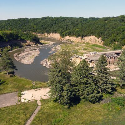
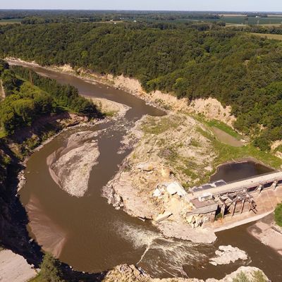
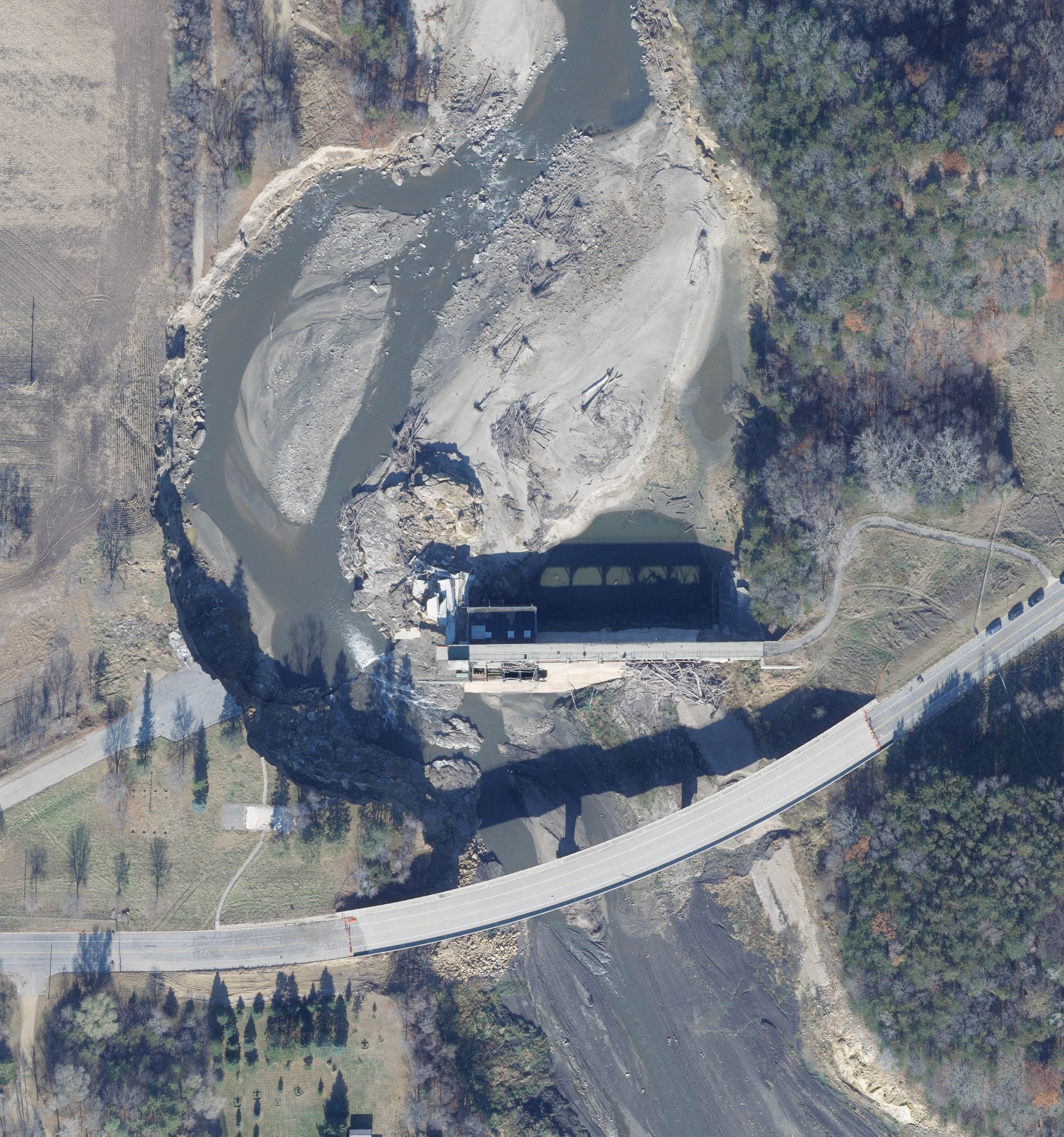
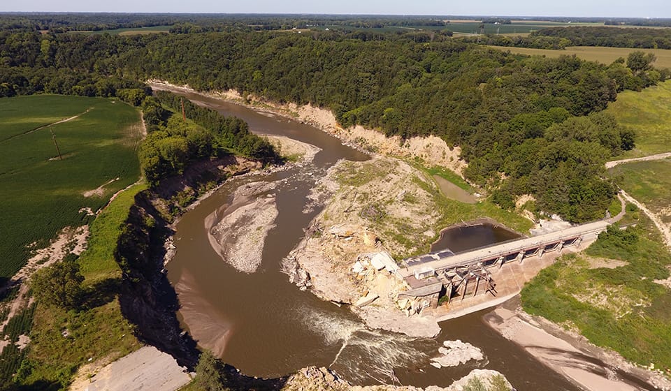
When disaster strikes, accurate information is critical. Capturing aerial imagery and lidar data immediately following a disaster provides a detailed record of damage across the affected area. When compared against pre-disaster datasets, communities gain valuable insights into:
- Damage to roads, bridges, and public infrastructure
- Changes to waterways and drainage systems
- Impacted buildings and facilities
- Environmental and landscape changes
- Utility and transportation network disruptions
These datasets support recovery planning, resource allocation, reporting requirements, and communication with local, state, and federal agencies.

Rebuild
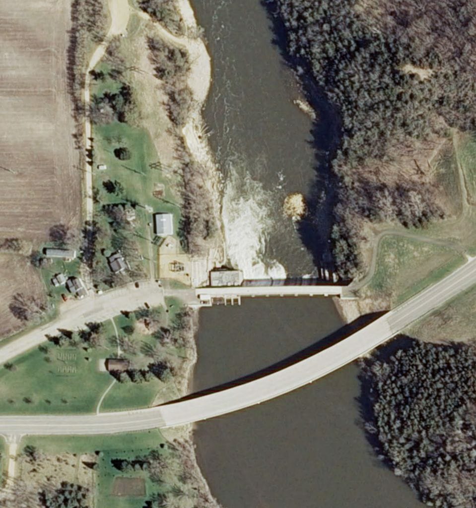
Recovery does not end when the immediate response is complete. Updated aerial imagery and Lidar data provide the foundation for rebuilding efforts and long-term community resilience. Communities can use this information to:
- Prioritize reconstruction projects
- Update engineering and design plans
- Improve future mitigation strategies
- Monitor rebuilding progress
- Evaluate long-term environmental impacts
- Enhance preparedness for future disasters
By understanding what changed and why, communities can rebuild more efficiently and strengthen their readiness for future events.
Want to learn more about how aerial mapping can help your community in after a natural disaster? 95West has full news post with more details on Emergency Response Aerial Mapping.
Know who to contact:
After contacting your local, county, state, and federal agencies, call 95West to schedule a flight to gather documentation of the damages as soon as possible.