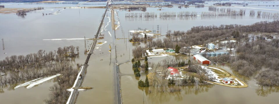

Orthophotography and Lidar for Transportation Planning
Local, state, and federal organizations’ transportation projects.
Transportation Aerial Services
Our team at 95West has the knowledge, skills, and experience to provide geospatial services in support of all types of transportation projects for local, state, and federal organizations.
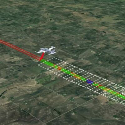
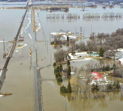
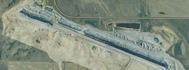
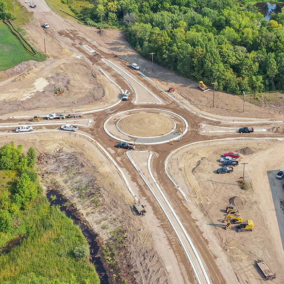
Aerial mapping services provide substantial benefits to the transportation industry:
- High accuracy mapping
- Cost savings with simultaneous capture
- Safe and efficient data collection
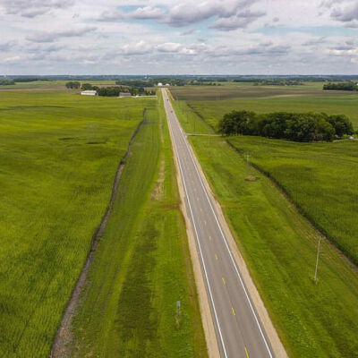
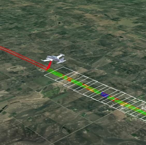
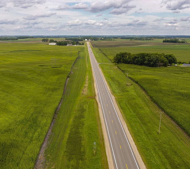
- Corridor or wide-area coverage
- Aerial site overview
- Timely Delivery
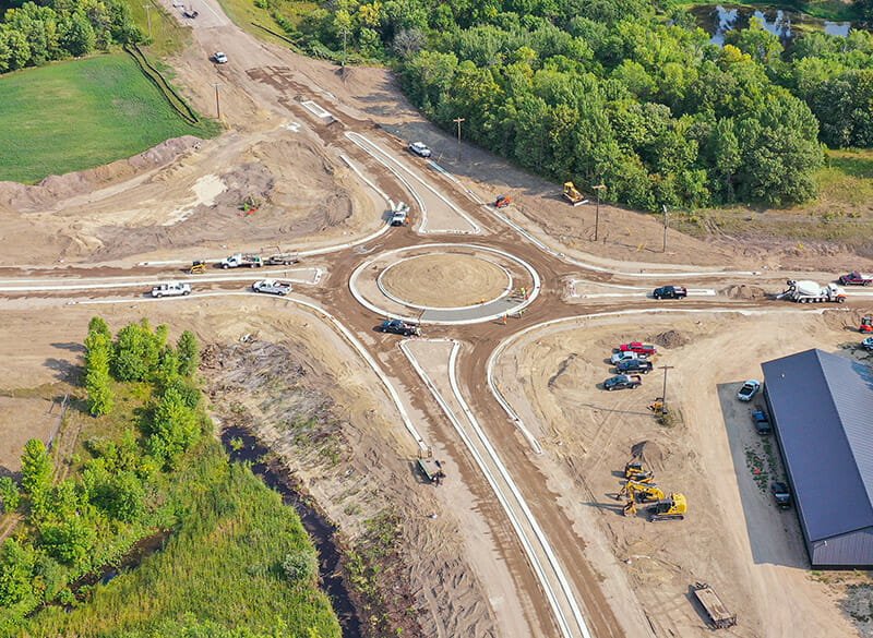
Fast-Track Your Transportation Project
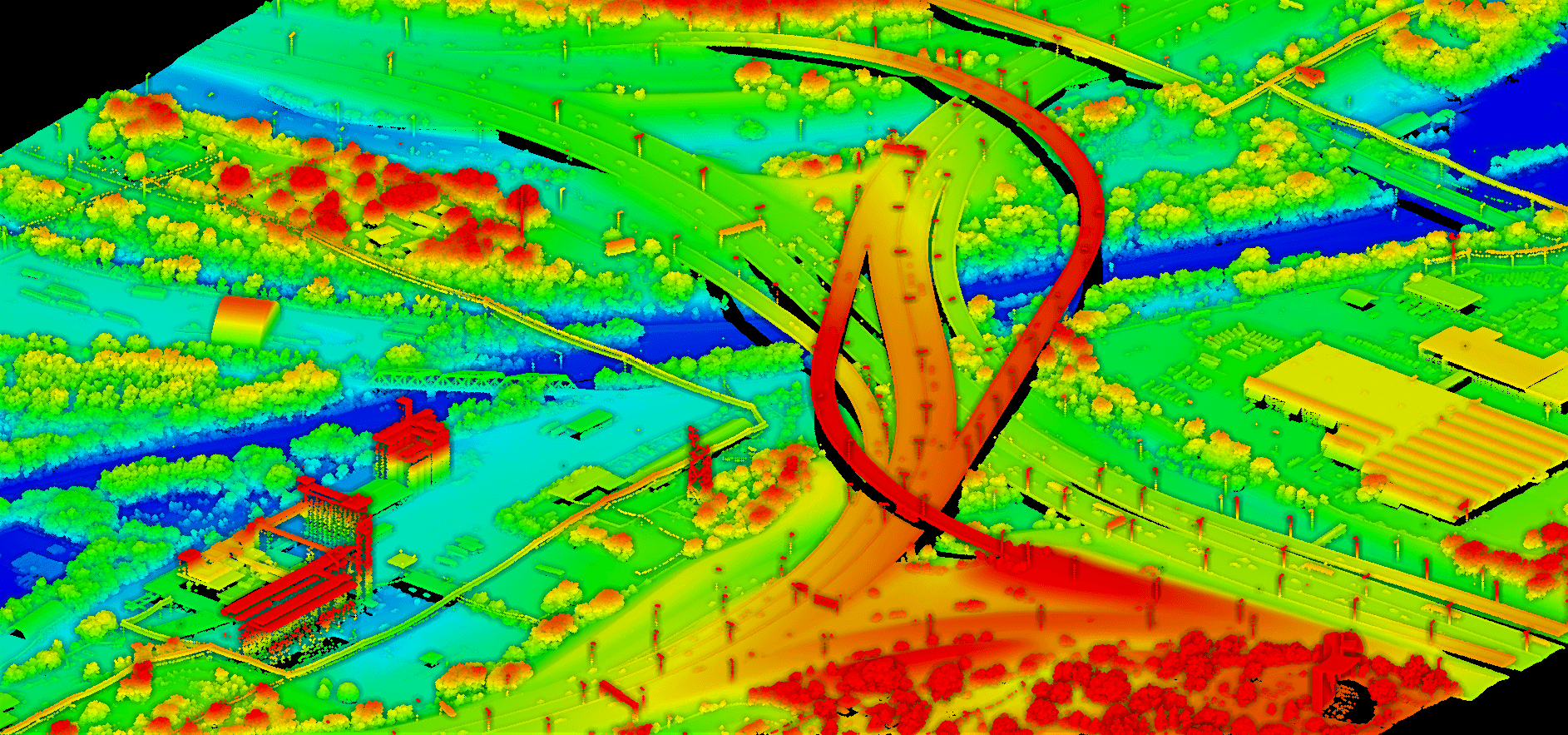
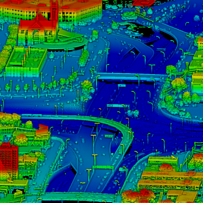
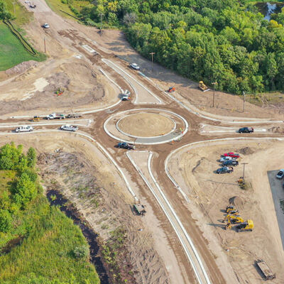
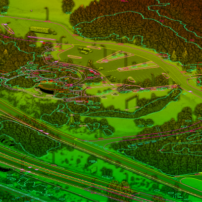
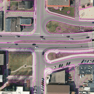
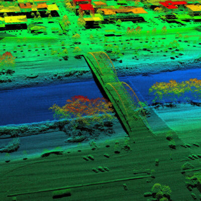
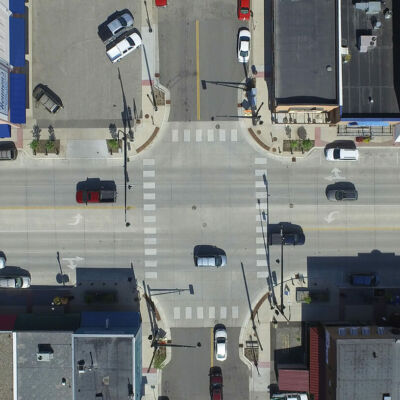
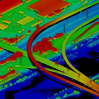
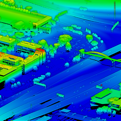
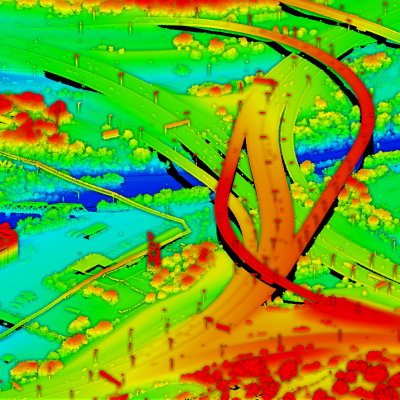
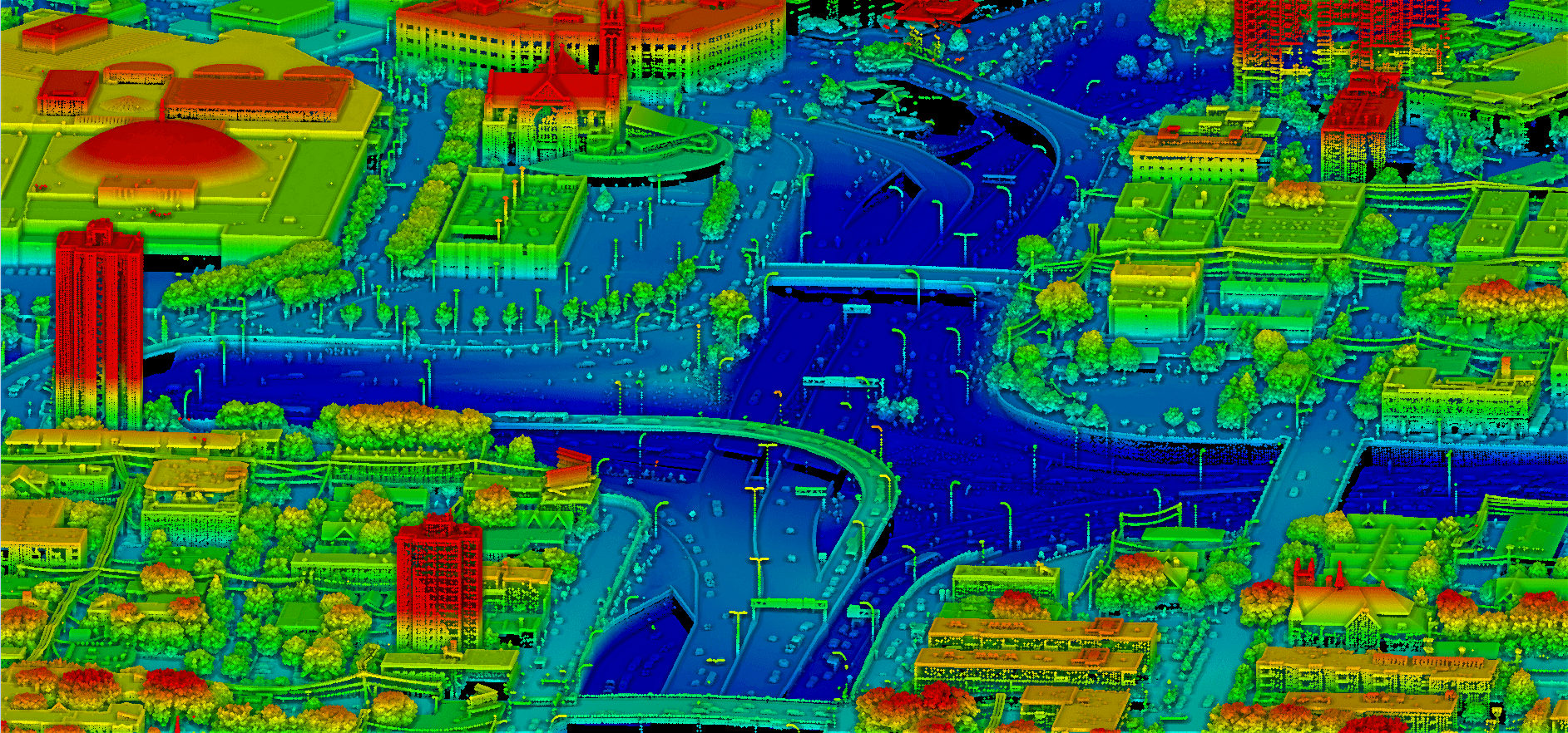
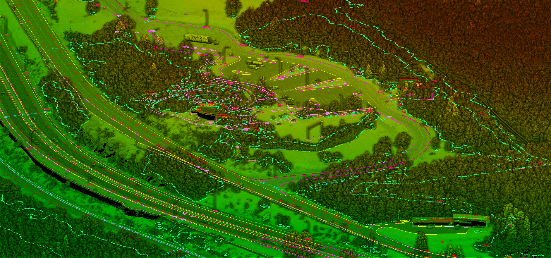
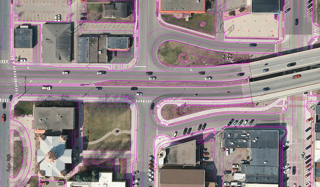
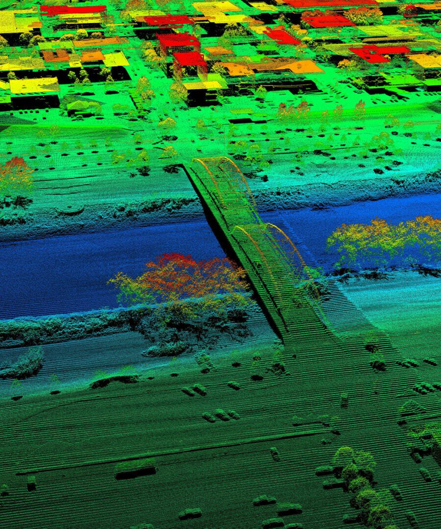
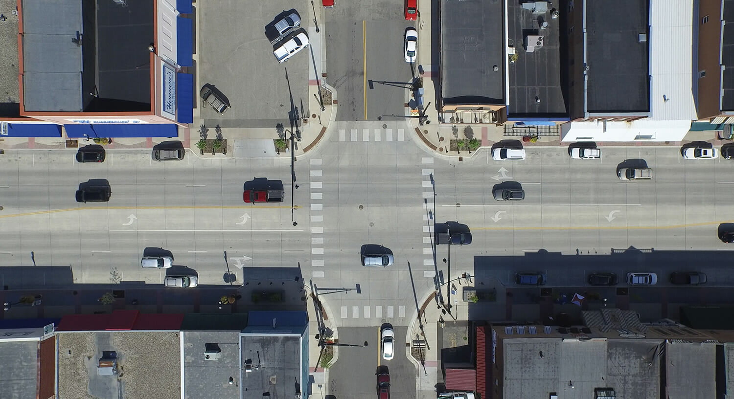
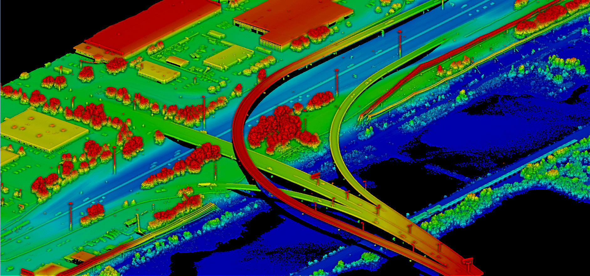
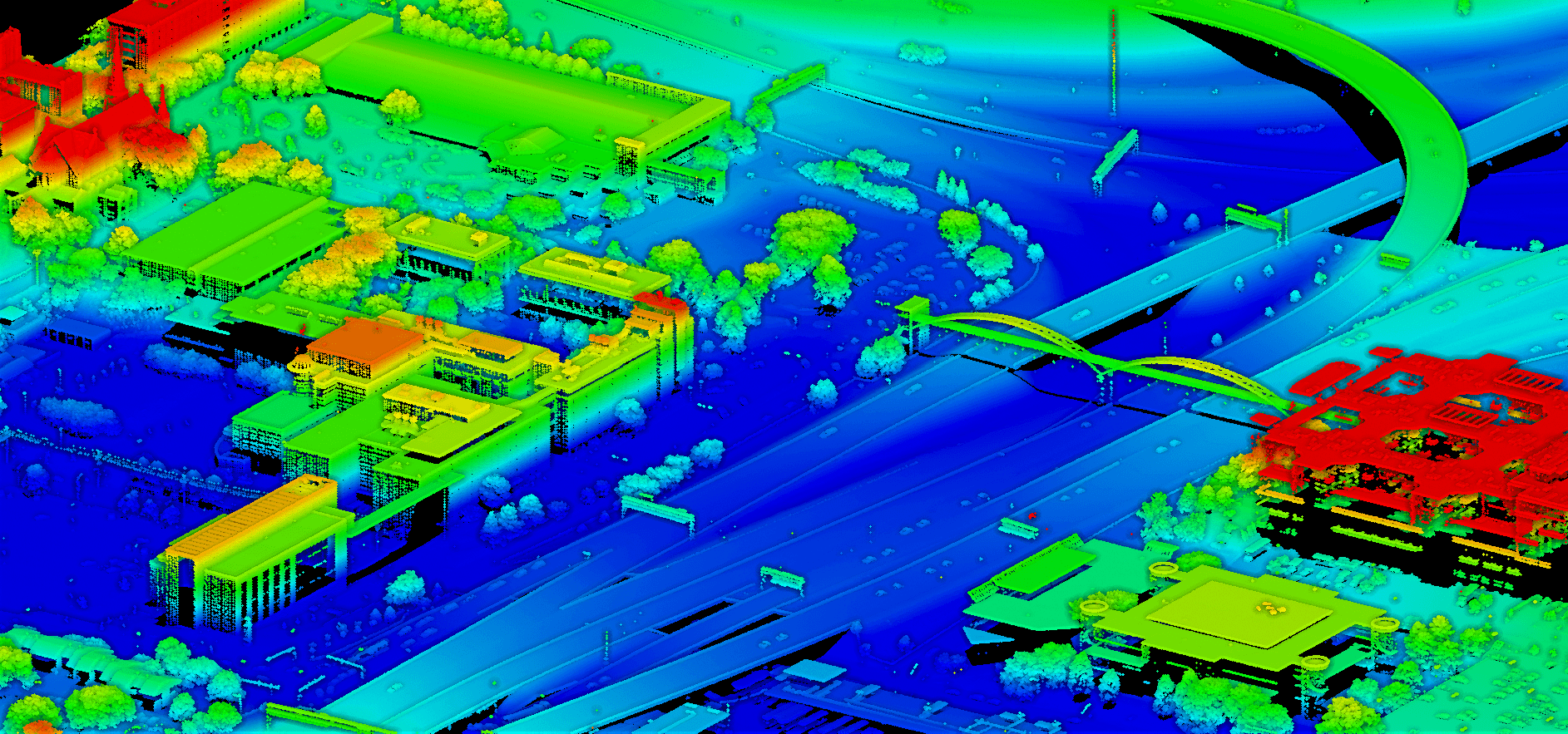
Our transportation solutions, from roadways to railways to airports, have enabled our clients to fast-track project completion without sacrificing accuracy or quality. We regularly support design-build efforts for major highway construction partners, including transportation departments and engineering firms. We typically use large scale mapping solutions, such as high-density lidar and low altitude photogrammetry supported by a highly accurate control survey.